This is a guest post by graduate student Qing (Lucy) Liu about her team’s experience at the Esri Canada App Challenge:
The ECCE App Challenge is a coding completion held by Esri Canada. Started in February 27, 2015, teams of participants were given one week to develop an innovative app using open data and Esri software. The apps to be developed should be on some aspect of government services in Canada, for any of the following themes:
- Housing
- Health (human and/or animal/environmental)
- Parks and recreation
- Education, including daycare
- Public/private transport, including infrastructure
- Garbage collection/snow/branch removal
- Emergency management
- Information services (online information access and use)
- Utilities
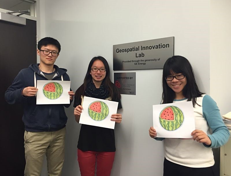
Chen Chen and I teamed up with Jingwen Huang (a MSc student working with Dr. Su-Yin Tan) and participated in this competition. We named our team as Watermelon for two reasons. Firstly, with symmetrically distributed stripes that can be seen as longitudes, watermelon is a fruit that look most similar to an earth. Secondly, we are following two leading cell phone companies that also choose a fruit as their names, which are Apple and Blackberry.
Inspired by the theme of World Health Day 2015, “Food Safety: from far to plate, make food safe”, we decided to focus on food safety field. Region of Waterloo happened to provide Food Premise Inspections dataset, we decided to develop a WebGIS application that can be used to help consumers choose right restaurants.
The data used was obtained from Open Data Catalogue held by Region of Waterloo. It represents food safety inspections and re-inspections for geographically fixed food premises. Web AppBuilder was used to build our web application.
The map is composed of two layers; one represents a heatmap of critical infractions and the other contains points of food facilities. The heatmap is presented from red to grey based on the number of critical infractions inspected, and food facilities with the most number of critical infractions are shown in red while those with the least number are represented in grey. The two layers are displayed on the basemap of Streets by default, and the users can select their preferred basemaps. Information of a particular food facility can be displayed once a food facility point is selected, including facility name, address, telephone, number of critical infractions and number of uncritical infractions. In addition, queries are enabled for users to extract detailed infraction information including inspection date, whether a particular infraction is critical and a brief description of the infraction. Users can make the queries by specifying the facility name or a range of dates, and inspection information of facilities with the names specified or inspections carried out between the dates selected will be returned to the users. Further, users can select facilities on the attribute table, and the selected points will be highlighted on the map. On the side of the web page, general information of food safety is displayed, from which users can find instructions on how to report food illness, information of food safety training courses as well as contact information of Public Health.
In addition to developing the web application, we also created a pitch video that describes the usage and characteristics of the application. All the comic pictures were hand-painted by Chen Chen.
Participating in this competition is a great experience for all of us. We have explored government open data, new products and resources offered by Esri. Especially, WebApp Builder is very useful to build GIS applications that can run across any device. Ready-to-use widgets and some app templates save time and efforts for GIS people who are not necessarily skilled at writing codes, and enable developers to focus more on spatial analysis. ArcGIS online is a great tool for creating maps that can be viewed in a browser, desktop or mobile device. Compared to Desktop ArcGIS, it is intuitive and very easy for people without GIS background to create customized maps. One of the limitations of ArcGIS online is that it is not fully free to users. Users are required to buy ArcGIS online annual subscription once their 60-day trial ends. In addition, attribute names cannot be edited via ArcGIS online. This could be a problem as cause some confusions would be caused to end users of the maps if attribute names are not straightforward. Take our case as an example, the attributes of selected points are shown to users. As the data contain redundant attributes, and some attribute names are not straightforward, some useless information is provided, but there is no way to select attributes to show and change the display names of attributes.