One of the most exciting Geoweb developments of 2010 has to be Crowdmap, a fully packaged, hosted, user-contributed mapping solution produced by the non-profit tech company Ushahidi. You may have heard of Ushahidi, the developers of collaborative map-making technology first used to gather reports of violence from cell phone users during the 2007 Kenyan election. This technology has since been used in many other crisis mapping situations, from the earthquake in Haiti, to the recent New York snowstorm.

Briefly, both the Ushahidi and the Crowdmap.com platforms allow users to contribute spatially-referenced data, such as comments, observations, photos, or other hyperlinked media to a map. Of course you can do this with Google Maps, particularly Google MyMap or with sites developed with the Google Maps API. Crowdmap provides a near-instant, no-coding setup that improves on a Google Map because it can accept data coming from wide variety of input methods and requires no login. We all know that logins are a huge impedance to participation (though there are benefits as well), but the ability to accept input from web users, SMS/text message, twitter #hashtag, and email makes Crowdmap a potentially very powerful tool.
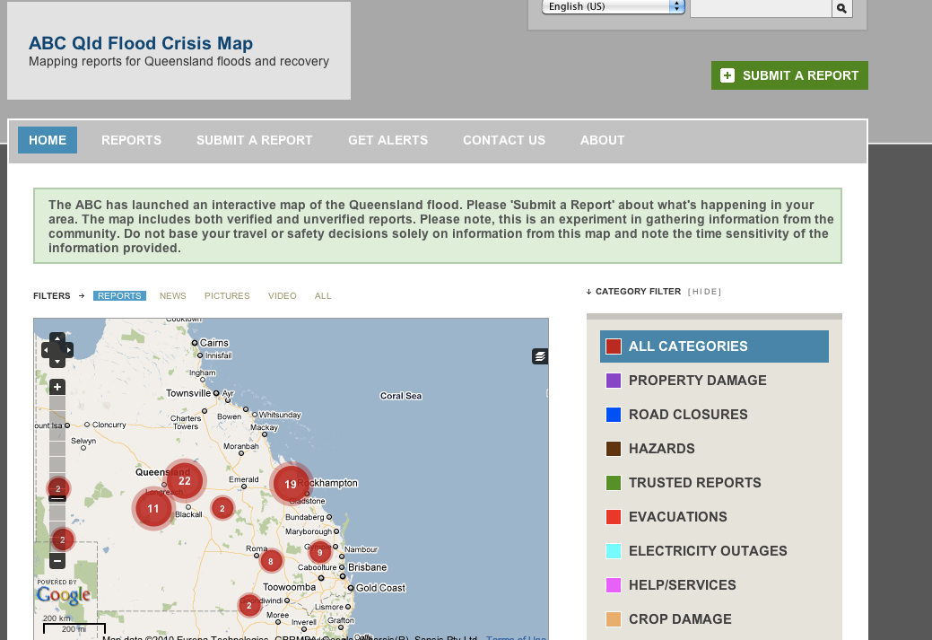
Ushahidi and Crowdmap were originally targeted towards crisis mapping, however there are countless uses for the Crowdmap platform. I just checked the Ushahidi twitter stream and one that jumped out at me is the ATM mapping in Manchester, New Hampshire (NH) implementation. Setting up this site was as simple and creating a user account and ticking several preference boxes. Another crisis-related use of Crowdmap that is starting to trend on twitter is the Queensland floods map.
Any way that you can think of mobilizing a community to address some spatially-related issue, Crowdmap can help. How are you currently using (or planning to use) Crowdmap?