I recently had the pleasure of working on a new project called “Volunteered Drone Imagery: Challenges and constraints to the development of an open shared image repository”, with Dr. Britta Ricker, University of Washington-Tacoma, and Sara Harrison, a recently-graduated MES student from Waterloo.
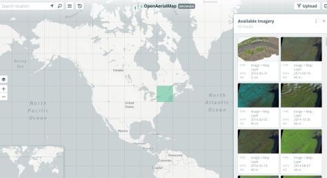
We were inspired by the overall concept of OpenStreetMap, a user-generated map of the world, and wanted to think about how the same concept – volunteered geographic information, could be applied to the explosion of imagery data now being made available through the use of recreational drones. There is an emerging ecosystem of technologies and systems to support not only the creation of micro-level imagery, but to overcome the daunting task of sharing this information. We looked to the OpenAerialMap project as an example of this. Drawing on technology adoption constraints literature, we consider the main challenges to creating this open shared image repository (emphasis on open here – there are a number of private-sector options that do not allow imagery to be shared or re-purposed).
Together, we wrote a peer-reviewed paper that was accepted at the long-running and highly-competitive Hawaii International Conference on Systems Sciences (HICSS-50) for 2017. Dr. Ricker was happy to present this on our behalf, and this paper will serve as a jumping off point for further research into how volunteered imagery sources can be both contributed and shared more easily. This paper is available open access through the University of Hawaii at Manoa repository.