Google has recently released the latest and greatest version of their free popular geographic information package. This version bring a whole host of new features, including the ability to look at historical imagery, the addition of Mars and underwater viewing. My favorite new feature is the"record a tour"option, which lets you track a session (including zooming and panning) while recording commentary. The resulting tour file can be saved as a .kmz format and shared via email, posted on a website or blog, or distributed to anyone else for viewing in Google Earth.
I think this could be a very neat way to create your own “mini tour”, and something that could be used in all sorts of social media tourism advertising content. I can imagine tourists, operators, and locals all creating their rich narratives of a location using this method.
To test out this new feature, I started to put together a tour of my favorite spots in the Mile-End neighborhood of Montreal. Some of the limitations of this feature became very clear. The quality of the satellite imagery, especially for dense urban neighborhoods or rural areas is not great. You really need to pick a location with nicely rendered 3D buildings (like the Google example did, with Sydney Australia) or some other dramatic feature to be able to communicate much with the tour. Without these visual effects, the tour looks very flat (obviously), and it is difficult to describe anything so that a potential viewer would be able to find it later, or to be used as a marketing tool.
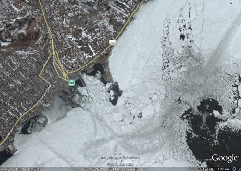
Instead, what I decided to do was integrate two of the new Google Earth 5.0 features into one – I made a ‘tour’ showing the historical images of one of my favorite Google Earth sites, alternating between an ice filled and ice-free Sydney (Nova Scotia) harbour. You can download the .kmz and add it into Google Earth: