Contact the Geospatial Centre
Dana Porter Library, Room 328
University of Waterloo Library
Waterloo, Ontario N2L 3G1
Email: librarygeo@library.uwaterloo.ca

Information resources, both digital and printed, focus on the local area: Kitchener, Waterloo, Region of Waterloo, and adjacent Ontario counties.
The Geospatial Centre has acquired significant data resources including provincial environmental data, nation-wide Canadian street data, and orthoimagery for all of southwestern Ontario.
Valued printed collections include:
Located on the third floor of Dana Porter Library, the Geospatial Centre has Geographic Information System (GIS) computer stations, a colour printer, and a large-format scanner available for use.
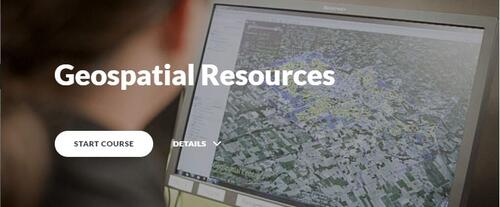
For more information about resources available at the Geospatial Centre, please feel free to go through the module below.