Contact the Geospatial Centre
Dana Porter Library, Room 328
University of Waterloo Library
Waterloo, Ontario N2L 3G1
Email: librarygeo@library.uwaterloo.ca
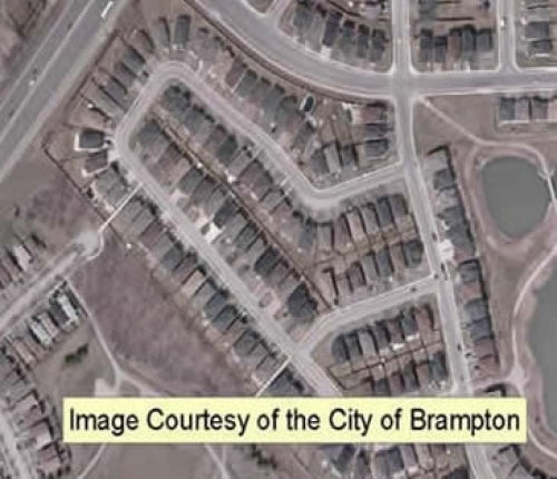
This data resource, consisting of more than 1,300 georeferenced orthoimages, was provided to the Geospatial Centre by the City of Brampton on July 4, 2008. These full colour images were flown in early April 2008 and have 10 cm pixel resolution. Average file size is 3.5 MB.
The city also provided municipal vector data to the library.
These images are available in Universal Transverse Mercator (UTM) zone 17 co-ordinates; horizontal datum is North American Datum (NAD) 83. Images are stored as compressed MrSID images. Other data formats can be accommodated, as the Geospatial Centre has access to a number of conversion utilities.
In order to access these data sets, please visit the Geospatial Centre information desk during reference hours. Library reference staff are available to provide further information about these data sets and to deliver data upon request. Under the terms of the library's license agreement, these data sets are for use by students, faculty, and staff at the University of Waterloo only.
There are public workstations in the Geospatial Centre that provide access to GIS software, program extensions and data manipulation utilities. Patrons may use the Geographic Information System (GIS) software in the library to view and manipulate the data. UWaterloo faculty, students and staff may copy these data to other media (Zip disk or CD-R) for use elsewhere.
These images may be exported from ArcGIS in a choice of bitmapped formats (also known as raster graphics) including JPG, TIFF, GIF, and BMP or in a choice of vector graphics formats including Adobe Illustrator (AI), Encapsulated Postscript (EPS), and Scalable Vector Graphics (SVG). Yet another option is PDF or image may be printed on the library's colour printers.
This resource is provided for academic, research, teaching, and personal use only. A data release agreement must be agreed to before the data is delivered. The City of Brampton should be acknowledged on any derivative product, such as a map or an image.
The City of Brampton Digital Orthophotos [computer file]. Brampton, Ontario: The City of Brampton, [2008].