Julie Friddell
Faculty of Environment
> Director, Canadian Cryospheric Information Network/Polar Data Catalogue
There’s a visceral difference between reading a list of figures that tell you polar ice is melting, and actually watching it disappear.
Julie Friddell, director of the Canadian Cryospheric Information Network (CCIN) and Polar Data Catalogue (PDC), says that’s the reason the PDC has developed a series of animated GIFs to illustrate more than ten years of Antarctic ice loss.
“We want to reach all kinds of people. A visualization is easier to digest than tables and rows of data,” says Friddell.
The Antarctic ice GIFs are part of a larger push to visualize PDC data, says Friddell. “You can have hundreds of rows and columns of numbers, but when you put that information on a map, and then make a little movie of those 500 tables, you make the data more accessible, understandable, usable.”
Ice shelf has lost more than 5000 square kilometres

Satellite images of the Larsen ice shelf in Antarctica. Since 1997 over 5,000 km2 of ice has been lost.
Built using multimillion-dollar satellite images taken by the Canadian Space Agency and the satellite provider MDA in 1997, 2000, and 2008, the Antarctic polar ice GIFs show dramatic losses from significant Antarctic landmarks. The Larsen ice shelf has lost over 5,000 square kilometres of ice, for instance – about the size of Prince Edward Island.
The PDC archives information on a wide range of topics, from changes in snow and ice to information about the plants, animals, and people living in polar regions. The rapid rate of change in the polar regions as a result of climate change means a wealth of research data is constantly being generated. That data needs to be catalogued – and protected.
“We are the people who take care of the data,” says Friddell.
Making data accessible for all people
Researchers make use of the PDC’s data archive. But Friddell emphasizes that a major part of the PDC’s mandate is to make all their data accessible for everyone, especially the people who live in the North.
“A lot of times researchers go into a Northern community, they take a bunch of data, and they write a paper about it, but nobody who lives in that area knows anything about it,” she notes. “Our purpose is also to try to make available information about the Northern regions so that the people living in those regions can know who’s working in their area, and what kind of work is being done, what kind of data is being collected, so they can have access to that data too.”
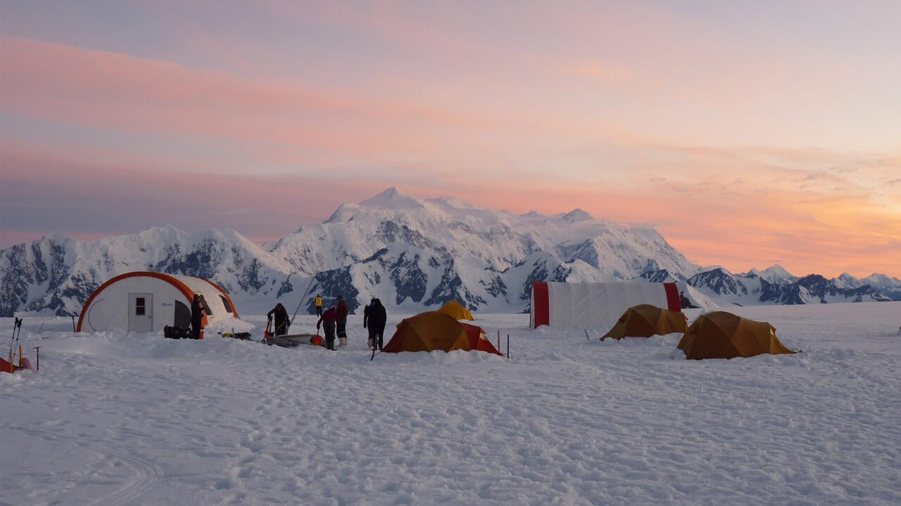
Feature image: Students taking evening field measurements on the St. Elias Icefield, Yukon, with Mt. Logan in the background. Photo credit: Luke Copland