Photo credit: Matthew Henry on Burst
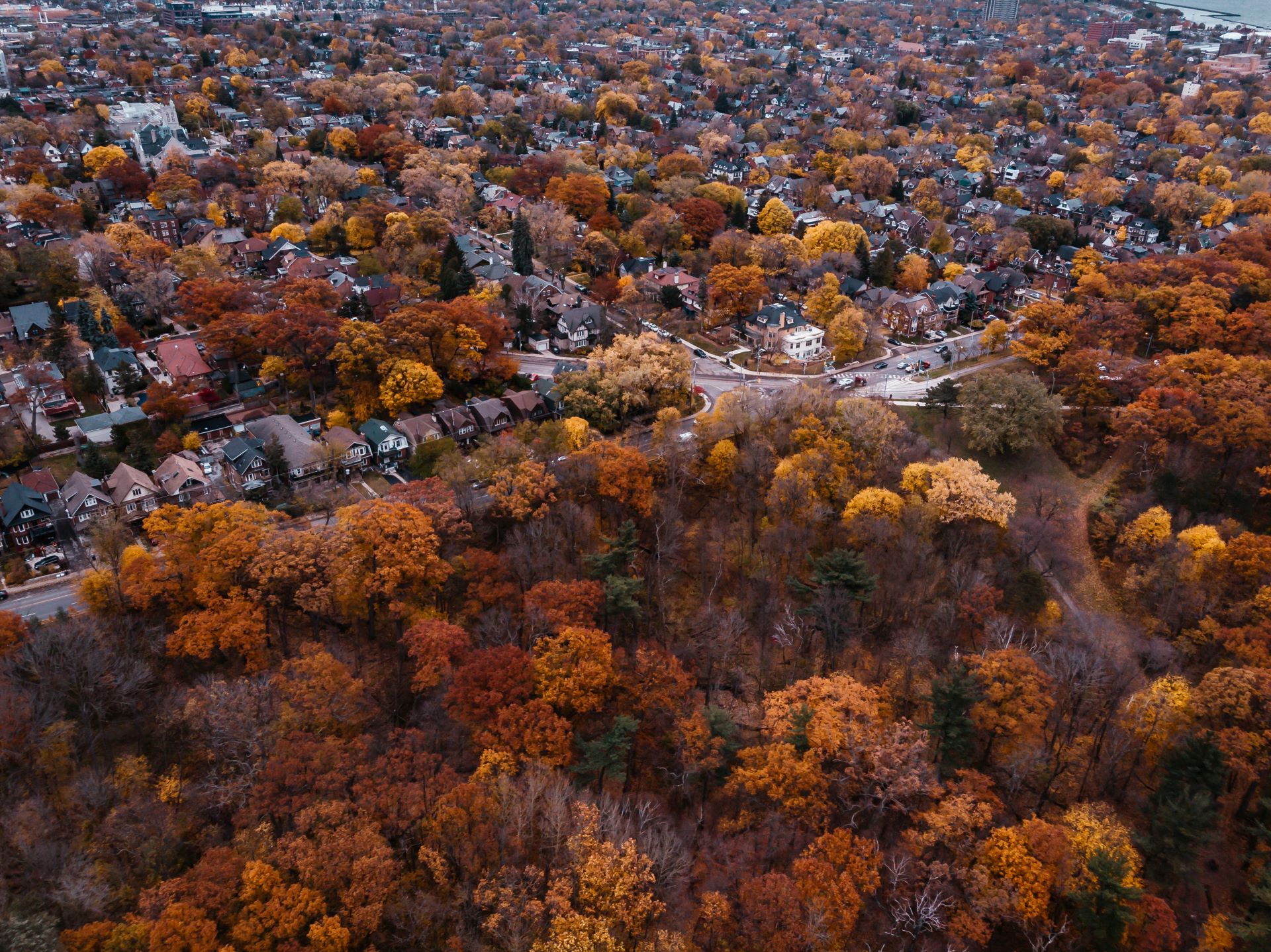
In this activity, we will generate novel estimates of carbon storage at parcel and site-plan scales using very-high resolution remotely piloted aircraft (drones) to calculate terrestrial carbon, to be used in the RISE Scorecard.
There is currently a lack of research around the quantity and location of natural land covers within Settlement areas in Canada, particularly using remote sensing classification. Additionally, there is a lack of carbon sampling in these same Settlement areas and no known efforts in Canada; with even less research across different types of developments within Settlement areas. Previous research has shown that land carbon storage can change over time; however, few countries, including Canada, report these carbon fluxes for Settlement areas within their national reporting on land use and land use change.
We will seek to determine the distribution of carbon stored among different vegetation communities and how it varies within and between different development types; and, what is the relative accuracy of remotely piloted aircraft (drone) measurements of carbon storage relative to field-based measurements.