Photo credit: BradyP on Pixabay
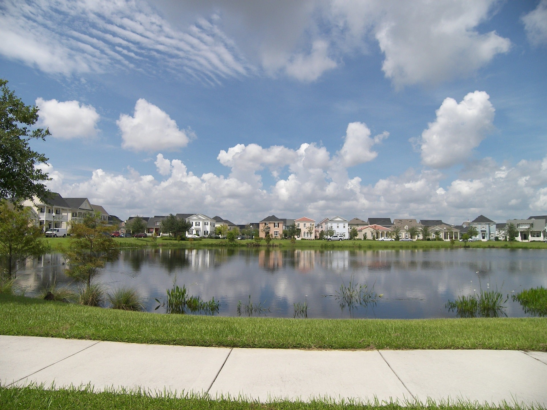
In this activity, we will measure and model different components of the urban water landscape (e.g. stormwater management ponds, vegetation, wetlands, etc.) in residential developments to analyze carbon and greenhouse gas storage and emissions in terrestrial and aquatic environments, to be used in the RISE Scorecard.
Currently, most stormwater management does not take into account the benefits of terrestrial vegetation or trees even though their inclusion in site designs would have significant benefits for the sequestration of greenhouse gas (GHG) emissions. The same is true for ponds, wetlands and aquatic vegetation, where they could have an impact on GHG processes and are similarly not considered in stormwater design.
Through site-scale stormwater monitoring and modelling, we will aim to better capture water availability for urban trees, vegetation and wetlands, linking with work being done in Activity 4 and Activity 6. We will investigate how stormwater can be used as a resource to target GHG sequestration in urban developments, and explore what are the most robust ways to account for improvements in stormwater design and management that can support a green development scoring system.