To perform detailed 3D mapping of the Energy Research Centre Building using UAV-mounted LiDAR and RGB imaging for envelope performance analysis
Technology & Design
New Frontiers in Research Fund (NFRF)
Description
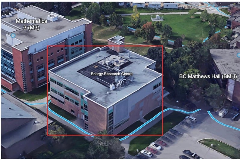
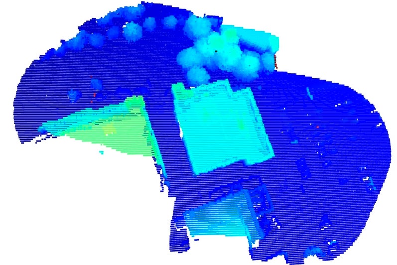
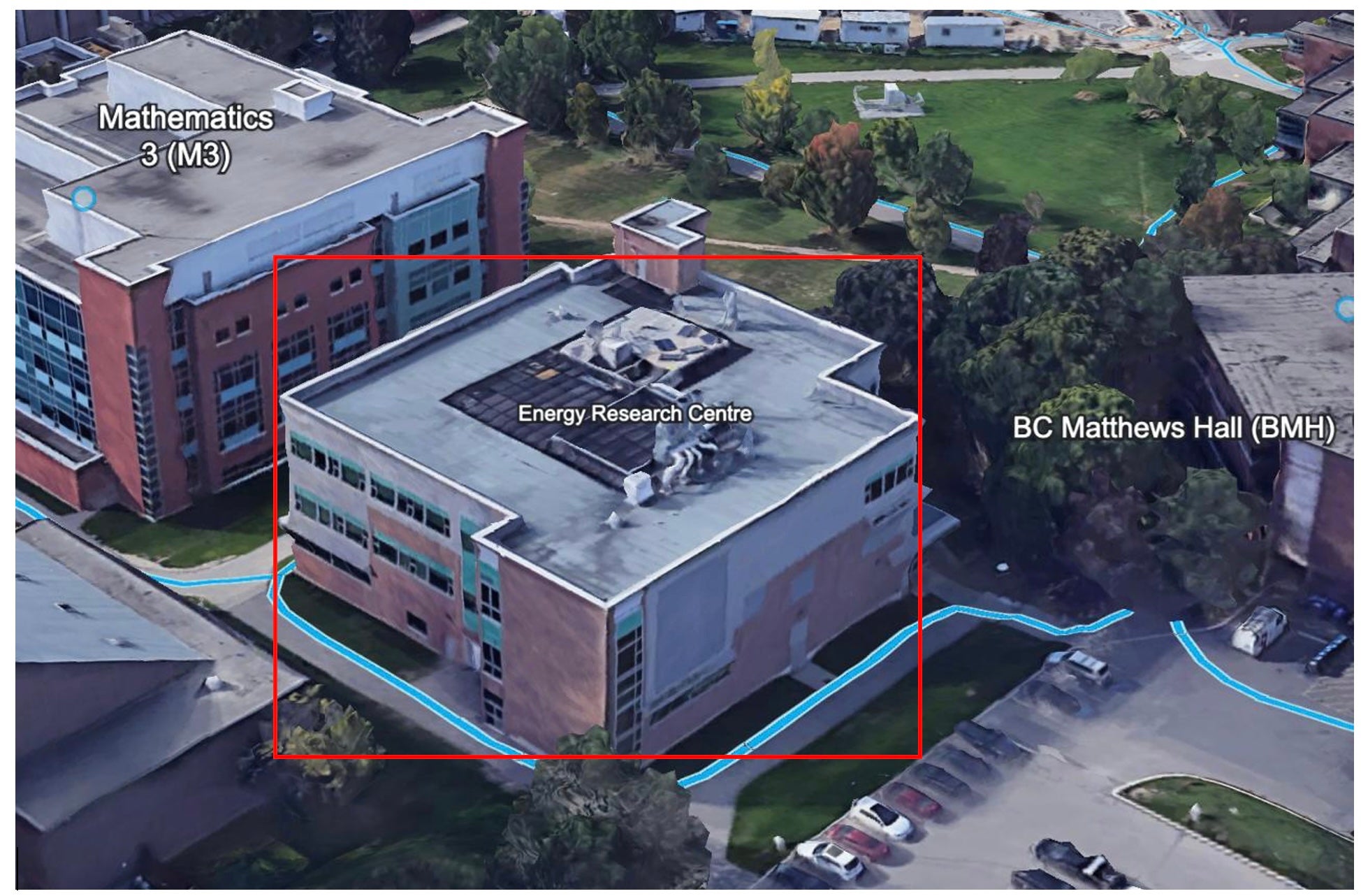
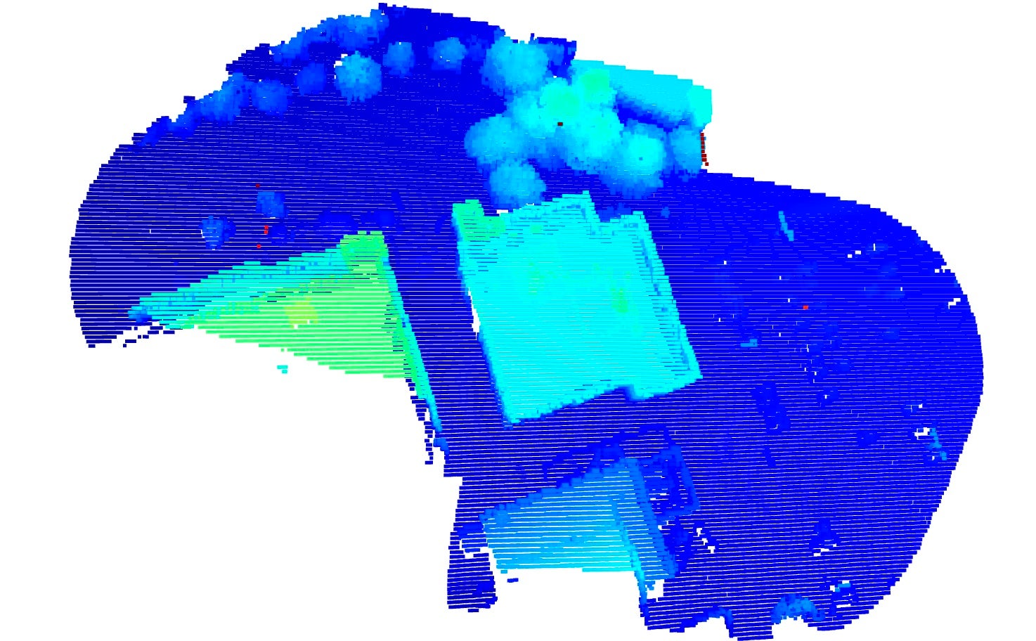
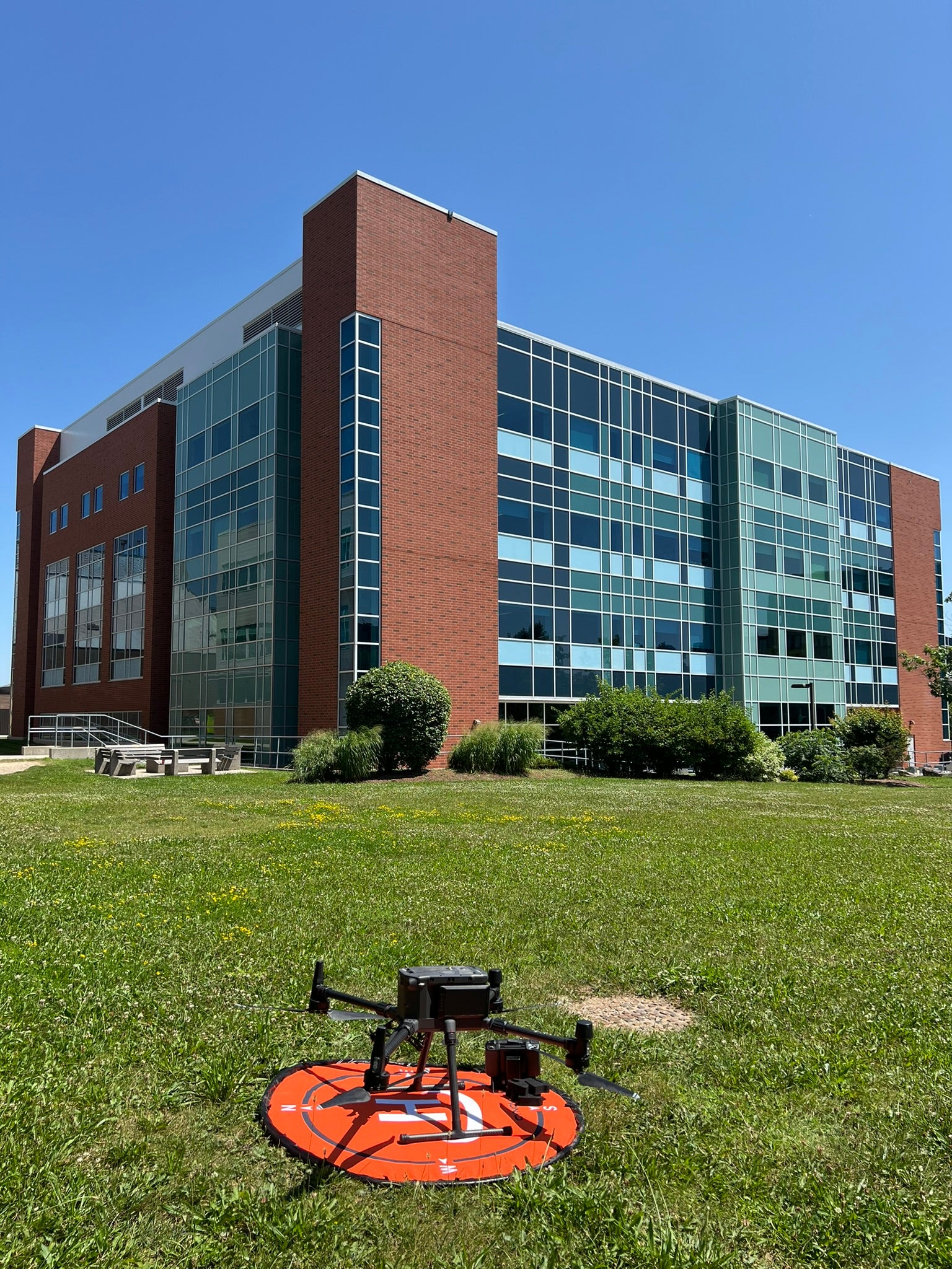
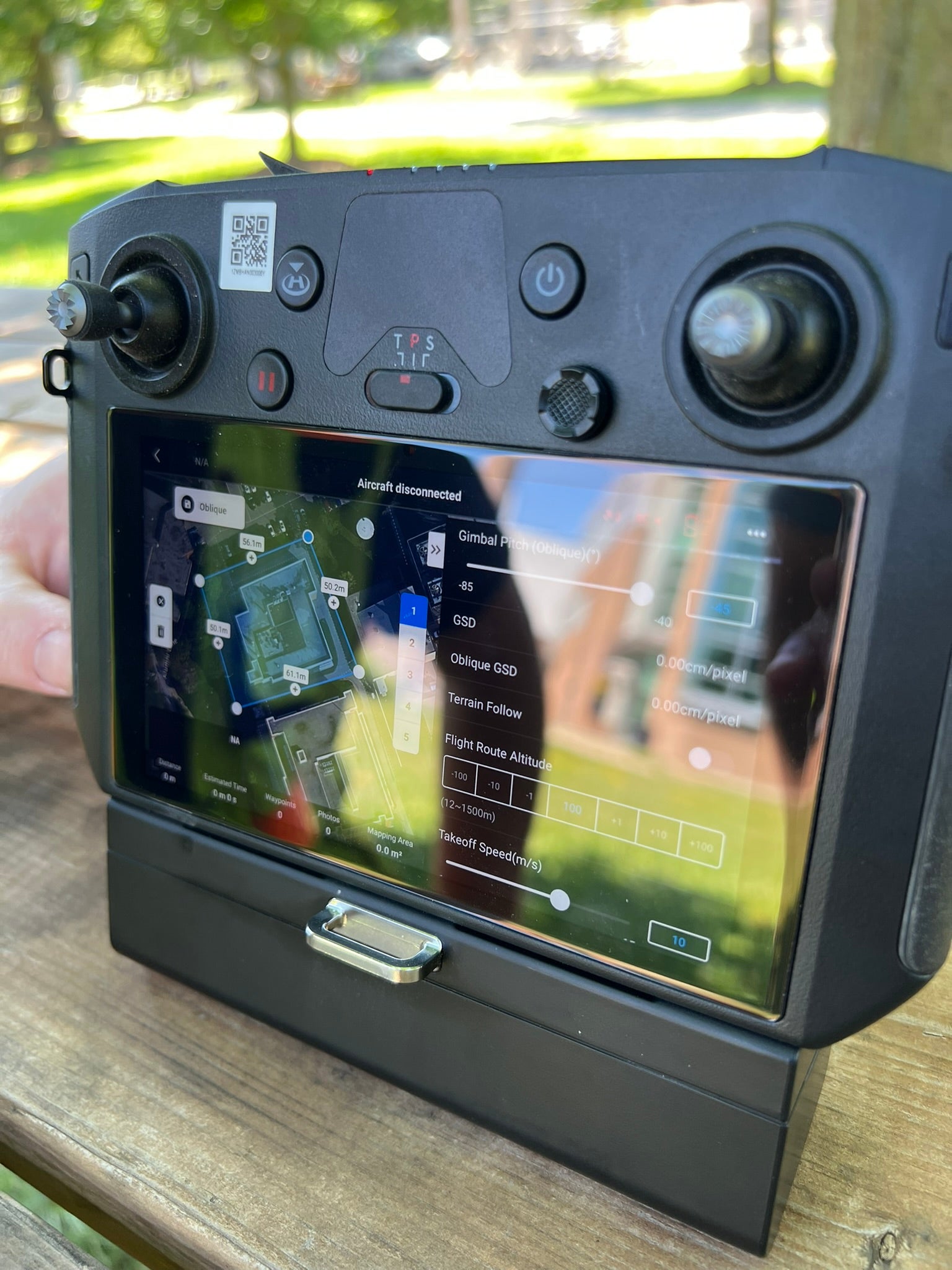
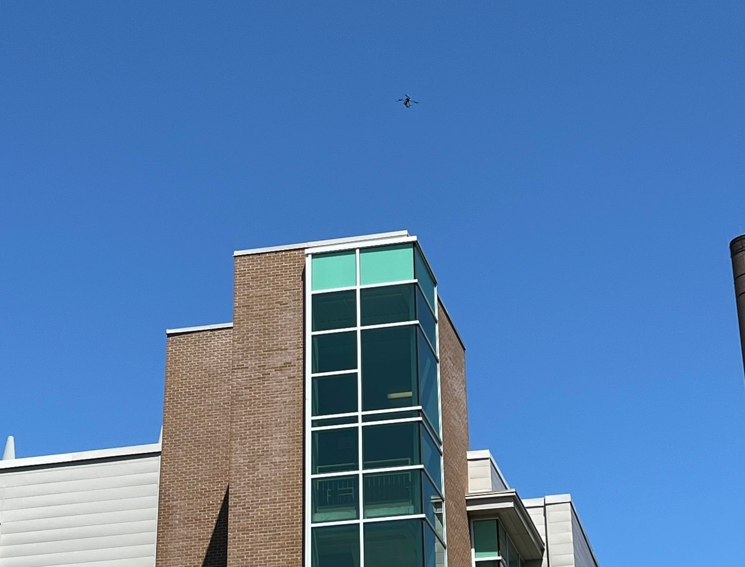
The Energy Research Centre Building at the University of Waterloo was selected for its complex architectural features and its relevance to ongoing research projects. Prior to the flight, specific waypoints were defined using mission planning software. These waypoints were chosen to optimize the flight path, ensuring that the UAV captured all necessary angles and coverage of the building’s façade and roof. The UAV, a DJI Matrice 300K, equipped with a LiDAR module, was deployed to conduct the flight. The LiDAR module used was the Zenmuse L1, which integrates a high-accuracy IMU and a visible light RGB camera for generating detailed 3D models. The Zenmuse L1 emitted laser pulses towards the building, capturing accurate distance measurements to create a detailed 3D point cloud of the structure. This high-density data was used to map the surface geometry, identifying any structural details and variations in the building envelope.
