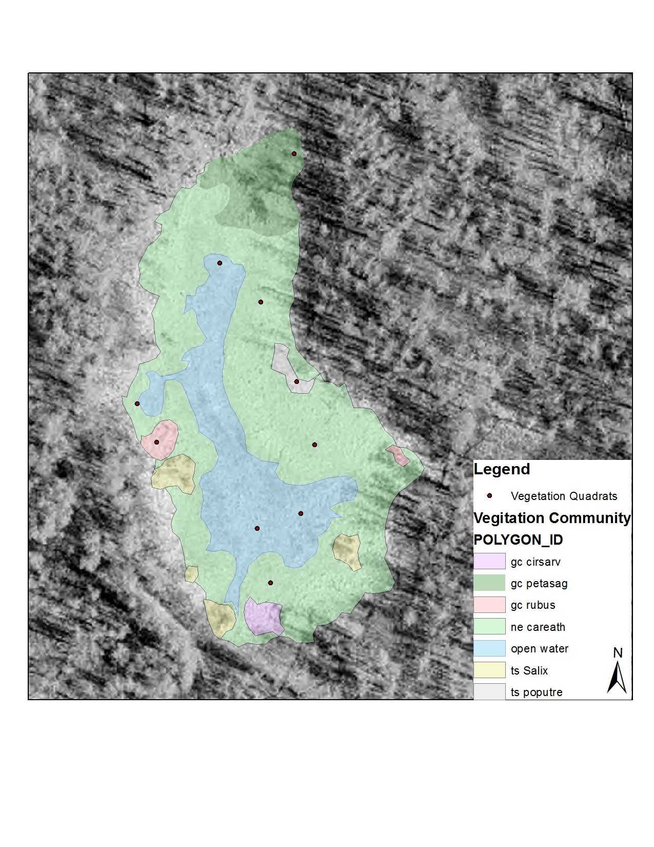
Fancy new GPS tool creates highly detailed vegetation maps
Tuesday, September 17, 2013
The
Rooney
Lab
recently
acquired
a
neat
new
tool:
a
GPS
unit
with
sub-meter
real
time
accuracy.
This
device
lets
us
map
the
distribution
of
different
vegetation
communities
in
the
field.
Back
in
the
lab,
we
can
tie
those
distribution
patterns
to
different
environmental
variables
and
examine
aspects
of
the
shape
and
spatial
arrangement
of
vegetation
community
patches.
We
hope
to
use
this
information
to
characterize
what
a
healthy,
natural
wetland
looks
like,
and
then
to
use
that
characterization
as
a
model
for
restored
or
reclaimed
wetlands.
This
is
called
the
reference
condition
approach,
where
healthy
natural
wetlands
serve
as
the
reference
for
constructed
or
restored
ones.