Contact the Geospatial Centre
Dana Porter Library, Room 328
University of Waterloo Library
Waterloo, Ontario N2L 3G1
Email: librarygeo@library.uwaterloo.ca
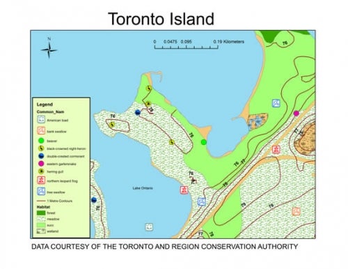
Since its formation in 1957, the Toronto and Region Conservation Authority (TRCA) has been delivering programs for the management and protection of the watersheds within its jurisdiction.
In April 2008 and March 2014 the Geospatial Centre received vector datasets from the TRCA which cover the municipalities of Toronto, Vaughan, Richmond Hill, Markham, Pickering, Ajax and parts of Uxbridge, Whitchurch-Stouville, Aurora, King, Caledon, Brampton and Mississauga. The fauna and flora layers are very rich in detail. Current data is available from teh TRCA Open Data site.
The datasets provided to the Geospatial Centre include:
These data sets are available in Universal Transverse Mercator (UTM). zone 17 co-ordinates; horizontal datum is North American Datum (NAD) 83. These data are stored as Esri shapefiles. Other data formats can be accommodated, as the Geospatial Centre has access to a number of conversion utilities.
To request this data, please fill out the Ask-Us form and include which layers (shapefiles) you are interested in obtaining. The dataset will be shared with you via OneDrive upon completion of the data release agreement form. You may also make an in-person appointment using the same form.
These data are provided for personal use for academic, research, and/or teaching purposes. A data release agreement must be agreed to before these licensed data can be released. Toronto and Region Conservation Authority must be acknowledged on any derivative product, whether printed or electronic, including for example, a printed map, a raster or vector graphic, a web-based application, etc. Patrons are advised to fully respect the provisions of Canada's Copyright Act as well as terms and conditions imposed by the data provider.
Toronto and Region Conservation Authority Environmental Data [2021 computer file], Toronto and Region Conservation Authority.