Contact the Geospatial Centre
Dana Porter Library, Room 328
University of Waterloo Library
Waterloo, Ontario N2L 3G1
Email: librarygeo@library.uwaterloo.ca
This data resource shows detailed features on the University of Waterloo campus, for example, building footprints, roads and pathways, contours, drainage, vegetation and more. A sample of what is available is listed below. These data layers are current to 2020.
This dataset is available in Universal Transverse Mercator (UTM) coordinates; horizontal datum is North American Datum (NAD) 83. These data are stored as AutoCAD drawing files .DWG as well as Environment Systems Research Institute (Esri) shapefiles.
In order to access this data set, please visit the Geospatial Centre reference desk during reference hours. Library reference staff are available to provide further information about these data sets and to deliver data upon request.
This material is provided for academic, research, teaching, and personal use only. The University of Waterloo should be acknowledged on any derivative product, such as a map or an image.
The University of Waterloo [computer file]. Waterloo, Ontario: University of Waterloo Plant Operations, [2020].
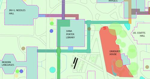
South-Central UWaterloo campus


