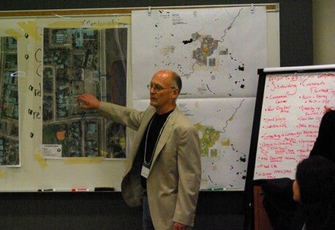
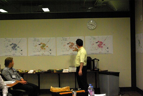
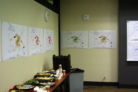
Part of the motivation for building the Atlas of Suburbanisms online is an explicit desire to see the use of academic research in applied settings. We’re thus excited to see that a team from the City-Region Studies Centre (CRSC) at the University of Alberta recently made use of our Edmonton maps as part of an urban design charette.
Known as Strip Appeal, the project forms part of a larger competition wherein urban designers and professional planners think about ways in which the classic suburban strip mall can be remade. Facilitated by Rob Shields (a co-investigator in the larger Global Suburbanisms project) and Merle Patchett, the CRSC team used our mobility, diversity and housing maps of Edmonton to provide the socio-economic context within which several example strip malls existed in Edmonton.
More details of the June 21st design charette can be found at their main website: Strip Appeal. Photos are from the design charette Flickr set.


