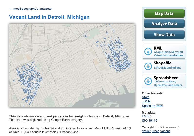
I’m pleased to announce that a student project, started during the winter 2010 semester when I instructed Socioeconomic Applications of geographic information system (GIS) at McGill University, has recently been published in volume 23, no. 2 of the journal of the Urban and Regional Information Systems Association (URISA Journal). This paper, titled “Neogeographic tools to create open-access data: mapping vacant land parcels in Detroit”, co-authored with two McGill Geography undergraduates, Nora Belblidia and Stefan Campbell, demonstrates a "do-it-yourself" approach to the creation of geospatial data that may otherwise be unavailable or inaccessible.

Using a manual digitizing approach, we show how Google Earth can be used to provide a base map for visual interpretation of landscape features. The digitizing tools that are part of Google Earth allow for the rapid creation of new data, which can then be shared or used for a variety of purposes. We decided to make our visual interpretation of vacant land parcels available for others using the geospatial data sharing service Geocommons. Read the URISA Journal.