Agenda
1:00 - 1:30 pm
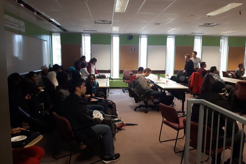
Geospatial Centre Open House - LIB 328
1:30 - 2:00 pm
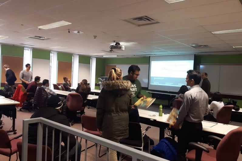
Lightning Talks - Flex Lab (LIB 329)
- Natalia Moudrak - Climate Change and Floods - GIS Illuminates Adaptation Pathway
- Jaydeep Mistry - ECCE App Challenge 2017: Urth Routes
- Julie Friddell - RADARSAT Images of the Changing North - Satellite Data for your Climate Research
- Kieran Hillier - University of Waterloo Geospatial Club
- Mieszko Fydrych - Building a Web Mapping Application to find Optimal Student Housing Locations
- Juan Carrillo - Using Drones and GIS in the Electric Power industry
2:00 - 3:00 pm
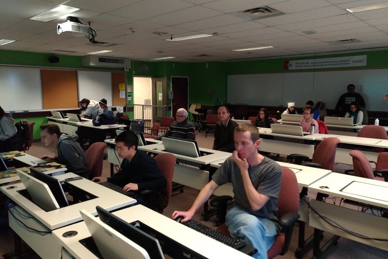
OpenStreetMap Workshop - Flex Lab (LIB 329)
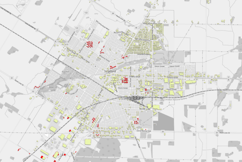
The University of Waterloo is taking part in Building Canada 2020, a community-led initiative to map all buildings in Canada on OpenStreetMap by the year 2020. During GIS Day, our local mapathon focused on mapping buildings in Stratford, Ontario. Together we mapped more than 200 buildings in under an hour!