The Waterloo Civic Map Lab is a research team focused on how geospatial technologies and data are used to meet the needs of community, government, and civic organizations. Student researchers at all levels (undergraduate, graduate, post-doctoral) work to create applied and theoretical research that matters - understanding the challenges, benefits, and issues created by civic technologies.
The Waterloo Civic Map Lab is led by Dr. Peter Johnson, in the Department of Geography and Environmental Management (GEM). Recent projects focus on understanding the value of government open data, the integration of volunteered geographic information in government, and citizen participation in smart city projects.
If you are interested in joining us, please take a look at the topics we research, recent blog posts, and these instructions to prospective students.
Blog
Strava Metro Data as an Urban Planning Input: Seizing Opportunities and Managing Limitations
Over the past year, I've had two publications come out that investigate how municipal planners can use data from the fitness tracking application Strava within active transportation planning contexts. This has been a really fun project to work on, and one where I've gotten to hear directly from planners about how novel data sources can impact their work. I'm grateful to my colleague Dr. Pamela Robinson, from the School of Urban and Regional Planning at Toronto Metropolitan University for our collaboration on this project, as well as key efforts from students Madison Vernooy and Leorah Klein. Two publications have resulted from this work:
and
Both articles are available from the links as open-access, so check them out! Though there are still issues with applying Strava data in some contexts, I was impressed with the generally cautious approach that municipal planners were taking to adopting this data, and the findings point to some unique application areas for this data source. More to come!
Digital public participation: The complicated ways that technology platforms both help and challenge planners
Recent contribution from Dr. Peter Johnson to the Ontario Professional Planners Institute professional publication Y Magazine. Lead by Dr. Pamela Robinson and Morgan Boyco, this article addresses how participatory technology intervenes in the process of citizen engagement in planning. Given the broad adoption of digital platforms, how do planners wrestle with the challenges and constraints of this technology? Check out the full article starting on page 29.

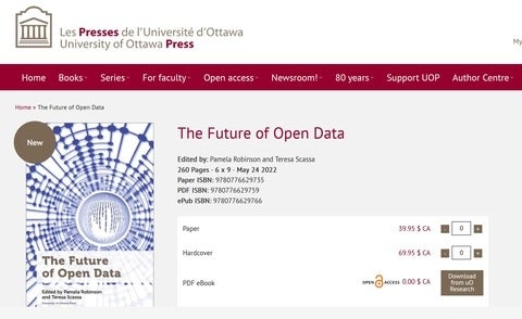
New publication: Future of Open Data
I am pleased to announce that a recent book chapter, co-authored with co-op student Christine Varga, has recently been published in the edited volume "The Future of Open Data", edited by Teresa Scassa and Pamela Robinson (University of Ottawa Press). Our chapter investigates the barriers and challenges to the use of open data by private sector companies, including start-ups in the Waterloo/Kitchener-Toronto tech corridor. I am grateful to SSHRC and the Geothink Partnership Grant for providing funding for this work.