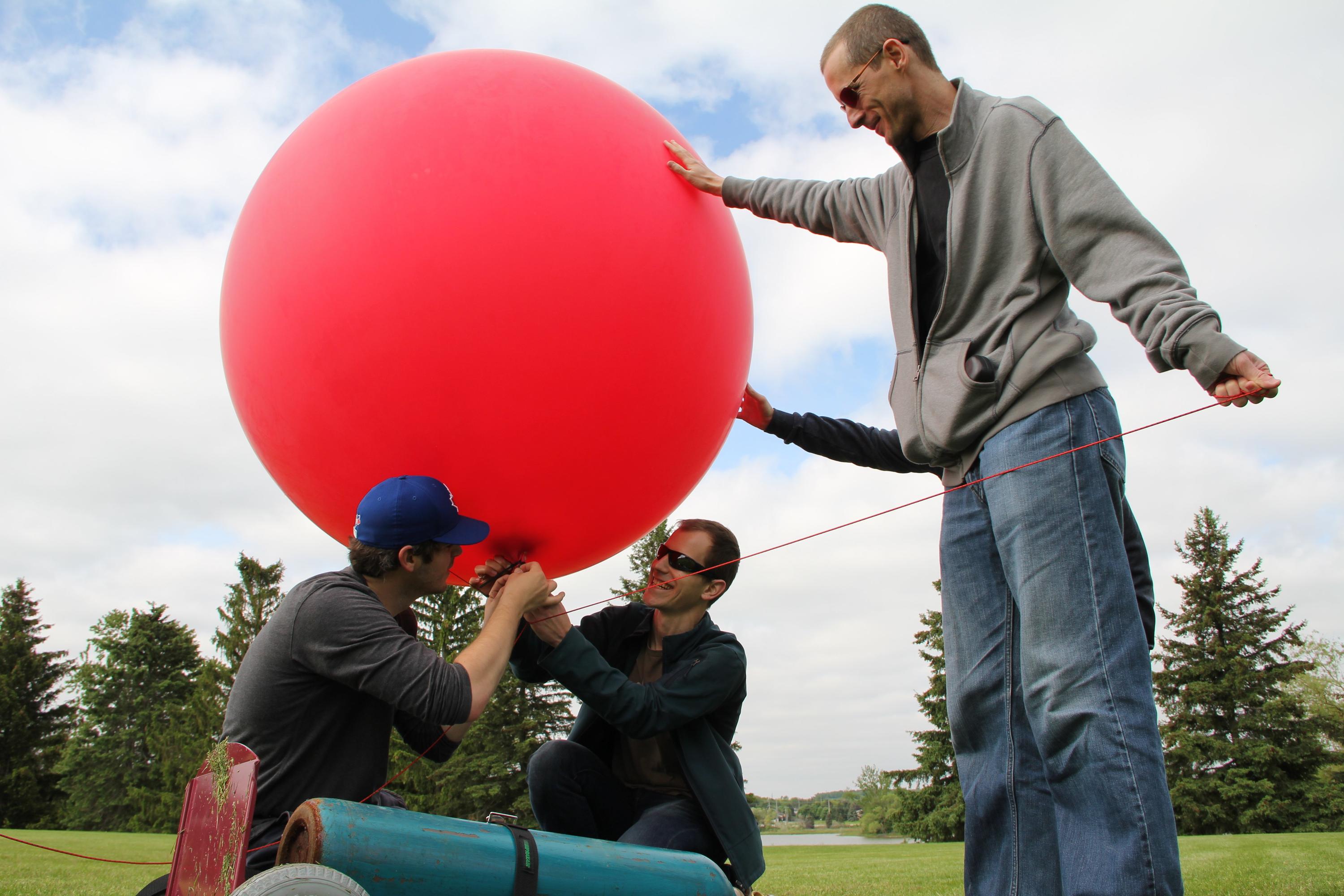
It’s no secret – I’ve got a real love for do-it-yourself (DIY) and small-scale data collection methods. Ever since I first heard about the Public Lab of Open Technology and Science (PLOTS, or simply ‘Public Lab’) balloon mapping techniques applied during the Gulf Oil Spill, I really wanted to give it a try. After reading about the experience of some friends and colleagues with balloon mapping in Vancouver, I decided to purchase a balloon kit with the idea of testing it out for a new ‘hands-on’ first-year course in our Geomatics program (GEOG 187: Problem Solving in Geomatics). After a somewhat lengthy ordeal sourcing a helium tank, I got together with my research assistant Grant and some willing helpers from the Faculty of Environment Mapping, Analysis, and Design team (thanks Scott, James, Mike, and Collin). We waited for a clear, not-so-windy day, and headed off to the Columbia Lake playing fields, on the uWaterloo campus to test the balloon ourselves. Here is the photo-journal description of our morning, with big thanks to Collin from Mapping, Analysis & Design (MAD) for the awesome photos.
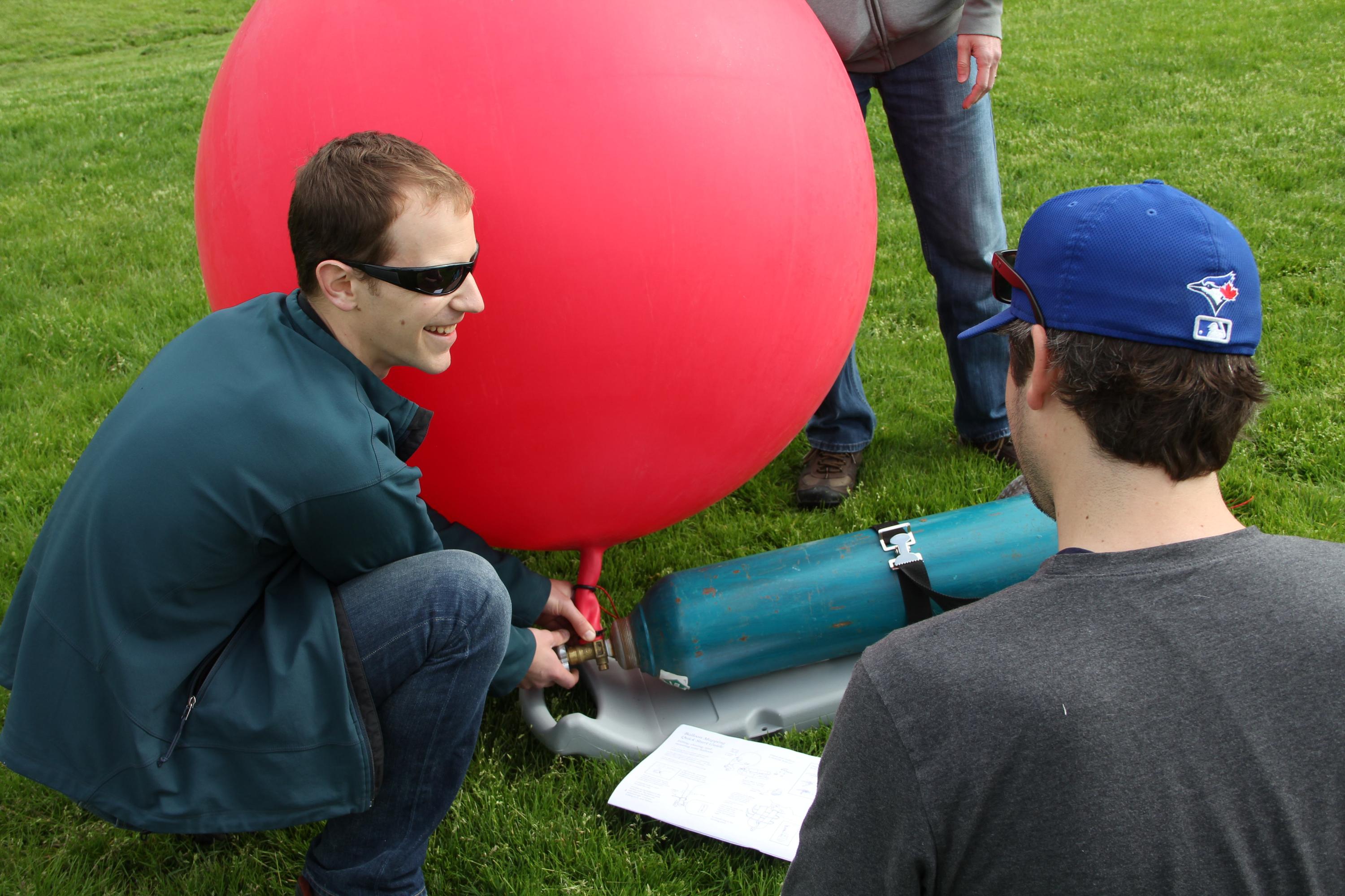
The balloon – not even close to being filled. And just for your information (FYI) for others interested in doing this – you don’t need a regulator on the helium tank, though of course we had no idea how much helium we were putting into the balloon.
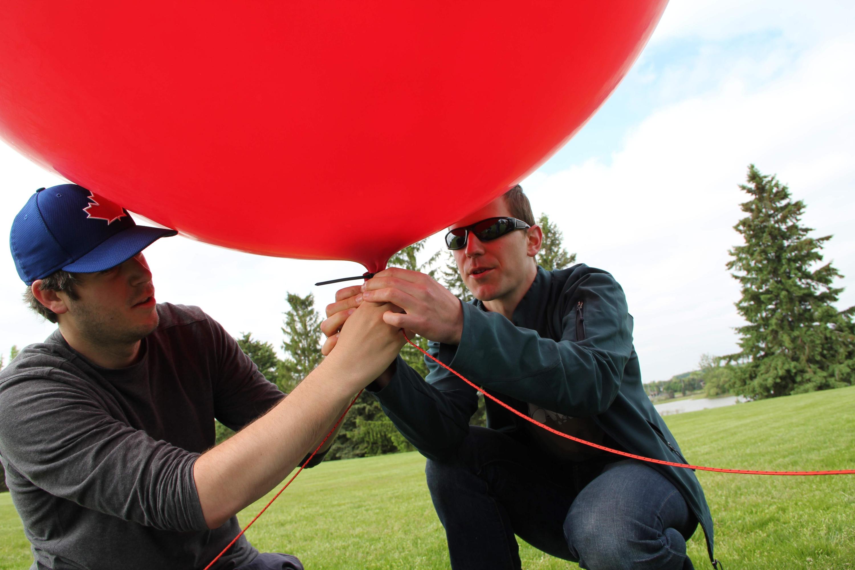
Closing off the stem of the balloon with a set of zipties (subtitle to this picture is – “Do you have it? Do YOU have it?”)
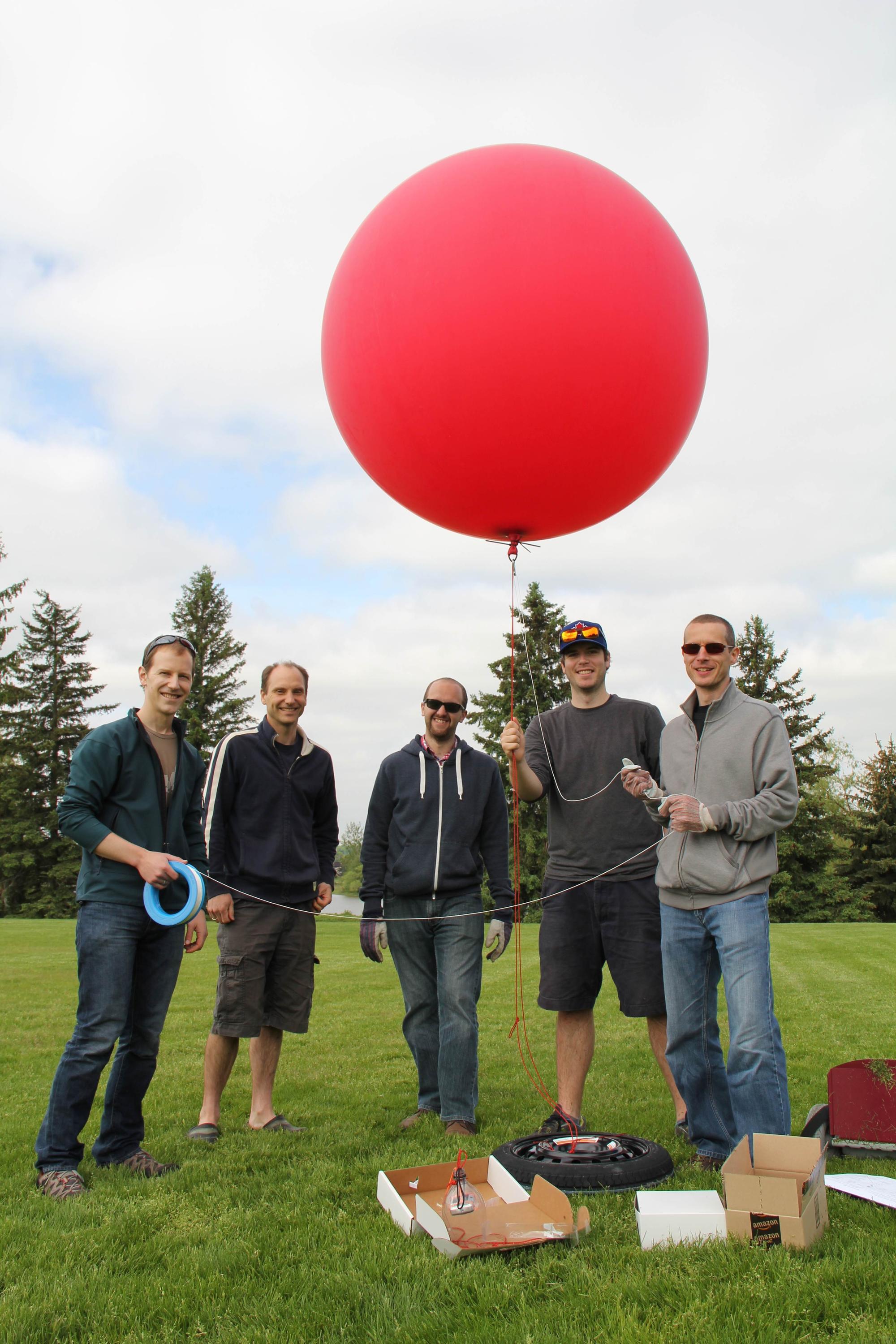
Alright, now we are talking! Balloon is all inflated and tethered to the spare tire from my car. Nice group shot, gentlemen!
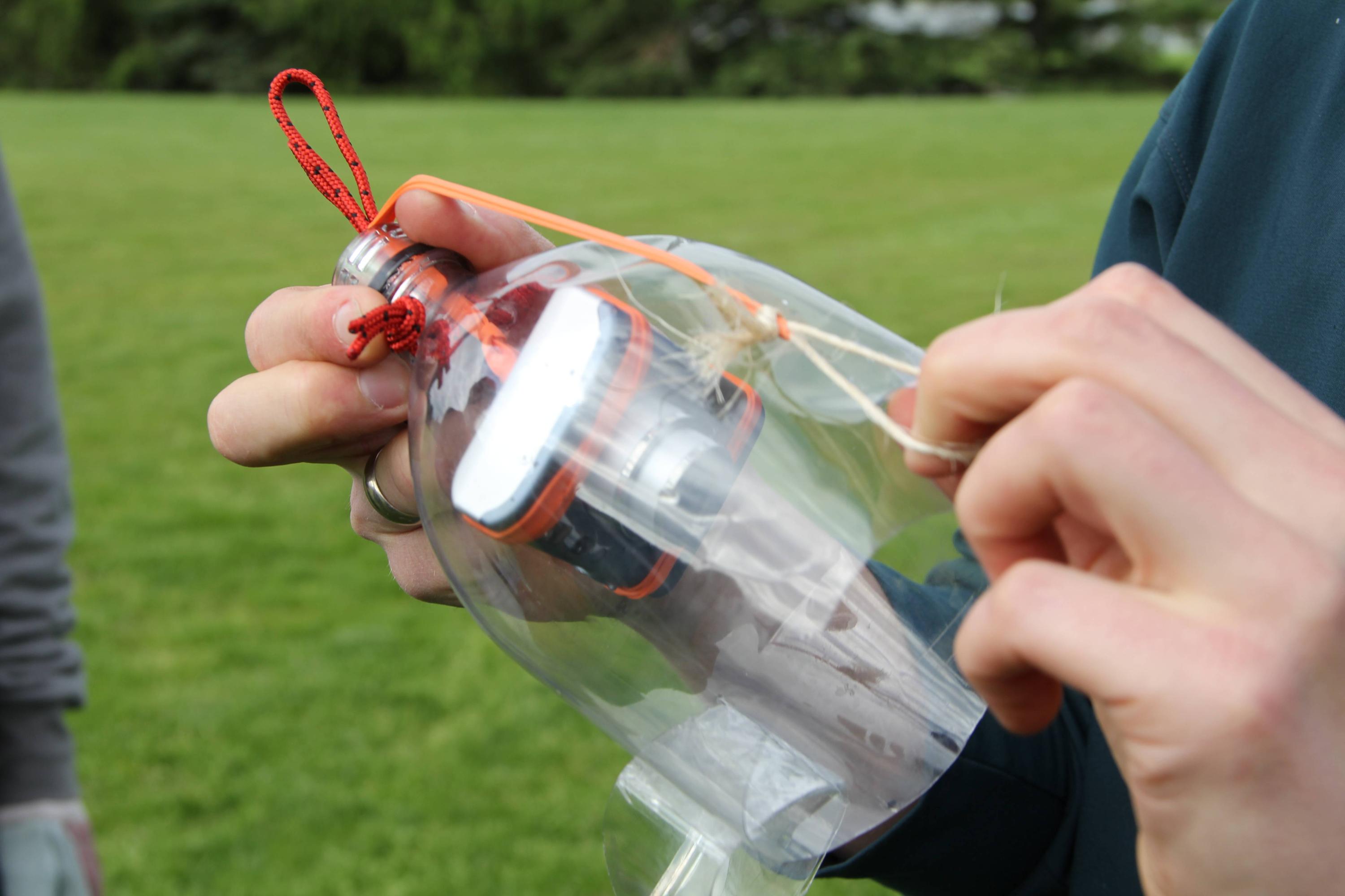
With my compact camera (hacked via Canon Hack Development Kit (CHDK) to take pictures every 10 seconds) attached to a ‘custom made’ pop bottle crash cage (thanks Grant, for your excellent craftsmanship on this one), and the PLOTS balloon harness clip system, we were ready to go.
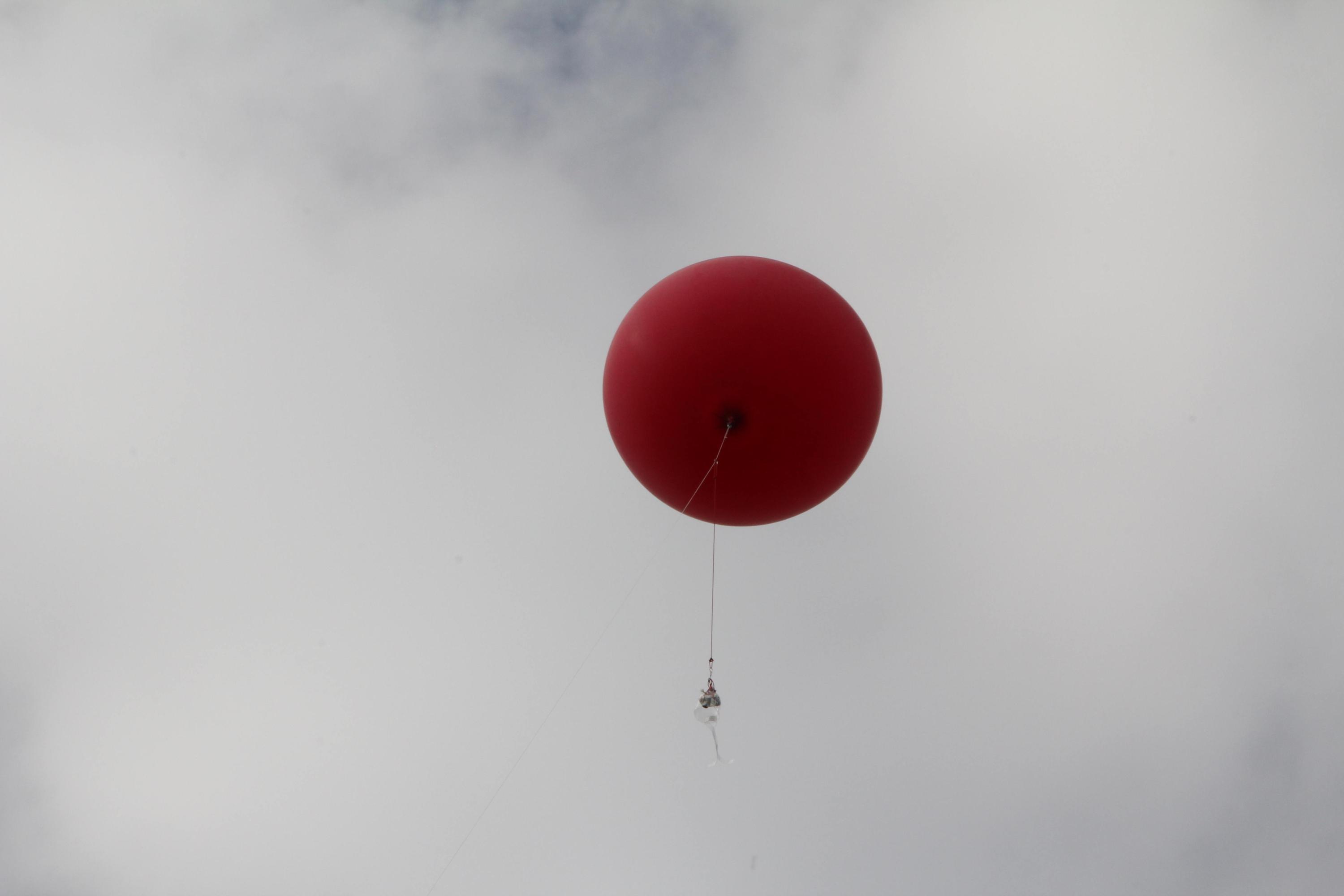
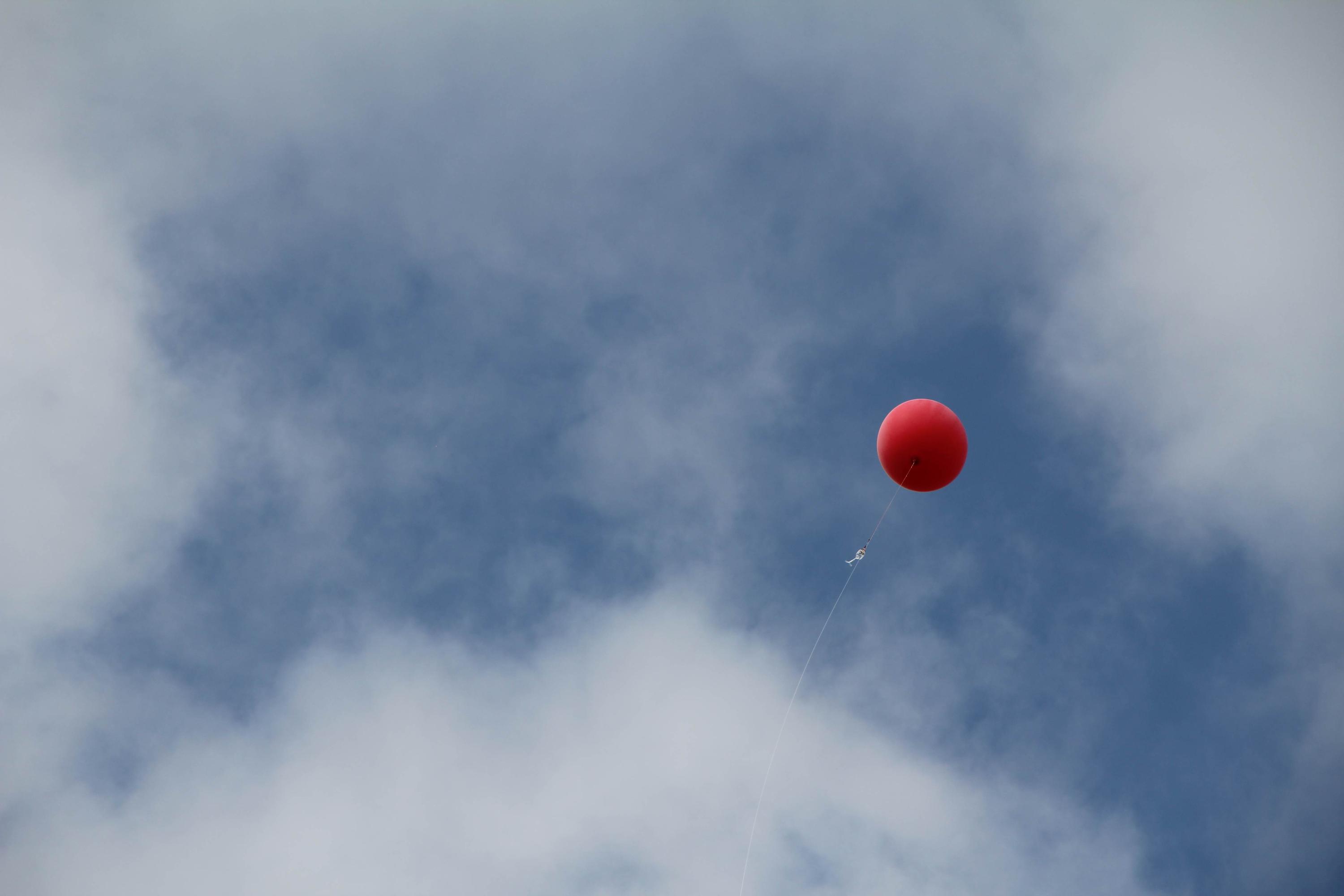
And we're off!
Lots of mad flailing about by the camera rig at this point (hopefully it smooths out at altitude?). Around now is probably when the camera slipped, which resulted in a sliver of the harness obscuring the photos.
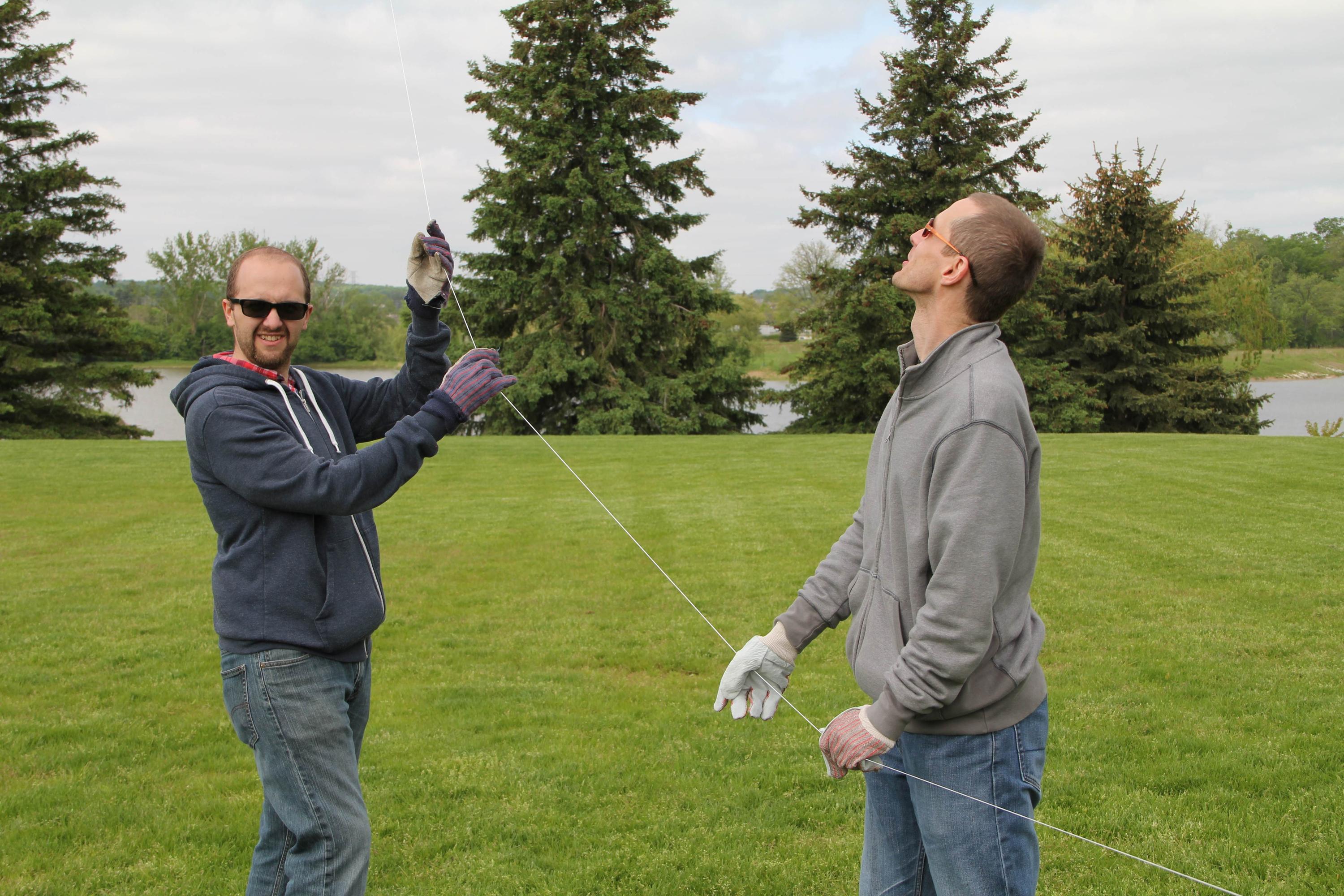
James and Mike doing the real hard work here – controlling the balloon while Scott lets out line.
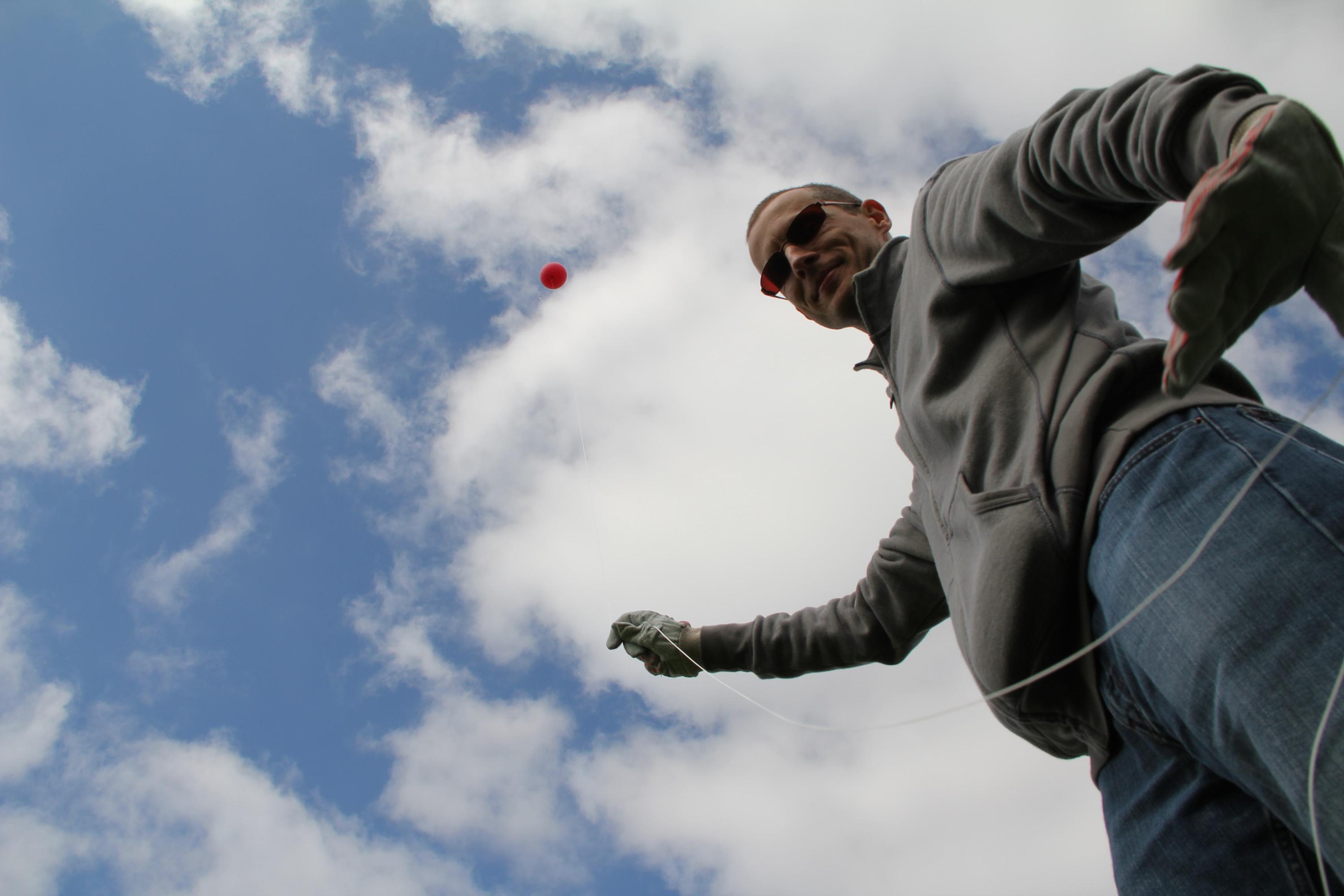
Mike with some solid linesmanship here.
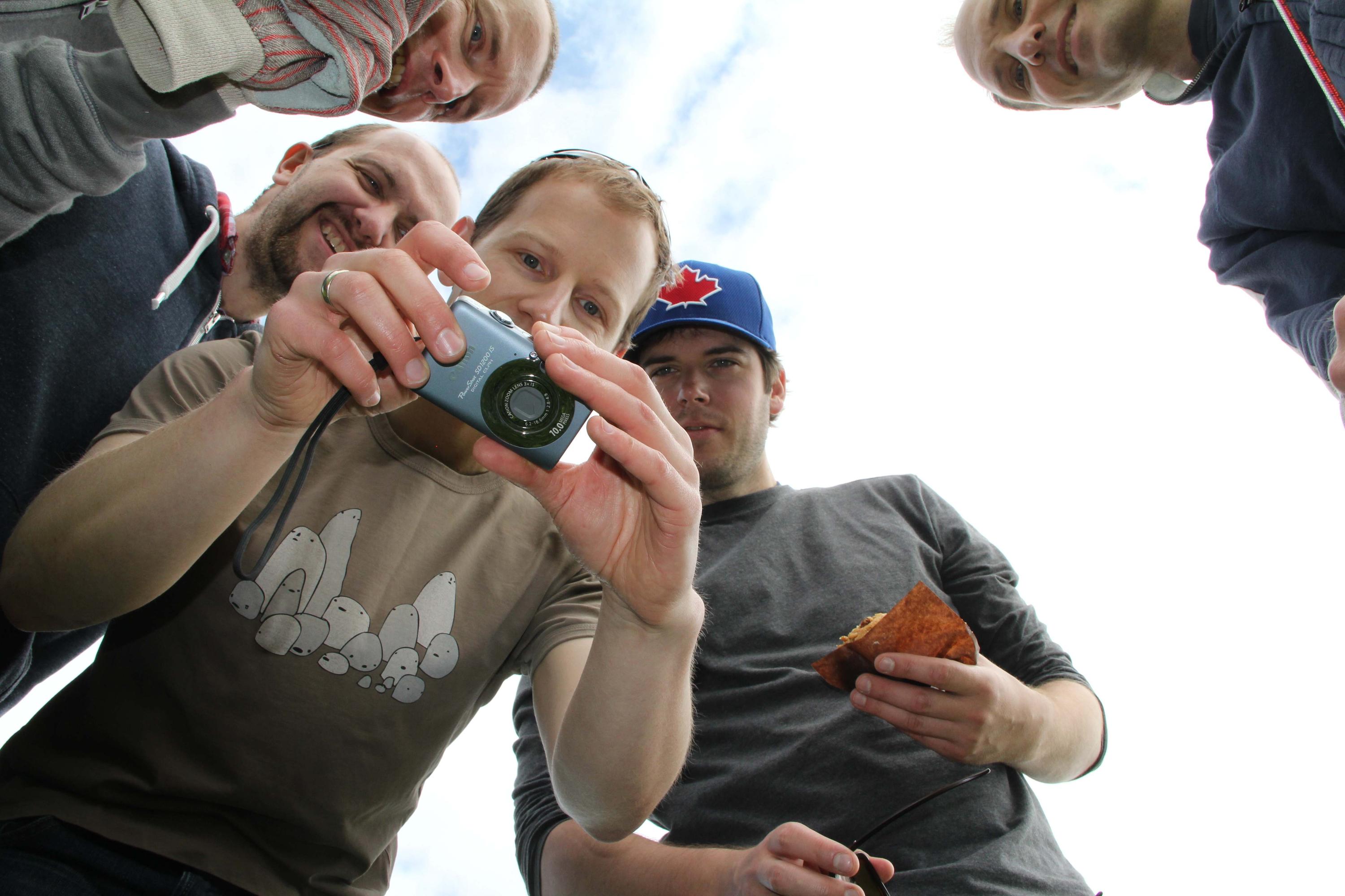
We had the balloon up for about 45 minutes, walked the length of a soccer field with it, and brought it down fairly smoothly. Everyone crowding around to take a look at the photos!
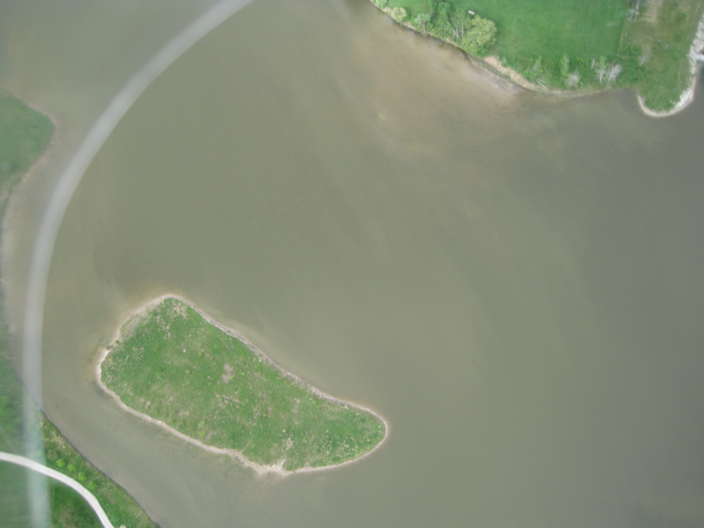
One of the higher altitude photos – showing the centre of Columbia Lake (and the rim of the crash harness pop bottle).
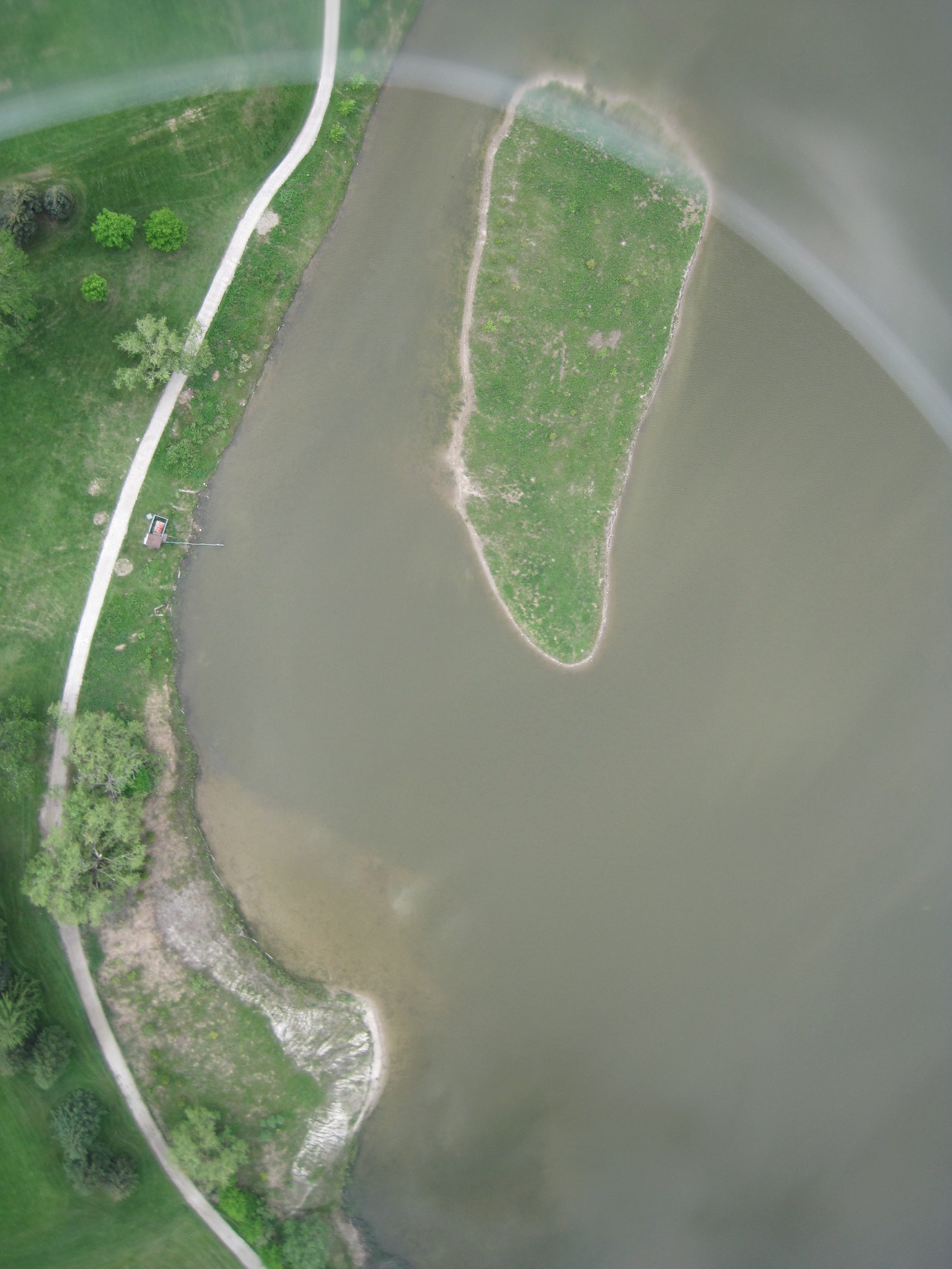
Another one showing the shoreline.
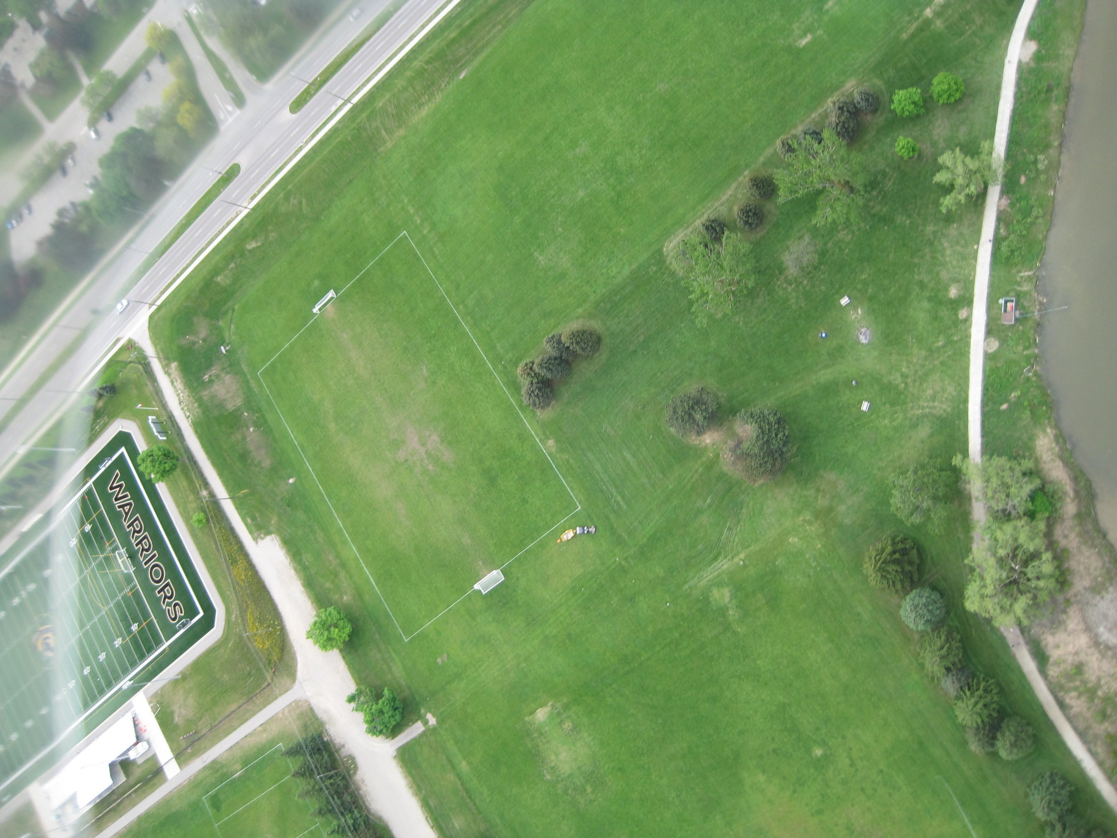
Oblique shot of Warriors field and Columbia Avenue.
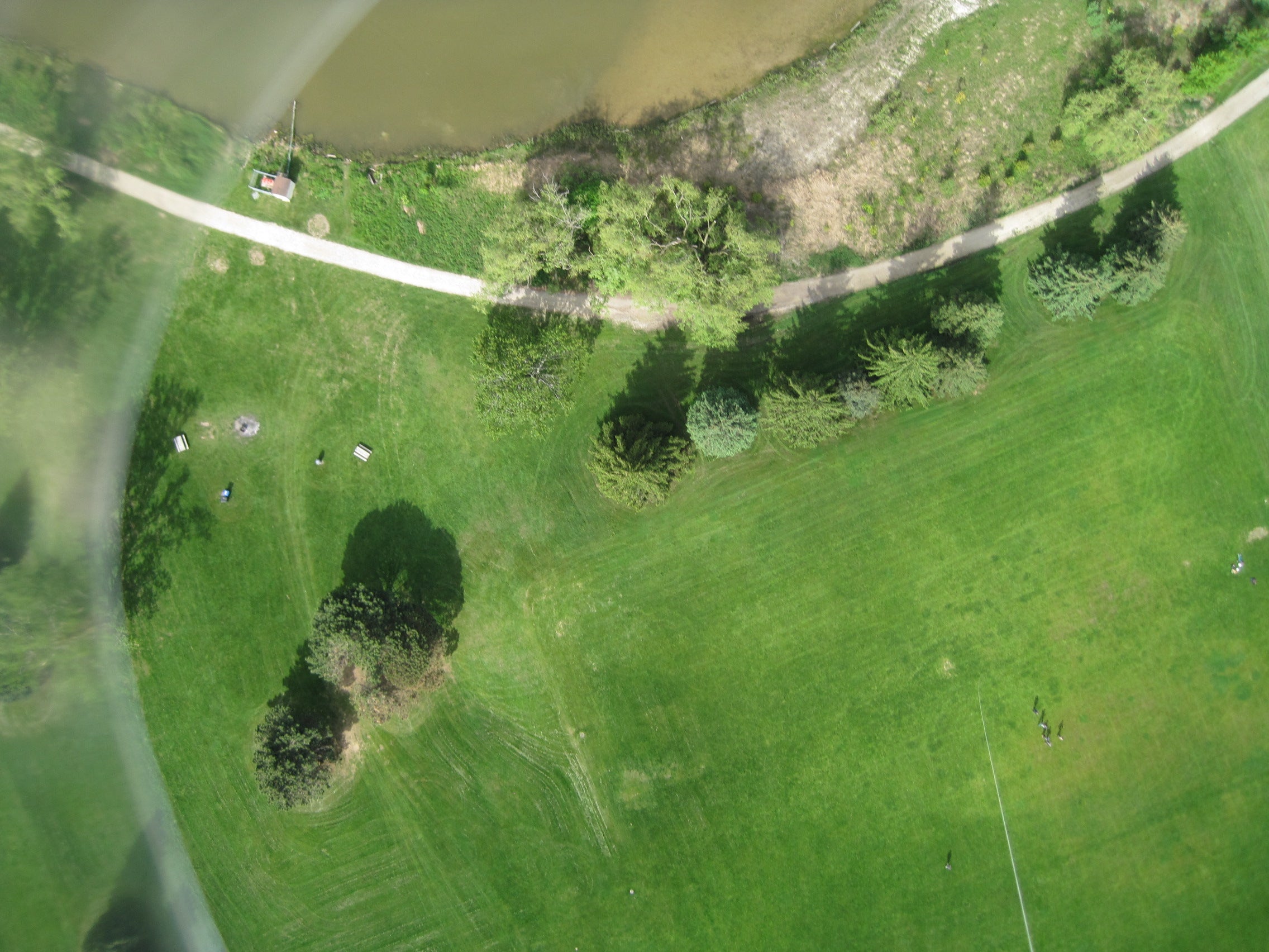
I like this one because it shows the balloon line + us on the ground.
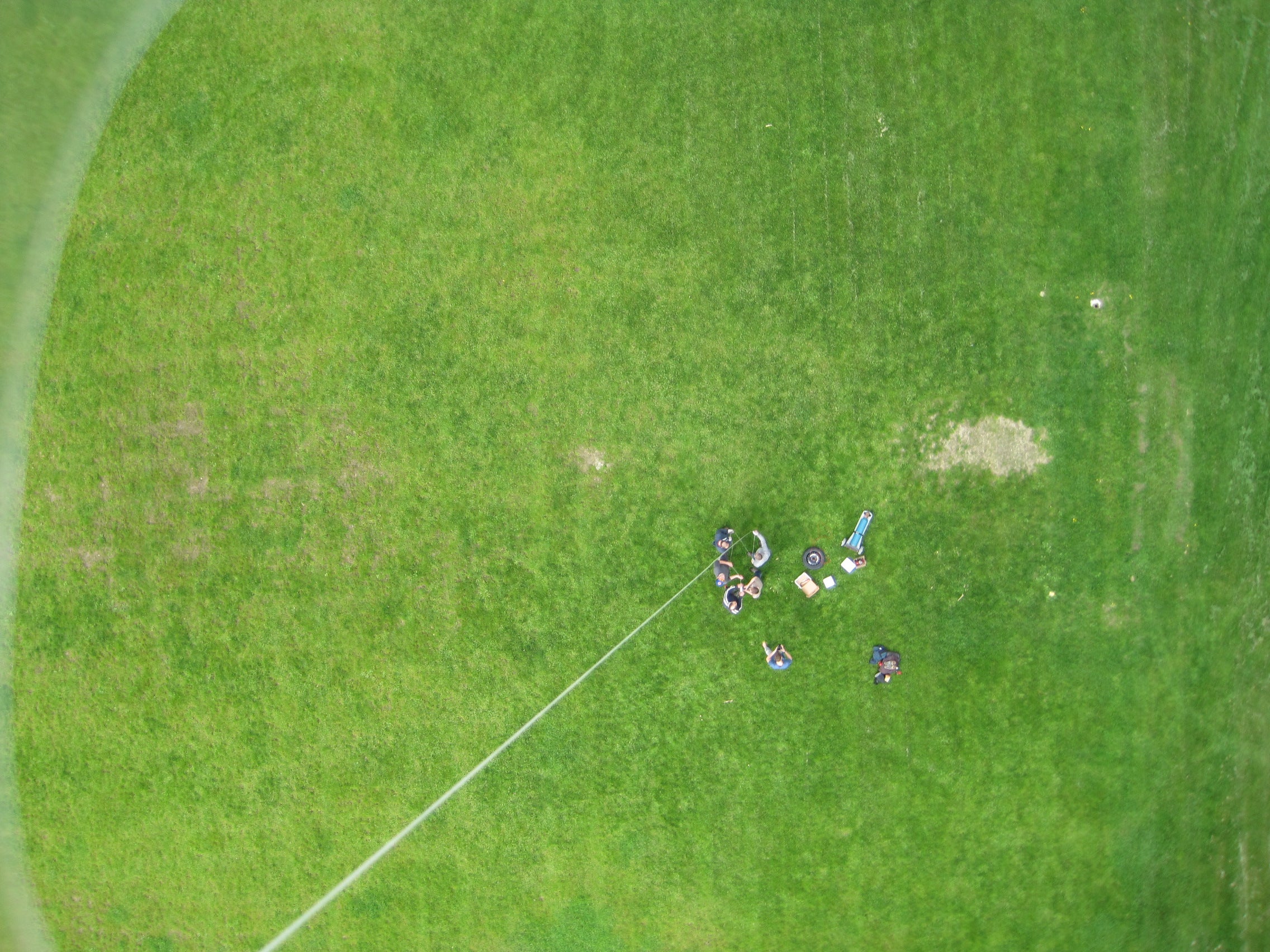
One of the last photos taken before the camera memory card filled up. Busy people below, reeling in the balloon.
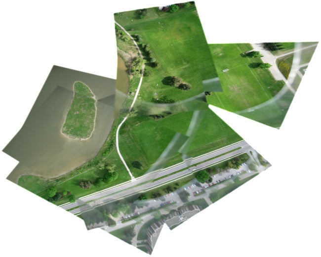
Lastly, here is the georeferenced and mosaicked images all put together using mapknitter.org.
Overall, a ton of fun on a sunny late spring morning. Other than the obvious adjustments to the camera harness, and perhaps choosing a more interesting location, I’m not sure what we would have done differently. I think this speaks to how well set up the PLOTS balloon kit and instructions were, and also the number of other people who have done similar experiments out there. This gives me quite a bit of confidence that this could actually be done in the context of a first-year class – hopefully I get the chance to put this plan into action!