
As part of Geography 187: Problem Solving in Geomatics, I’ve started using Fulcrum as a tool for students to gain experience collecting in-situ field data. Fulcrum is both a mobile app (for iOS and Android) and a data management/survey design backend. Fulcrum lets you develop a ‘survey’ (or form to fill out) that can accept all types of data, pictures, comments, custom tailored to your application.
In the case of GEOG 187, students were conducting a basic tree health survey of trees on campus, with help from the Ecology Lab. This dataset provided the basis for the semester project on identifying areas on campus where building development could take place with minimal disruption to existing mature and healthy trees.
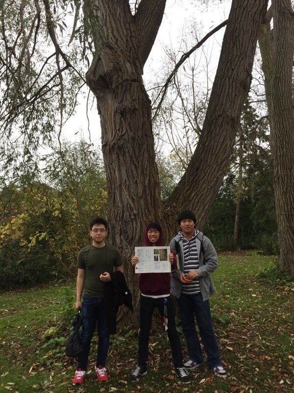
Overall, Fulcrum was quite easy to set up, with pre-made templates to help me get started. In the field, students used the app to record information on trees, and to take pictures. Data collection is limited to point data, but of course, when data is collected on the potentially tree picsmall screen of a smartphone, it could be challenging to create more complex geometries like polygons and lines. This data is automatically geotagged and available for export from the Fulcrum interface. I’ve taken the tree data and put it into a small CartoDB map. Fulcrum provided a very easy to deploy and easy to use solution for this class, and also helped students to learn more about primary data collection. Thanks Fulcrum!