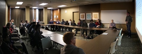
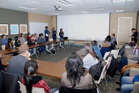
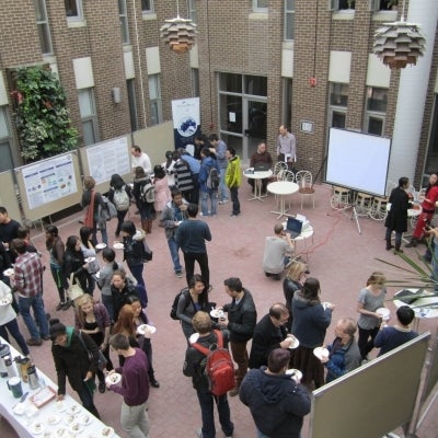
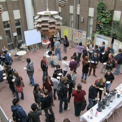
Lightning talks
- Vlad Usyukov: Estimation of future ridership patterns for Conestoga College students for Grand River Transit (GRT), Waterloo, ON
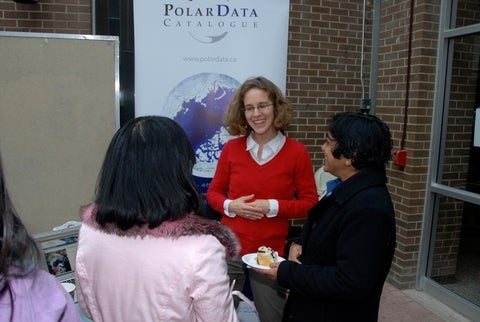
- Julie Friddell: Spatial data visualization at the Polar Data Catalogue
- Carl Puddy: Introduction to Satellite AIS
- Kristina Luus: Geospatial analysis in R
- Ryan Ahola: Implementation of a soil radar backscatter model with applicability to radar observations of a sub-Arctic environment
- Aaron Thompson: Radar remote sensing of tree canopy senescence
- Michael Luubert: Campus wayfinding iOS app
- Danial Mariampillai: Seagrass mapping
- Junzhu Li: Exploring spatial relationships between soil organic carbon and climate factors
- Dongrong Li: Solar panel installation site selection
- Yuanming Shu: Smart Object-based Image Analysis (SmartOBIA): Next generation of object-based remote sensing image analysis
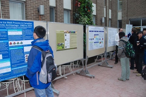
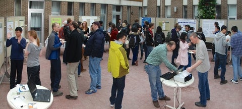
Paper posters
- Alexander Brenning, Jason N. Goetz, Grant O’Neill, Justin Kieffer: Exploring spatial patterns in co-op job distribution with GIS and data mining
- Caitlin Port: Farming in the suburbs: The land potential for urban agriculture in the City of Waterloo
- Su-Yin Tan, Dongrong Li, Carina Luo, James McCarthy: Learning to think spatially: Identifying threshold concepts and troublesome knowledge in GIScience education
- Wenxia Tan, Ellsworth LeDrew: Sea ice retreat process in the Canadian Arctic
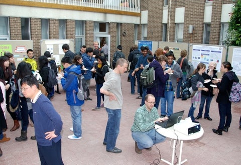
Digital posters
- Alexander Brenning, Jason N. Goetz, Grant O’Neill, and Justin Kieffer: Exploring spatial patterns in co-op job distribution with GIS and data mining
- Caitlin Port: Farming in the suburbs: The land potential for urban agriculture in the City of Waterloo
- Julie Friddell, Ellsworth LeDrew, Warwick Vincent, Julie Veillette, and Joseé Michaud: The Polar Data Catalogue: A dynamic tool for data sharing and discovery
- H. Kheyrollah Pour, C.R. Duguay, L. Rontu, O. Mattila, H. Alasalmi, and J. Uusikivi: Evaluation of remotely sensed water surface temperature of Finnish lakes
- Paula Aguayo: Predicting solar potential of rooftops using LiDAR data
Demonstrations
Julie Friddell: Map applications at the Polar Data Catalogue
We would like to highlight the new map-based data visualizations that have recently been developed for the Polar Data Catalogue. Also, we will be able to show interested persons the map-based Polar Data Catalogue Search application which provides access to research data and satellite imagery.
Carl Puddy: Satellite Automatic Identification System (AIS) and web services applications
In short, exactEarth Ltd. essentially tracks vessels with satellites. We pick up in excess of 85,000 vessels daily with our premium service by listening to vessel's AIS message transmittance. We collect more than 3 million messages daily and have a truly global coverage. Much of our pre-product analysis is preformed using GIS to build and model vessel behavior. We have many demo's in online platforms built around Esri's Javascript Application Programming Interface (API). There are a series of demo's including Arctic shipping monitoring, illegal fishing, casualty alerting, and radar fusion for suspicious vessel activity. As well, we have a series of Web Map Service's (WMS) and Web Feature Service's (WFS) which display near real time vessel positions, and their respective history.
Mark Cheresna: Extensible Markup Language (XML), Geography Markup Language (GML), and CityGML
XML, a widely used self-descriptive document format, forms the basis of GML and CityGML, both Open Geospatial Consortium (OGC) standards. The presentation will focus on how the dependencies of CityGML and GML on XML, with a particular focus on the structure of the documents.
Yuanming Shu: Smart Object-based Image Analysis (SmartOBIA) software tool
I will demonstrate my newly developed software tool for object based remote sensing image analysis, with its applications in shoreline delineation, land cover mapping, and building extraction.
