Keynote speaker
Dr. Jeff Casello
Associate Professor
School of Planning, Department of Civil and Environmental Engineering
GIS applications to transit design: Waterloo Region's Rapid Transit
The Regional Municipality of Waterloo has proposed to develop a rapid transit project along the Region's Central Transit Corridor. In response to this proposal, there is a need to redesign the conventional transit network to complement and support the light rail transit. In this talk, Professor Casello will describe the GIS-based planning process he and his students used in developing and evaluating a hierarchical network of transit routes to serve the region. The talk will emphasize the application of tools to quantify and display population, employment and travel patterns for various trip purposes - journey to work and school, for example - and matching transit service to these patterns.
Professor Casello is an associate professor of transportation planning and engineering. He is the author of the Transit Planning Chapter in the Institute of Transportation Engineer's Transportation Planning Handbook. He has been a transit consultant to several cities in Canada, the U.S. and Mexico.
Lightning talks
- Raymond Cabrerra: Modelling wetland vegetation response to water level change in Long Point, Ontario
- Yunwei Dong: The business side of GIS: What role geomatic-ers can play
- Peter Chu Su: Ministry of Natural Resources (MNR) watershed delineation experience
- Julie E. Friddell: Canadian Cryospheric Information Network (CCIN) - The Polar Data Catalogue and RADARSAT
- Jacqueline McKoy Lambert: Open Data Waterloo Region
- Fabiola Sosa: Impacts of water management decisions in Mexico City
Map gallery exhibits
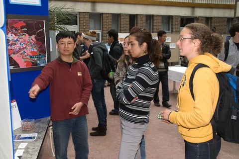
- Anna Kramer: Land use intensification plans and frequent transit networks
- Nic Svacina: Analyzing RADARSAT-1 imagery to determine variability and trends in ice cover on shallow lakes near Churchill, Manitoba
- Deb Roth: Cree Nation of Wemindji - annual journey to their old settlement, 50 km south of their current community on James Bay
- Adriana McMullen: Shape Your Future Victoria
- Andrew Blakey: Using web GIS to explore rooftop photovoltaics cell feasibility
- University Map Library: Speak with staff from the University Map Library about geospatial data services that they provide
- MAD: Learn more about MAD's services

