Agenda
1:00 - 4:00 pm
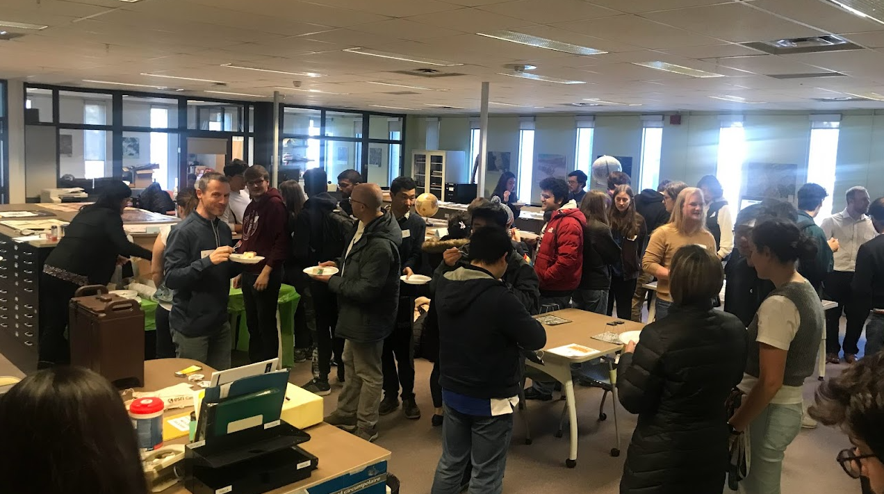
- Geospatial Centre Open House (LIB 328)
1:30 - 2:00 pm
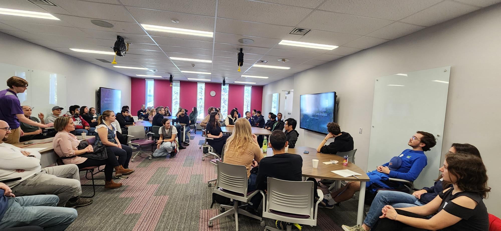
- Lightning Talks Round 1 (LIB 323)
- Utilizing NDVI for tornado track detection and analysis, Matthew Woodward
- Transit Planning - Route Coverage Analysis, Yasseen Mobada
- Building a public transit travel-time map for the web, Henry Nguyen
- Assessing the Impact of New Local Urban Rail Transit Projects in Ontario on Ridership and Transportation Equity: A Comparative GTFS-Based Service Area Analysis, Harry Cheung
2:00 - 2:30 pm
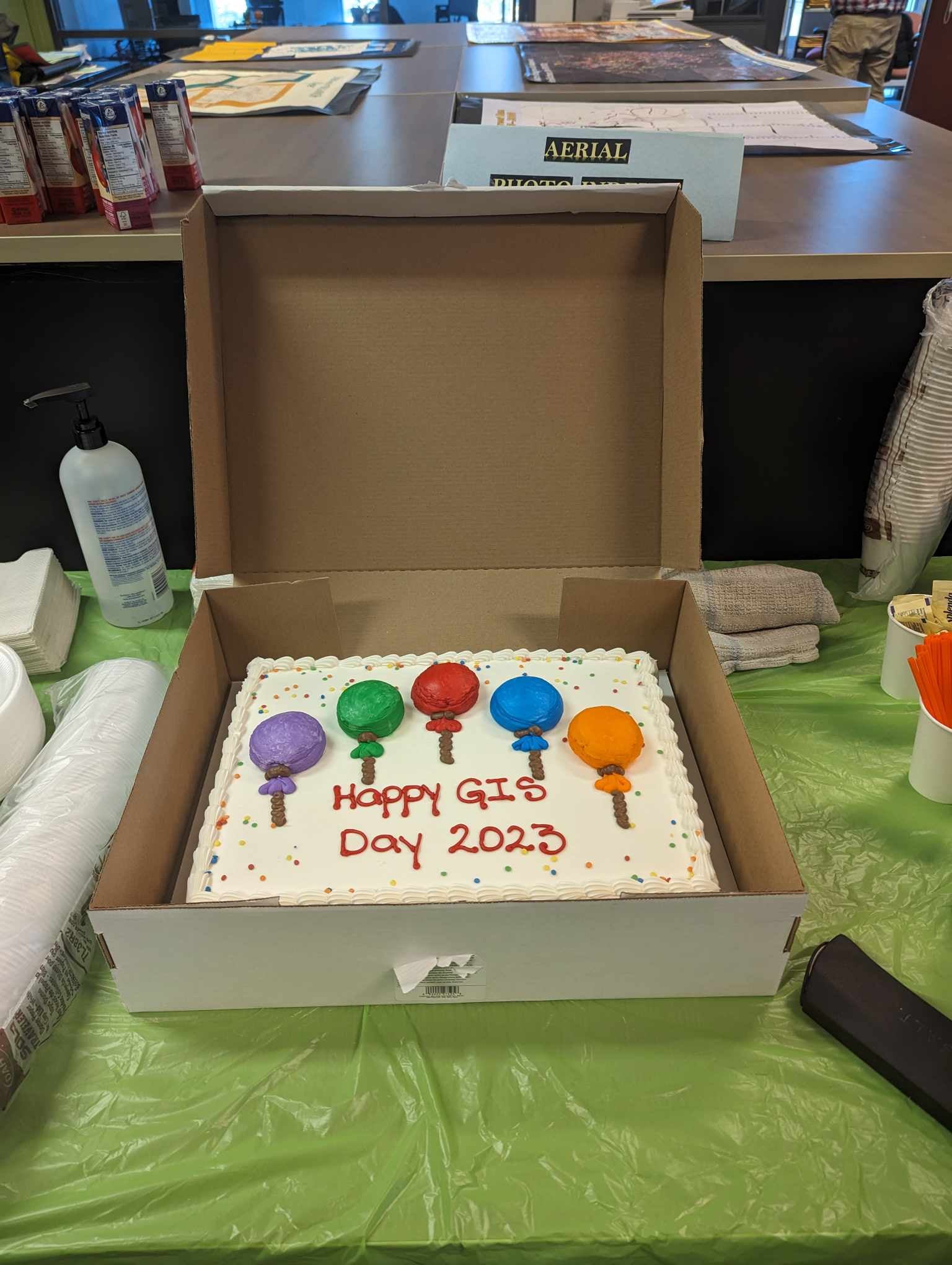
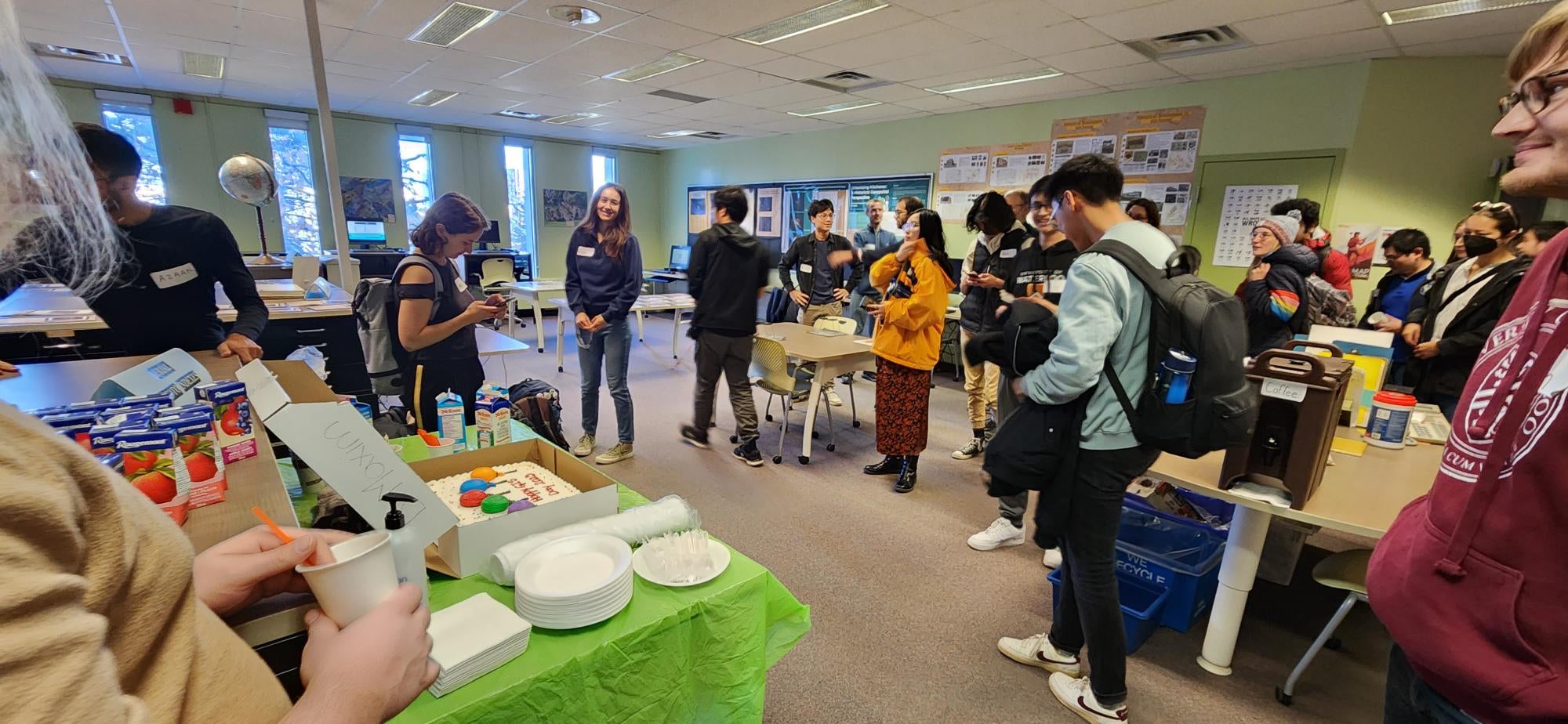
- Cake Break sponsored by WAGS (LIB 328)
2:30 - 3:20 pm
- Concurrent workshops
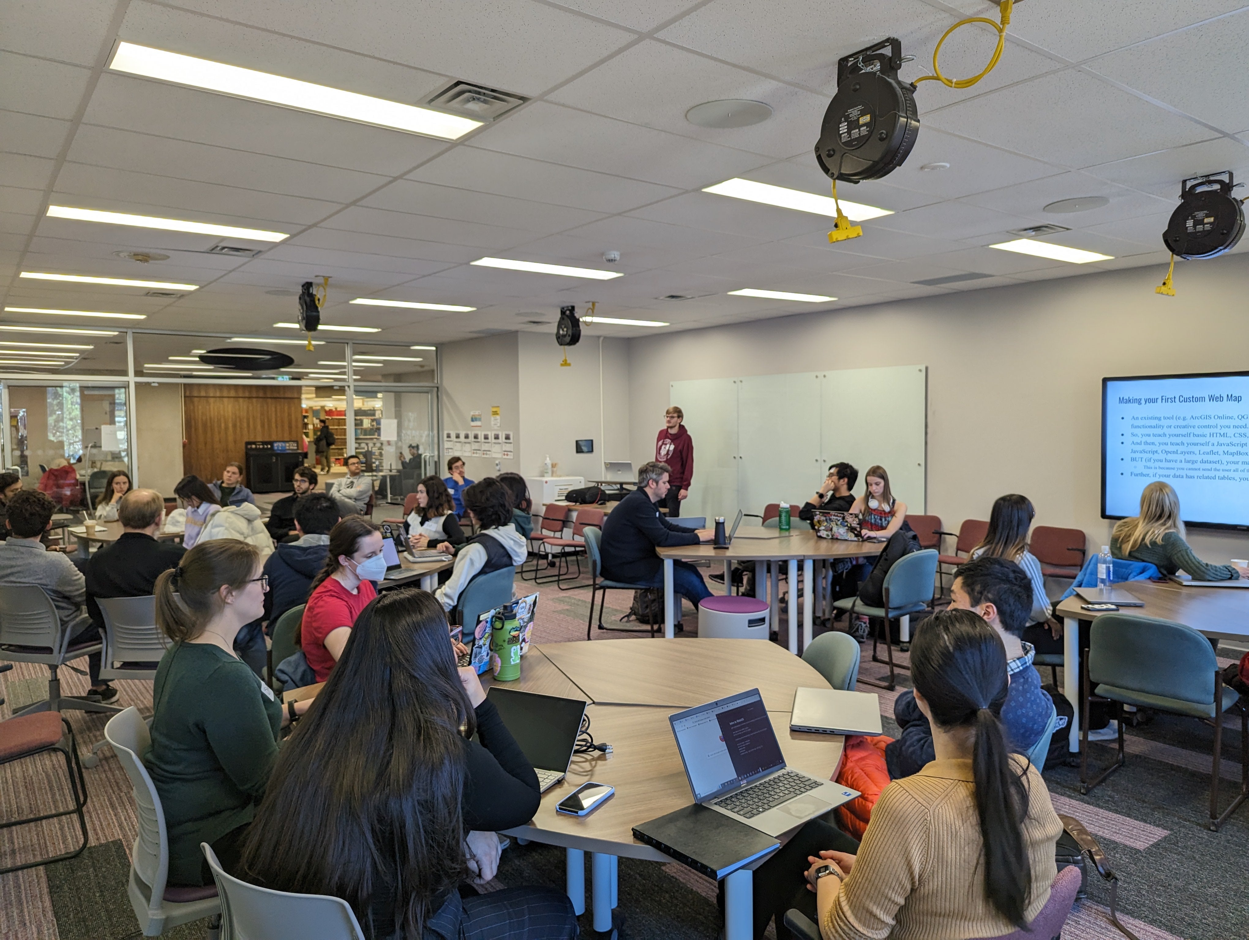
- Introduction to Web Mapping and Web GIS (LIB 323)
- Python Crash Course (LIB 329)
3:30 - 4:00 pm
- Lightning Talks Round 2 (LIB 323)
- QuickCapture and Vacation Photos: using QuickCapture to create vacation blog posts, Weronika Fydrych
- Canada Wildfire Mitigation Strategies Using GIS, Shantanu Das, Mateo Andrade, Sam Ma and Sun Ho Mathew Choi
- Text to Maps: Transcribing and geocoding city directories for ArcGIS Online, Eva Dodsworth
- Data Collection with ArcGIS Field Maps, Gagandeep Singh
- GIS projects and consultations facilitated by the Geospatial Centre, Markus Wieland
- ArcGIS Dashboards for Plant Operations, Cliff Graves, Judy Ye
- Oil Under Freshwater Ice: Detection and Environmental Implications in the Great Lakes, Grant Gunn