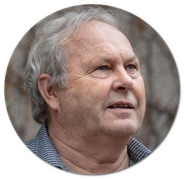
Biography
Michael A. Chapman is a professor of geomatics with the Department of Civil Engineering, Ryerson University in Toronto and adjunct professor of geomatics with the Department of Geography and Environmental Management, University of Waterloo (since 2010). He received a PhD degree in photogrammetry from the University of Laval, Quebec City, QC, Canada. Prior to joining Ryerson University in 1998, he was professor with the Department of Geomatics Engineering, University of Calgary for 18 years. His research interests include photogrammetry and remote sensing, mobile mapping, industrial metrology, remote sensing and GIS applications in transportation.
Professor Chapmans recent research projects are about the development of algorithms and processing methods for airborne and vehicle-borne sensors using GNSS/IMU, geometric processing of digital imagery and LiDAR point clouds in GNSS-denied environments, terrestrial imaging and scanning systems for transportation infrastructure mapping, and algorithms and processing strategies for bio-metrology applications, mainly funded by the NSERC, ACE, MTO, CSA, and industries, etc.
Professor Chapman is a Professional Engineer (P.Eng.) licensed with Professional Engineers Ontario (PEO) and an Ontario Land Surveyor and Ontario Land Information Professional (OLS/OLIP) licensed with the Association of Ontario Land Surveyors (AOLS). He has taught courses including Advanced Adjustments, Photogrammetry, Digital Mapping, and Survey Design (undergraduate) as well as Digital Stereo Image Processing (graduate). He has supervised more than 30 PhD students and over 60 MASc/MSc/MEng students to completion. He has co-authored over 200 technical papers in refereed journals and conference proceedings, including Photogrammetric Engineering Remote Sensing, ISPRS Journal of Photogrammetry and Remote Sensing, IEEE Transactions on Geoscience and Remote Sensing, IEEE Journal of Selected Topics in Applied Earth Observations and Remote Sensing, The Photogrammetric Record, Geomatica, IGARSS, and ISPRS.
