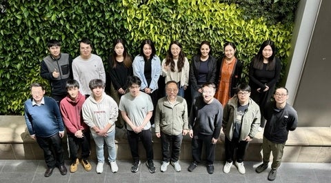
Who we are
The Geospatial Intelligence and Mapping (GIM) group at the University of Waterloo consists of faculty members, students, postdoc fellows, and visiting scholars trained in geomatics, geography, statistics, computer science, and engineering. Our group is led by Dr. Jonathan Li, Professor of Geomatics with the Department of Geography and Environmental Management and cross-appointed at the Department of Systems Design Engineering, University of Waterloo. Learn more about each member in the section of our people.
What we do
The overall goal of our research is to develop and commercialize innovative sensing techniques and analytical methods for analyzing, visualizing, and applying geospatial data acquired by various passive and active imaging and ranging sensors. In general, our research efforts focus on three core areas:
1. LiDAR remote sensing and point cloud analytics:
Research emphasis: Mobile LiDAR mapping, point cloud understanding, data-driven point cloud upsampling, multisource point cloud fusion, LiDAR-based simultaneous localization and mapping (SLAM) for indoor navigation and 3D modeling, LiDAR-based environment perception for autonomous driving, drone-LiDAR for powerline inspection and forest inventory, mobile LiDAR for roadway inventory and pavement inspection, multispectral LiDAR data for land cover classification.
2. Multisensor data fusion and geospatial data intelligence:
Research emphasis: Large-scale datasets for training and testing deep learning solutions to urban HD mapping, multisource data fusion, weakly supervised learning, semantic and instance segmentation, satellite image time series classification, 3D object detection and recognition, 3D vision, spatial intelligence, super resolution deep learning, spatial downscaling of satellite remotely sensed data.
3. Monitoring and understanding urban dynamics:
Research emphasis: Time-series earth observations for mapping urban land-use and land-cover changes, urban heat island effect and thermal sensing, night-time light remote sensing of urban sprawl and population growth, satellite data for estimating air pollution and human health impacts, remote sensing for monitoring green-space and vegetation status, quantifying the relationships between socio-economic variables and remote sensing-derived variables.
Who supports us
Our projects have been funded by:
- Natural Sciences and Engineering Research Council of Canada (NSERC),
- Canadian Foundation for Innovation (CFI),
- Ontario Innovation Trust (OIT),
- Agriculture and Agri-Food Canada (AAFC),
- Environment Canada (EC),
- Canadian Space Agency (CSA),
- Natural Resources Canada (NRCan),
- Ontario Ministry of Transportation (MTO),
- Networks of Centres of Excellence of Canada (e.g., ArcticNet),
- Geomatics industrial partners (e.g., PCI Geomatics, Tulloch Engineering, RIEGL, Trimble, Leica Geosystems, Ecopia Tech and WatXtract.ai),
- International agencies (e.g., NSFC, CSC, XMU),
- Mitacs, and
- The University of Waterloo.


