Preventing erosion and restoring critical habitats has become an increasingly costly endeavour for municipalities and regions as urbanization changes how water moves across landscapes and through streams. Watersheds are significantly altered when urban infrastructure is built. For instance, increasing the amount of paved surface alters natural flooding patterns, accelerates soil erosion and increases the amount of sediments in streams. This hydrologic change can alter important habitats and negatively impact built infrastructure such as bridges and sewers. To help municipalities, regions, and conservation authorities tackle this problem, a research team from the University of Waterloo, led by Water Institute member Bruce MacVicar, developed the Stream Power Index for Networks (SPIN) tool that locates areas susceptible to erosion within urban river networks to provide critical information for watershed development and restoration planning.
“We developed this tool in partnership with Credit Valley Conservation (CVC) and Professor Peter Ashmore from Western University,” said Bruce MacVicar, professor in the Department of Civil and Environmental Engineering. “The tool uses simple land-use and topography data to estimate ‘stream power,’ a measure of the energy of flowing water, both before and after urbanization.”
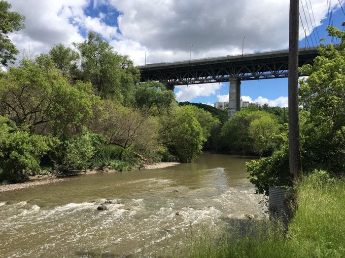
“We are using the SPIN tool to assess erosion risk throughout the Etobicoke Creek watershed in Toronto, working in partnership with Toronto and Region Conservation (TRCA),” said Elli Papangelakis, a Postdoctoral Associate on MacVicar’s research team. “TRCA has records of 698 infrastructure hazard monitoring sites, 92 erosion hazard sites, and 3,679 erosion control structures and inventory sites, which illustrates both the cost and complexity of dealing with this single watershed that has undergone massive land-use change over the last few decades.”
Erosion data gathered over the years will help calibrate the SPIN tool so it can be used to explain what is happening in the watershed. Results will help guide future land use and infrastructure decisions in the watershed, by assessing different potential land use and ecological restoration scenarios.
Through their work with CVC and TRCA, MacVicar and his research team are hoping that by considering erosion within the context of an urbanizing watershed, the SPIN tool will provide new, vital information for management and restoration decisions. The long-term the hope is that the tool will be an accepted part of multi-disciplinary watershed plans throughout Ontario.