Description
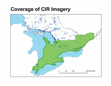
This collection of approximately 64,000 colour infrared (CIR) aerial photos were collected by the Ontario Ministry of Natural Resources between 1994-2003 and covers most areas of Southern Ontario. Images are in Jpg2000 format, non-georeferenced, and taken at approximately 1:10,000 scale.
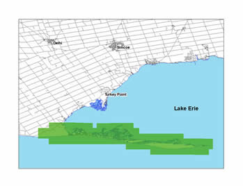
Coverage:
Currently the Geospatial Centre has imagery for Long Point National Wildlife Area. More imagery available on request.
Spatial reference and data type
These non-georeferenced images are stored as Jpg2000 image files. Average file size is approximately 55 MB.
Data access
In order to access these data sets, please visit the Geospatial Centre during reference hours. Library reference staff are available to provide further information about these data sets and to deliver data upon request. Under the terms of the library's license agreement, these data sets are for use by students, faculty, and staff at the University of Waterloo only.
Data manipulation and storage
There are public workstations in the Geospatial Centre that provide access to ArcGIS software programs, program extensions, and data manipulation utilities. Patrons may use the Geographic Information System (GIS) and image processing software in the library to view and manipulate the data. UWaterloo faculty, students, and staff may copy these data to other media (for example: CD, DVD or Zip disc) for use elsewhere.
Data output
These images may be exported from ArcGIS in a choice of bitmapped formats (also known as raster graphics) including JPG, TIFF, GIF, and BMP or in a choice of vector graphics formats including Adobe Illustrator (AI), Encapsulated Postscript (EPS), and Scalable Vector Graphics (SVG). Yet another option is PDF. The user defines the output resolution.
Use restrictions/licensing/copyright
These data are provided for personal use for academic, research, and/or teaching purposes. Library staff will ask patrons to read and sign a data release agreement before these licensed data can be released. Ontario Ministry of Natural Resources must be acknowledged on any derivative product, whether printed or electronic, including for example, a printed map, a raster or vector graphic, a web-based application, etc. Patrons are advised to fully respect the provisions of Canada's Copyright Act as well as terms and conditions imposed by the data provider.
Citation
CIR Imagery [print], Ontario Ministry of Natural Resources,
Sample view of the data
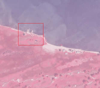
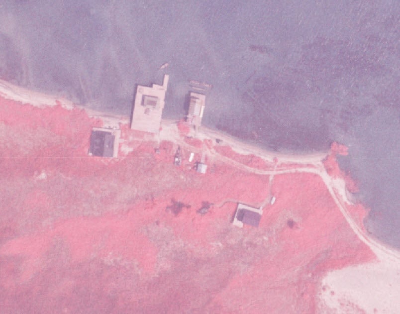
Data courtesy of the Ontario Ministry of Natural Resources