Description
Digital Raster Acquisition Project for the East imagery (DRAPE) was received from the Ontario Ministry of Natural Resources. The imagery covers approximately 54,000 square kilometres in eastern Ontario and was taken between January 2008 - January 2009. Imagery is available in either 1 km tiles or mosaicked 20 km tiles.
Data collection came from multiple remote sensing data products at 30 cm and 10 cm resolution. The Province of Ontario managed the imagery and made available a resampled 50 cm version of this data.
Over 50 organizations contributed funding to the project, including: Ontario Government ministries, municipalities, conservation authorities, private sector organizations, non-government organizations and a few federal departments.
DRAPE imagery covers the following counties/ districts:
- Frontenac County
- Haliburton County
- Hastings County
- Kemptville District
- Leeds and Grenville United Counties
- Lanark County
- Lennox and Addington County
- Nipissing District
- Northumberland County
- Ottawa-Carlton Regional Municipality
- Peterborough County
- Prince Edward County
- Renfrew County
- Victoria County
City indexes for DRAPE imagery:
- City of Kingston (1km by 1km tile index)(PDF)
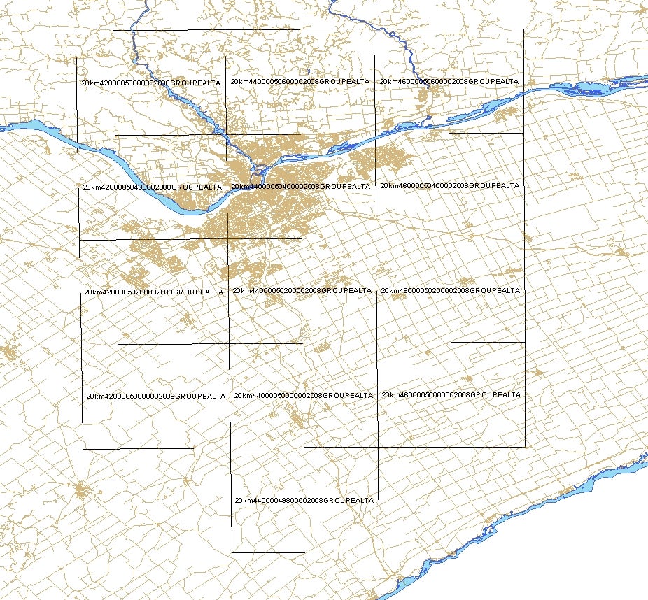
- City of Ottawa (20km by 20km tile index)(PDF)
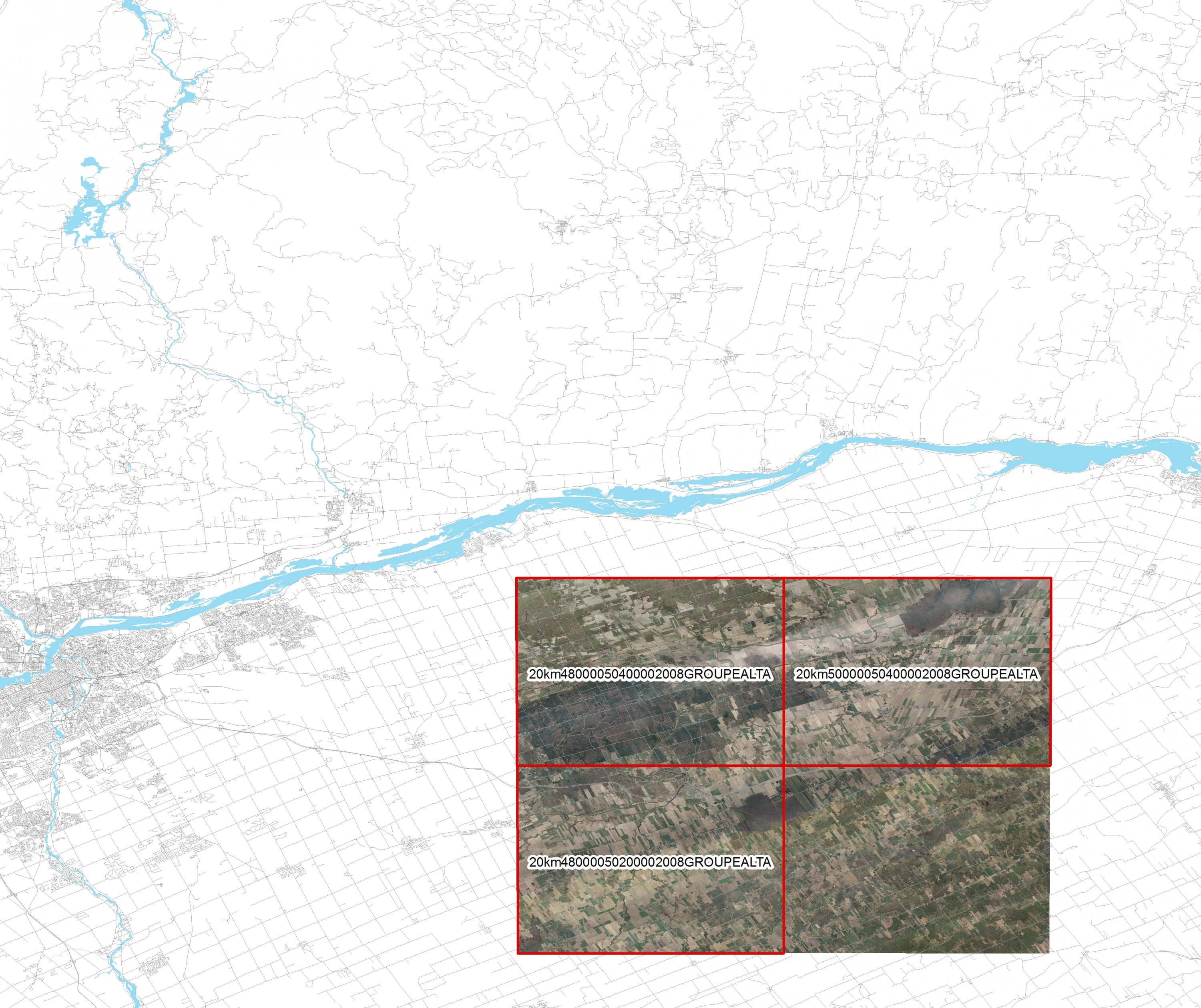
- Casselman Area (20km by 20km tile index)(PDF)
Spatial reference and data type
These georeferenced images are available in Universal Transverse Mercator (UTM) coordinates; horizontal datum is North American Datum (NAD) 83. They are stored as 50 cm true colour 1km x 1km MrSID tiles and MrSID compressed orthomosaics. The average file size for 1km tiles is 4MB and 1GB for 20Km tiles.
Data access
In order to access these data sets, please visit the Map Library Reference Desk during reference hours. Library reference staff are available to provide further information about these data sets and to deliver data upon request. Under the terms of the Libraries' license agreement, these data sets are for use by students, faculty, and staff at the University of Waterloo only.
Data manipulation and storage
There are public workstations in the Map Library that provide access to ArcGIS and software programs, program extensions and data manipulation utilities. Patrons may use the Geographic Information System (GIS) and image processing software in the library to view and manipulate the data. UWaterloo faculty, students and staff may copy these data to other media (for example: CD, DVD or Zip disc) for use elsewhere.
Data output
These images may be exported from ArcGIS in a choice of bitmapped formats (also known as raster graphics) including JPG, TIFF, GIF, and BMP or in a choice of vector graphics formats including Adobe Illustrator (AI), Encapsulated Postscript (EPS), and Scalable Vector Graphics (SVG). Yet another option is PDF. The user defines the output resolution.
Use restrictions/licensing/copyright
These data are provided for personal use for academic, research, and/or teaching purposes. Library staff will ask patrons to read and sign a data release agreement before these licensed data can be released. The Ontario Ministry of Natural Resources must be acknowledged on any derivative product, whether printed or electronic, including, for example, a printed map, a raster or vector graphic, a web-based application, etc. Patrons are advised to fully respect the provisions of Canada's Copyright Act as well as the terms and conditions imposed by the data provider.
Citation
DRAPE : Orthoimagery 2008 [computer file]. Ontario Ministry of Natural Resources.
Sample view of the data
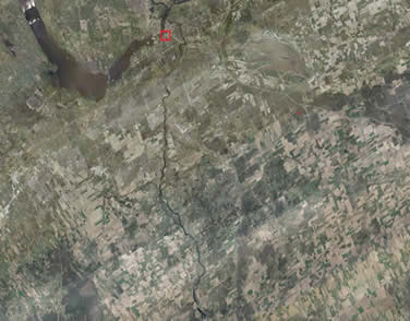
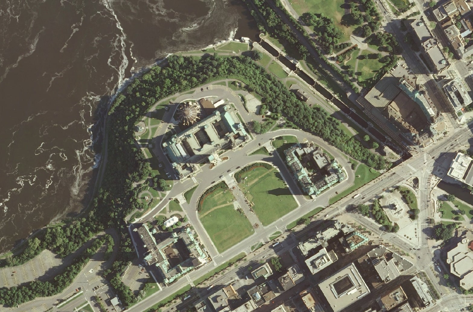
Imagery courtesy of Ontario Ministry of Natural Resources