Data access
Full access to our resources is available to current students, faculty, and staff of the University of Waterloo. To request access, please complete the Ask-Us form indicating the specific layers (shapefiles) you require. Upon completion of the data release agreement form, the dataset will be provided to you via OneDrive.
In-person consultations may also be requested through the Ask-Us form.
Description
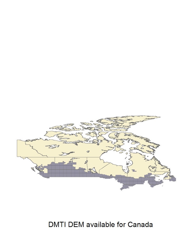
This data resource provides a digital elevation model (DEM) with 30 metre intervals. This model is based on the NTS 1:50,000, and 1:250,000 map sheets. Index (JPG) shows DEM coverage available through DMTI. The Geospatial Centre has access to DMTI's data and is available upon request. Digital Elevation Points are also available at 1 metre intervals.
Spatial reference and data type
These data sets are available in both Universal Transverse Mercator (UTM) and geographic (lat/long) co-ordinates; horizontal datum is North American Datum (NAD) 83. These data are stored as ASCII files, but are also available as ArcInfo Grid, Vertical Mapper (MapInfo ".grd" files), and Planet (UTM projection only) files.
Use restrictions/licensing/copyright
These data are provided for personal use for academic, research, and/or teaching purposes. A data release agreement must be agreed to before these licensed data can be released. DMTI Spatial must be acknowledged on any derivative product, whether printed or electronic, including for example, a printed map, a raster or vector graphic, a web-based application, etc. Patrons are advised to fully respect the provisions of Canada's Copyright Act as well as terms and conditions imposed by the data provider.
Citation
DMTI Digital Elevation Model [computer file]. Markham, Ontario: DMTI Spatial Inc. , [2011].
Sample view of the data
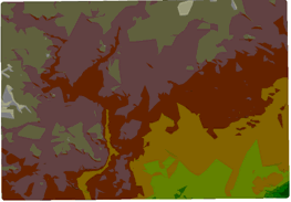
Data courtesy of DMTI