Data access
Full access to our resources is available to current students, faculty, and staff of the University of Waterloo. To request access, please complete the Ask-Us form indicating the specific layers (shapefiles) you require. Upon completion of the data release agreement form, the dataset will be provided to you via OneDrive.
In-person consultations may also be requested through the Ask-Us form.
Description
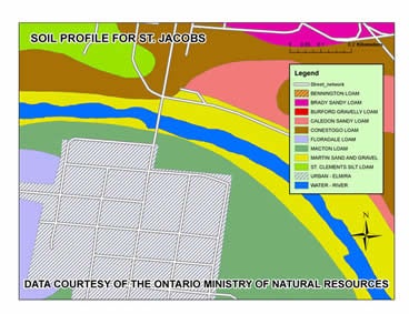
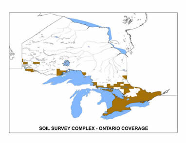
Received from Land Information Ontario in February 2012 this 2009 data provides detailed attribute information on soil type in south, east, and parts of northern Ontario. Scale of data is 1:50,000 and is available by census division (Geospatial Centre staff clipped data from original coverage).
Spatial reference and data type
These data sets are available in geographic (lat/long) co-ordinates; horizontal datum is North American Datum (NAD) 83, zone 17. These data are stored as Esri shapefiles. Other data formats can be accommodated, as the Geospatial Centre has access to a number of conversion utilities.
Use restrictions/licensing/copyright
This material is provided for academic, research, teaching, and personal use only. A data release agreement must be agreed to before the data is delivered. The Ontario Ministry of Natural Resources should be acknowledged on any derivative product, such as a map or an image.
Citation
Ontario Soils [computer file] Ontario Ministry of Natural Resources, OMNR [2009].
Sample view of the data