Data access
Full access to our resources is available to current students, faculty, and staff of the University of Waterloo. To request access, please complete the Ask-Us form indicating the specific layers (shapefiles) you require. Upon completion of the data release agreement form, the dataset will be provided to you via OneDrive.
In-person consultations may also be requested through the Ask-Us form.
Description
Geographic Information System (GIS) files were received from Ontario Ministry of Public Infrastructure Renewal on May 9, 2008. The data reflects what was built and on the ground when the growth plan came into effect in June, 2006 and is an important implementation and monitoring tool for the growth plan for the Greater Golden Horseshoe. The built boundary will allow the province and others to measure intensification and redevelopment within the built-up area. The built boundary was released in its final form on April 2, 2008, along with the methodology used to derive it.
The dataset provided to the Geospatial Centre includes the following boundaries:
- City of Barrie
- City of Brant
- City of Guelph
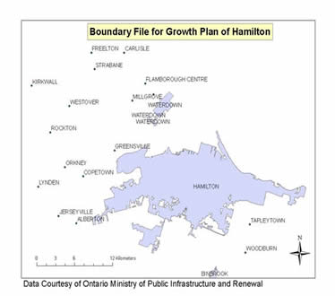
- City of Hamilton
- City of Kawartha Lakes
- City of Orilla
- City of Peterborough
- City of Toronto
- County of Brant
- County of Dufferin
- County of Haldimand
- County of Northumberland
- County of Peterborough
- County of Wellington
- Greater Golden Horseshoe
- Region of Durham
- Region of Halton
- Region of Niagara
- Region of Peel
- Region of Waterloo
- Region of York
- Simcoe County
Spatial reference and data type
These data sets is available in Universal Transverse Mercator (UTM). zone 17 co-ordinates; horizontal datum is North American Datum (NAD) 83. These data are stored as ESRI shapefiles. Other data formats can be accommodated, as the Geospatial Centre has access to a number of conversion utilities.
Use restrictions/licensing/copyright
These data are provided for personal use for academic, research, and/or teaching purposes. A data release agreement must be agreed to before these licensed data can be released. The Ontario Ministry of Public Infrastructure Renewal must be acknowledged on any derivative product, whether printed or electronic, including for example, a printed map, a raster or vector graphic, a web-based application, etc. Patrons are advised to fully respect the provisions of Canada's Copyright Act as well as terms and conditions imposed by the data provider.
Citation
Hamilton Boundary File for City of Hamilton [2008 computer file], Ontario Ministry of Public Infrastructure Renewal.