Data access
Full access to our resources is available to current students, faculty, and staff of the University of Waterloo. To request access, please complete the Ask-Us form indicating the specific layers (shapefiles) you require. Upon completion of the data release agreement form, the dataset will be provided to you via OneDrive.
In-person consultations may also be requested through the Ask-Us form.
Description
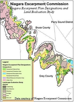
This vector data resource consists of data layers that pertain to the Niagara Escarpment Plan (NEP) control area. Layers consist of: NEP Designations, NEP Development Control boundaries, Escarpment Parks and Open Spaces System, NEP Special Policy areas, and an NEP Landscape Evaluation Study. This product was provided to the Geospatial Centre by the Niagara Escarpment Commission in December 2006.
Spatial reference and data type
These data sets are available in Universal Transverse Mercator (UTM) co-ordinates; horizontal datum is North American Datum (NAD) 83. These data are stored as Esri shapefiles. Other data formats can be accommodated, as the Geospatial Centre has access to a number of conversion utilities.
Use restrictions/licensing/copyright
These data are provided for personal use for academic, research, and/or teaching purposes. A data release agreement must be agreed to before these licensed data can be released. The Niagara Escarpment Commission must be acknowledged on any derivative product, whether printed or electronic, including for example, a printed map, a raster or vector graphic, a web-based application, etc. Patrons are advised to fully respect the provisions of Canada's Copyright Act as well as terms and conditions imposed by the data provider.
Citation
The Niagara Escarpment Commission: Niagara Escarpment Plan Data [computer file]. Georgetown, Ontario: Niagara Escarpment Commission, [2006].
Sample view of the data