Description
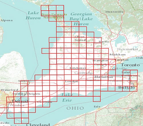
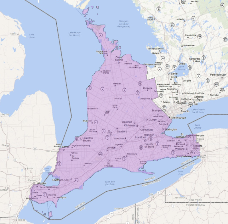
Land Information Ontario, as well as most municipalities in Southwestern Ontario and a number of other public and private sector organizations collaborated to acquire digital orthophotography for approximately 45,572 square kilometres of land in Southwestern Ontario. The geographic area of SWOOP 2010 includes buffers along the borders between Ontario and the State of Michigan and the State of New York as shown in the figure below.
Resolution for air photos is 20 cm with horizontal and vertical accuracy of 50 cm. The air photos were taken in April/Map 2010 to ensure leaf-off, no-snow conditions.
Coverage of the Region of Waterloo consists of over 1500 image tiles. You may wish to consult the following indexes for tile numbers.
- County of Brant (PDF)
- County of Bruce (PDF)
- County of Chatham-Kent (PDF)
- County of Dufferin (PDF)
- County of Elgin (PDF)
- County of Essex (PDF)
- County of Grey (PDF)
- County of Halton (PDF)
- City of Hamilton (PDF)
- County of Huron (PDF)
- County of Lambton (PDF)
- County of Middlesex (PDF)
- County of Niagara (PDF)
- County of Norfolk (PDF)
- County of Oxford (PDF)
- County of Perth (PDF)
- County of Wellington (PDF)
- Regional Municipality of Waterloo (RMOW) (PDF)
Spatial reference and data type
These georeference 1km square images are available in Universal Transverse Mercator (UTM) coordinates; horizontal datum is North American Datum (NAD) 83 UTM zone 17. They are stored as compressed JPEG 2000 format. Average files size is 5 MB.
Data access
To request this data, please fill out the Ask-Us form and include which layers (shapefiles) you are interested in obtaining. The dataset will be shared with you via OneDrive upon completion of the data release agreement form. You may also make an in-person appointment using the same form.
Use restrictions/licensing/copyright
These data are provided for personal use for academic, research, and/or teaching purposes. A data release agreement must be agreed to before these licensed data can be released. The Ontario Ministry of Natural Resources must be acknowledged on any derivative product, whether printed or electronic, including for example, a printed map, a raster or vector graphic, a web-based application, etc. Patrons are advised to fully respect the provisions of Canada's Copyright Act as well as terms and conditions imposed by the data provider.
Citation
SWOOP: Orthophotography 2010 [computer file]. Land Information Ontario, Ministry of Natural resources, [2010].
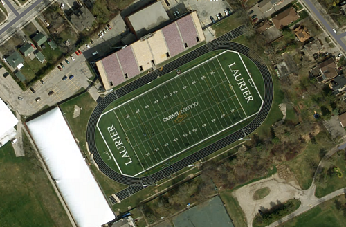
Sample View of the Data