This initiative aims to provide scholars, researchers, and the public with a visual directory, index, and account of Kitchener's residential, business and industrial development. This Historical GIS project takes decades of digitized Vernon city directories (years 1901+), cleanses, collates and geo-locates over a million searchable individual entries using a map platform. Users can filter, view and download historical facts about Kitchener's residents and businesses, offering endless discovery and research opportunities.
Access to the webmap is available from ArcGIS Online's GeoHub. A searchable and downloadable database is also available. Access to the geocoded files (.csv tabular data) is available below, as well as all business advertisements, grouped together by year. A list of all discovered and verified street names and street number changes has been compiled for more accurate analysis. Additionally, several sample maps of the historical dataset have been created to demonstrate the research potential.
To map the data yourself, simply go to https://www.google.ca/maps/about/mymaps, and use the Import function to display the Excel files in map format.
For user convenience, most abbreviations for occupations have been expanded. However, for entries where they were not, please refer to the Occupation and Name Abbreviation Lists.
The Kitchener Public Library has the City Directories available for viewing in scanned in a PDF format.
Themed analysis using historical GIS data:
Residences of Kitchener Soldiers - WWI and WWII
Prominent Businesses and their Employees
The Development of Chain Restaurants
Remembering Long Gone Restaurants
Forgotten Neighbourhood of Kitchener
Forgotten Neighbourhood of Kitchener 2
Remembering the Past: Homes That Once Were
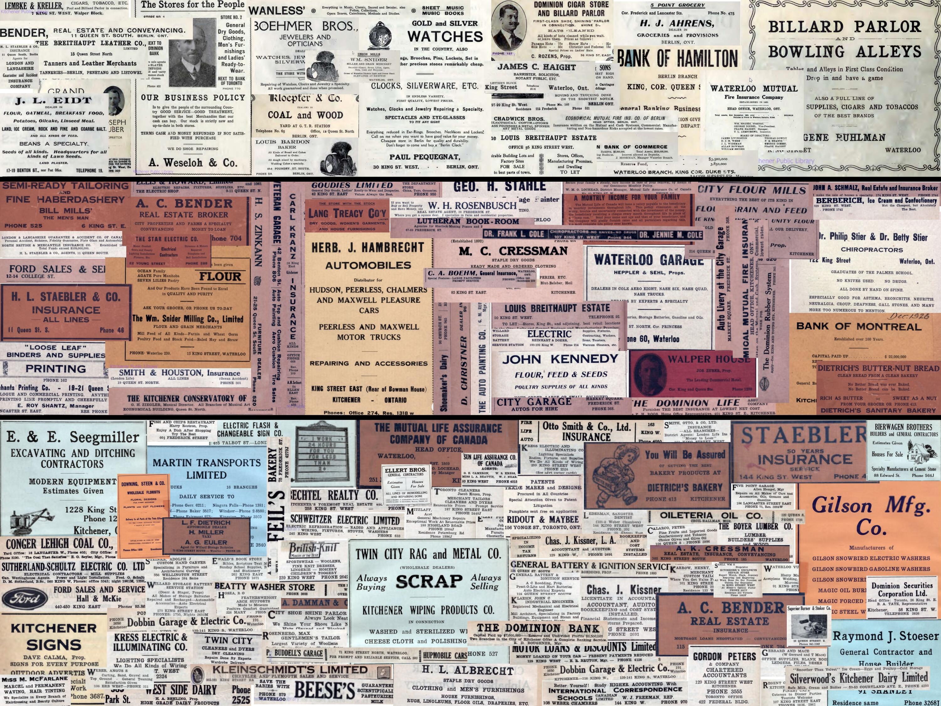
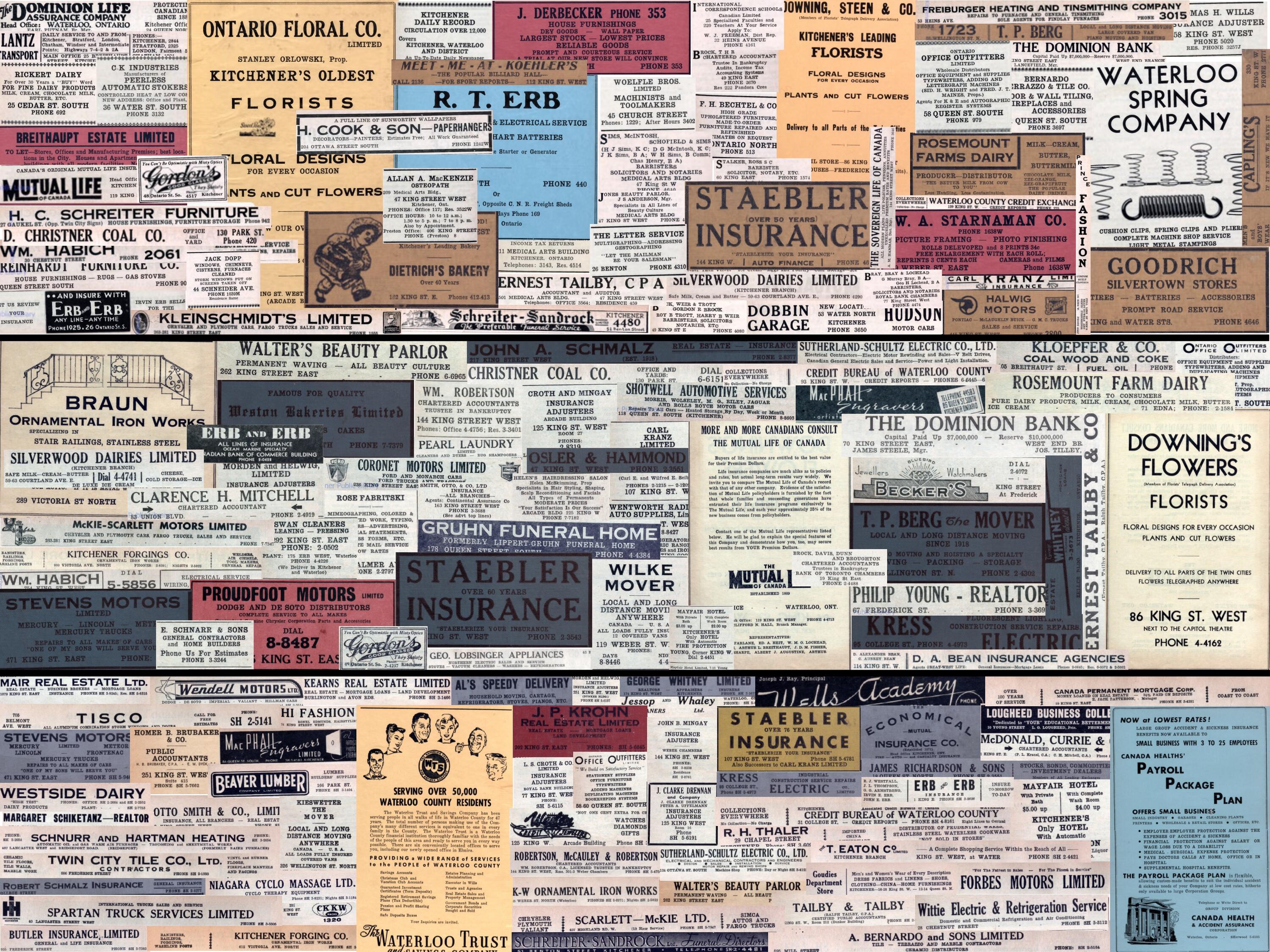
Advertisements in Research and Images Collages: 1910-1930 and 1940-1960
Businesses on King: History of Business Tenants 1901-2023 & Street view Compilation King Street E/W (Even & Odd) & Business Chronology
Early Occupations in Kitchener
Funding and Acknowledgement:
This project has been funded in part by the Social Sciences and Humanities Research Council, as well as the University of Waterloo Libraries. We would like to acknowledge the support of Karen Ball-Pyatt, the Kitchener Public Library as well as Darryl Bonk, from Waterloo Region Generations, who have generously provided us with scanned versions of the city directories.
This project was created by staff at the University of Waterloo Libraries Geospatial Centre with assistance from numerous individuals across several library departments. Special appreciation and recognition go to dozens of co-op students and part-time student workers who transcribed, geocoded and helped develop the final web maps.