Data access
Full access to our resources is available to current students, faculty, and staff of the University of Waterloo. To request access, please complete the Ask-Us form indicating the specific layers (shapefiles) you require. Upon completion of the data release agreement form, the dataset will be provided to you via OneDrive.
In-person consultations may also be requested through the Ask-Us form.
Description
Global GIS is a collection of geospatial data produced by the United States Geological Survey (USGS) and Environmental Systems Research Institute (Esri). This resource contains public domain geospatial data covering the globe at a scale of 1:1 million. This resource covers a wide variety of features, from topographic data, to government boundaries, to population and geology.
Spatial reference and data type
These data sets are available in geographic co-ordinates. These data are stored as Esri shapefiles. Other data formats can be accommodated, as the Geospatial Centre has access to a number of conversion utilities.
Use restrictions/licensing/copyright
This material is provided for academic, research, teaching, and personal use only. A data release agreement must be signed before the data is delivered. Esri should be acknowledged on any derivative product, such as a map or an image.
Citation
Esri Global GIS [computer file]. Redlands, California: Environmental Systems Research Institute, [2003].
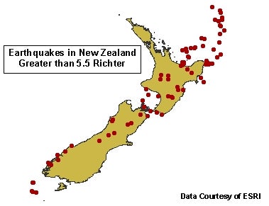
Sample view of the data