Data access
Full access to our resources is available to current students, faculty, and staff of the University of Waterloo. To request access, please complete the Ask-Us form indicating the specific layers (shapefiles) you require. Upon completion of the data release agreement form, the dataset will be provided to you via OneDrive.
In-person consultations may also be requested through the Ask-Us form.
Description
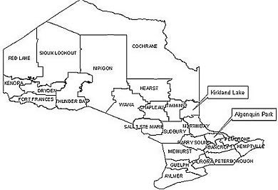
NRVIS layers which provide basic topographic coverage of the province are referred to as NRVIS fundamental layers. In the past this information was published by the Ontario Ministry of Natural Resources as Ontario Base Maps (OBM) at 1:10,000 (southern Ontario) and 1:20,000 scales (northern Ontario). Access to these basic topographic 'fundamental' coverage layers is available via the Geospatial Centre or through the Ontario Ministry of natural Resources online 'Ontario Base Mapping' site via the Geography Network.
These NRVIS datasets provide fundamental or base information for the province and include: ground relief, digital elevation model (DEM), drainage, buildings, roads, railways and other physical and cultural features; please see a more complete list below. Non-fundamental NRVIS layers are also available and they are those which deal with wildlife and natural area management; these layers include: wildlife feeding areas, nesting sites, areas of natural or scientific interest, and recreation routes. Please refer to the metadata of layers available, however please note that some layers pertain only to specific geographical areas.
Available data resources:
- Aggregate designated area
- Aggregate inspector jurisdiction
- Aggregate site authorized
- Airports
- Annotation
- Building to scale (footprints)
- Building symbols
- Concessions
- Conservation authority areas
- Conservation reserves
- Contours (5 metre)
- Crown leased land
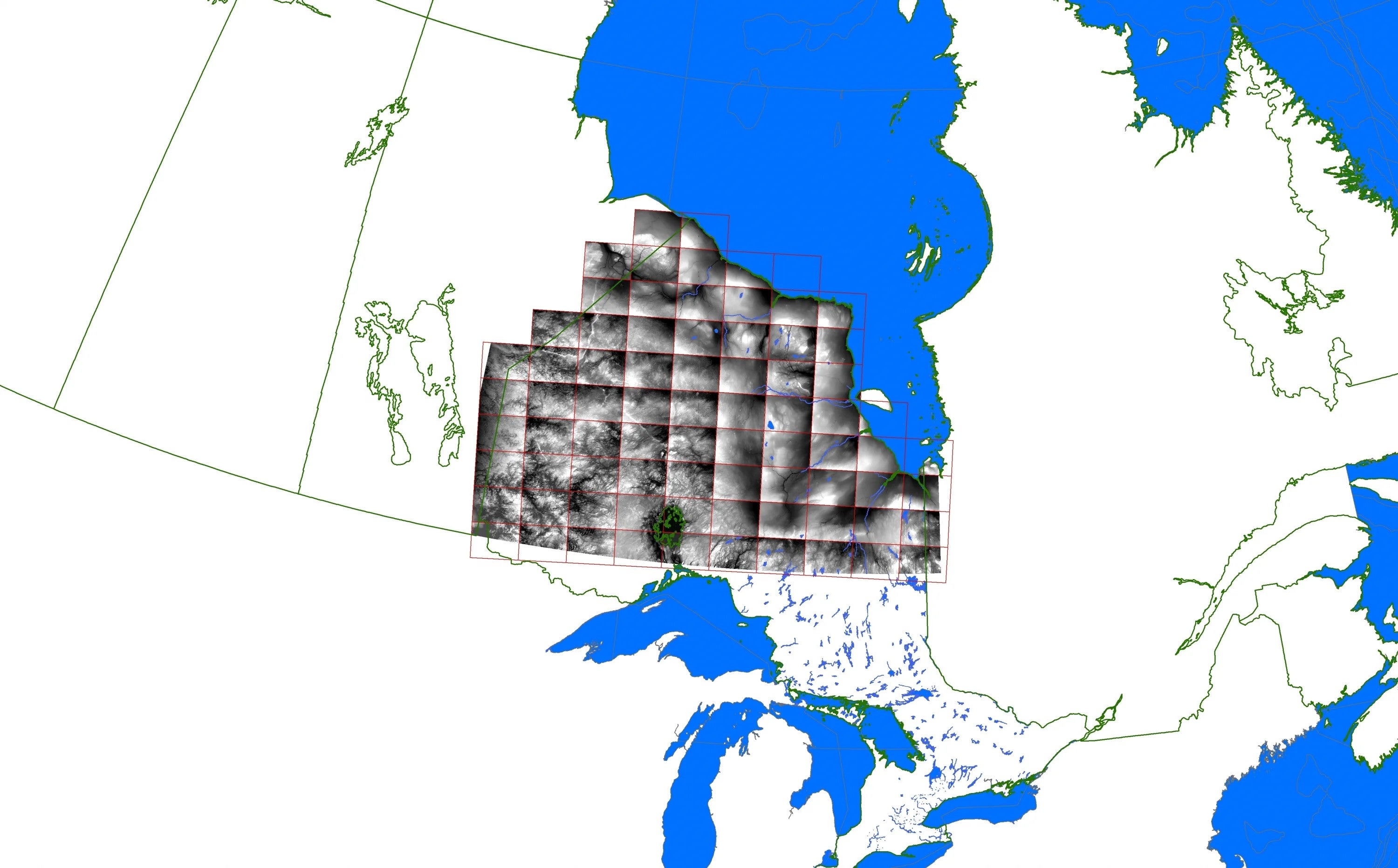
- Digital Elevation Model (DEM) (horizontal/ vertical accuracy +/- 50cm) DEM extent (PDF)
- Digital Surface Model (JPG) (DSM) metadata (PDF)
- Digital Terrain Model (DTM) (horizontal/ vertical accuracy +/- 10 metres)
- Drainage (line)
- Drainage (point)
- Geographic townships
- Hydro quaternary watersheds
- Land ownership
- Lots (geopolitical)
- Ontario Ministry of Natural Resources (OMNR) districts
- OMNR districts administrative areas
- Municipal boundaries (upper)
- Municipal boundaries (lower)
- Native reserves (non-government)
- Nature reserves park reserve (non-government)
- Permit to take water
- Pits and quarries
- Provincial parks (regulated)
- Park reserve
- Railway segments
- Road segments
- Soils
- Tanks
- Towers
- Trail segments
- Transport lines
- Utility lines
- Utility sites
- Water edges
- Water structures
- Water bodies
- Wetlands
Spatial reference and data type
These data are available in geographic co-ordinates; horizontal datum is North American Datum (NAD) 83. These data are stored as Esri shapefiles. Other data formats can be accommodated as the Geospatial Centre has access to a number of conversion utilities.
Use restrictions/licensing/copyright
These data are provided for personal use for academic, research, and/or teaching purposes. A data release agreement must be agreed to before these licensed data can be released. The Ontario Ministry of Natural Resources must be acknowledged on any derivative product, whether printed or electronic, including for example, a printed map, a raster or vector graphic, a web-based application, etc. Patrons are advised to fully respect the provisions of Canada's Copyright Act as well as terms and conditions imposed by the data provider.
Citation
Natural Resources and Values Information System [computer file]. Toronto, Ontario: The Ontario Ministry of Natural Resources, [2011].