Data access
This data is provided for free download from open.canada.ca.
Description
The Canada Land Inventory (CLI) classifies lands according to their physical capability to support agriculture (PDF), forestry (PDF), wildlife-ungulates (PDF), wildlife-waterfowl (PDF), and outdoor-recreation(PDF); and according to their land use (PDF) for the years 1965-1994. Many areas throughout Canada are available, although all areas are not covered by all land-use themes. This resource is available for download from GeoGratis, in either 1:50,000, 1:250,000, or 1:1,000,000 scales. More recent GIS files are available from: https://open.canada.ca/data/en/dataset/0c113e2c-e20e-4b64-be6f-496b1be834ee.
Spatial reference and data type
These data sets are available in geographic (lat/long) co-ordinates; horizontal datum is North American Datum (NAD) 27. These data are provided in .gif, .wmf, and .e00 ArcInfo export files. Other data formats can be accommodated, as the Geospatial Centre has access to a number of conversion utilities.
Data manipulation
There are public workstations in the Geospatial Centre that provide access to ArcGIS software programs, program extensions and data manipulation utilities. Patrons may use the Geographic Information System (GIS) and image processing software in the library to view and manipulate the data. UWaterloo faculty, students and staff may copy these data to other media.
Data output
This image may be exported from ArcGIS in a choice of bitmapped formats (also known as raster graphics) including JPG, TIFF, GIF, and BMP or in a choice of vector graphics formats including Adobe Illustrator (AI), Encapsulated Postscript (EPS), and Scalable Vector Graphics (SVG). Yet another option is PDF.
Citation
Canada Land Inventory [computer file]. Ottawa, ON.: Natural Resources Canada, 1965-1978.
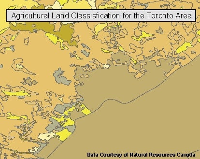
Sample view of the data