Data access
Full access to our resources is available to current students, faculty, and staff of the University of Waterloo. To request access, please complete the Ask-Us form indicating the specific layers (shapefiles) you require. Upon completion of the data release agreement form, the dataset will be provided to you via OneDrive.
In-person consultations may also be requested through the Ask-Us form.
Description
This data resource from Statistics Canada covers all of Canada, showing all Canadian census profiles for the years 1991,1996, 2001, 2006, 2011, 2016 and 2021.
For the 2021 Census, the following Geographic Units are available (descending order):
- PR (Province)
- FED (Federal electoral district)
- CD (Census division)
- ECU (Population Ecumene) - only cartographic
- FSA (Forward sortation area)
- CCS (Census consolidated subdivision)
- CSD (Census subdivision)
- ADA (Aggregate dissemination area)
- CT (Census tract)
- DA (Dissemination area)
- DB (Dissemination block)
- DP (Designated places)
For the Region of Waterloo the Geospatial Centre also has 2006 population and household profiles at the Dissemination Block (DB) geographic boundary level.
For the 2021 Census, the following profiles are available:
- Age & sex
- Citizenship
- Commute
- Employment
- Ethnicity
- Household Composition and Marital Status
- Housing
- Income
- Indigenous
- Languages
- Minorities
- Mobility
- Religion
Spatial reference and data type
These data sets are available in geographic (lat/long) co-ordinates; horizontal datum is North American Datum (NAD) 83. These data are stored as Esri shapefiles. Other data formats can be accommodated, as the Geospatial Centre has access to a number of conversion utilities.
Use restrictions/licensing/copyright
This material is provided for academic, research, teaching, and personal use only. A data release agreement must be signed before the data is delivered. Statistics Canada should be acknowledged on any derivative product, such as a map or an image.
Citation
Statistics Canada 2016 Census [computer file]. Ottawa, Ontario: Statistics Canada, [2016].
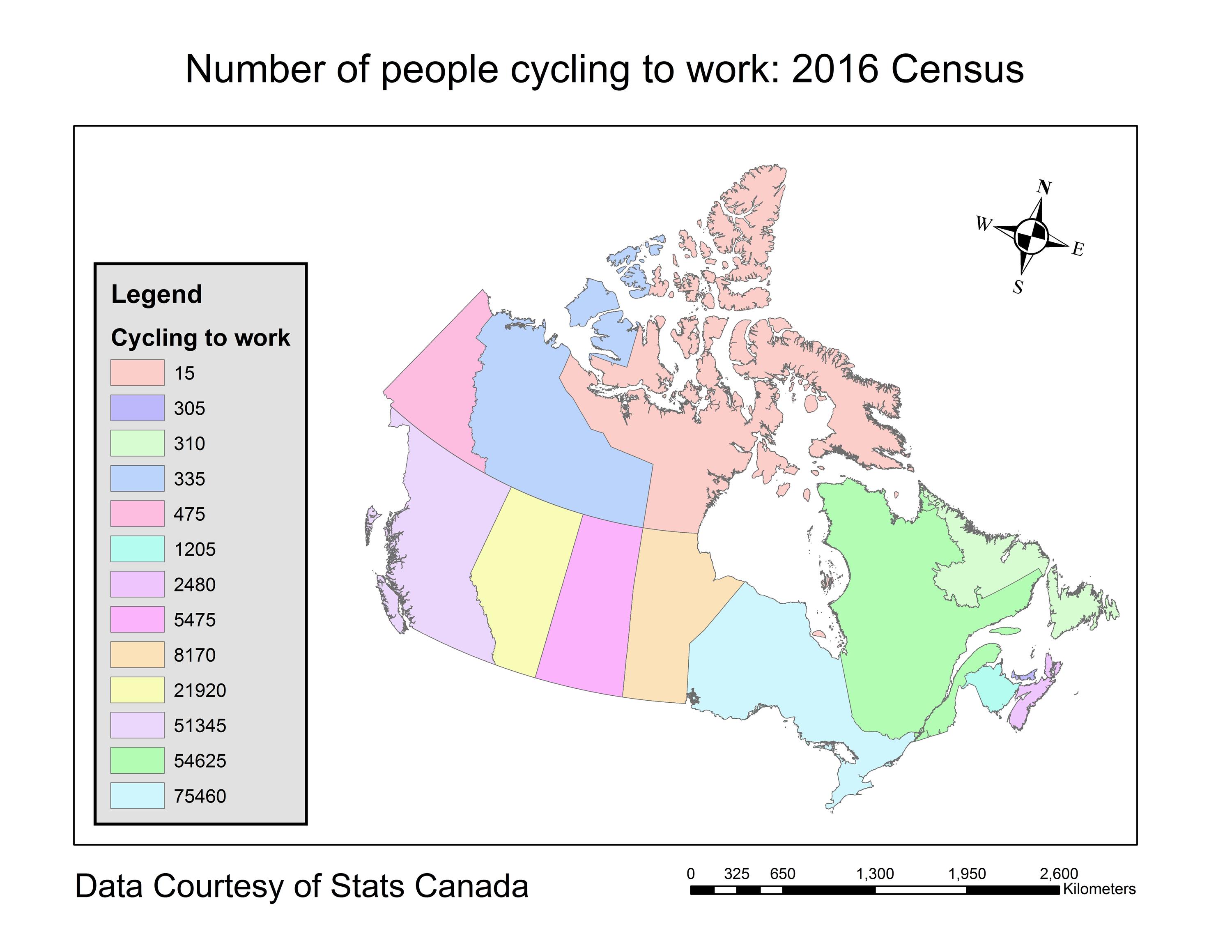
Sample view of the data