Description
Produced by the Ontario Ministry of Natural Resources, the Southwestern Ontario Orthophotography Project (SWOOP) image data consists of Fugro acquired digital imagery with sensor Leica Geosystems ADS100 collected between April 12th and May 23rd 2015. The true colour imagery has a resolution of 20cm.
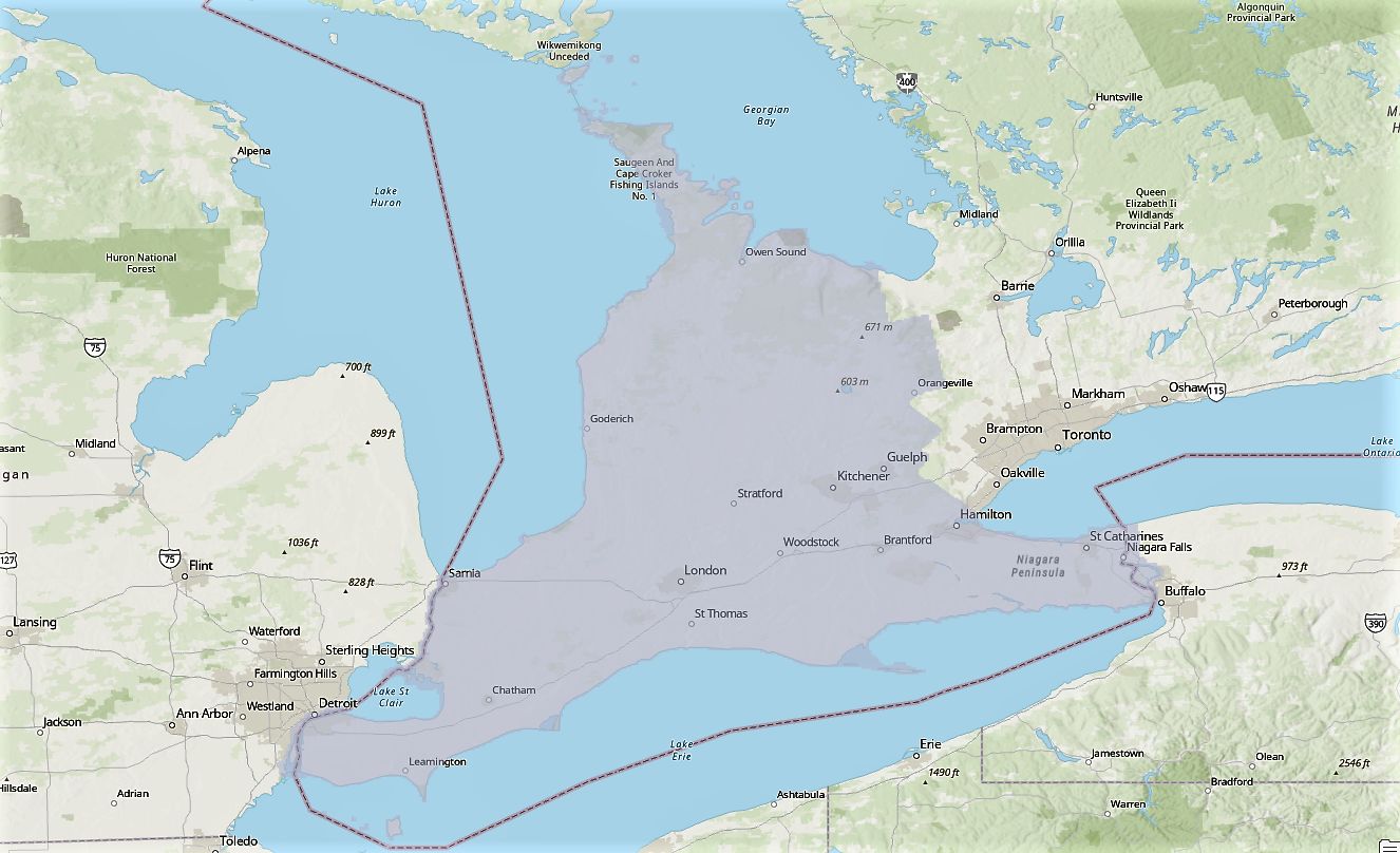
The SWOOP project covers an area of approximately 49,167 square kilometres and encompasses the following municipal tiers: Bruce County, Brant County, Elgin County, Essex County, Grey County, Haldimand County, Huron County, Lambton County, Middlesex County, Norfolk County, Oxford County, Perth County and Wellington County, Dufferin County (west), and the Municipality of Chatham-Kent.
Spatial reference and data type
These georeferenced images are available in Universal Transverse Mercator (UTM) coordinates; horizontal datum is North American Datum (NAD) 83. They are stored as JPG2000 image files. Average file size for a JP2 image is 9 MB.
Data access
To request this data, please fill out the Ask-Us form and include which layers (shapefiles) you are interested in obtaining. The dataset will be shared with you via OneDrive upon completion of the data release agreement form. You may also make an in-person appointment using the same form.
Use restrictions/licensing/copyright
These data are provided for personal use for academic, research, and/or teaching purposes. A data release agreement must be agreed to before these licensed data can be released. Ontario Ministry of Natural Resources must be acknowledged on any derivative product, whether printed or electronic, including for example, a printed map, a raster or vector graphic, a web-based application, etc. Patrons are advised to fully respect the provisions of Canada's Copyright Act as well as terms and conditions imposed by the data provider.
Citation
SWOOP: Orthophotography 2015 [computer file]. Ontario Ministry of Natural Resources, [2015].
Sample view of the data
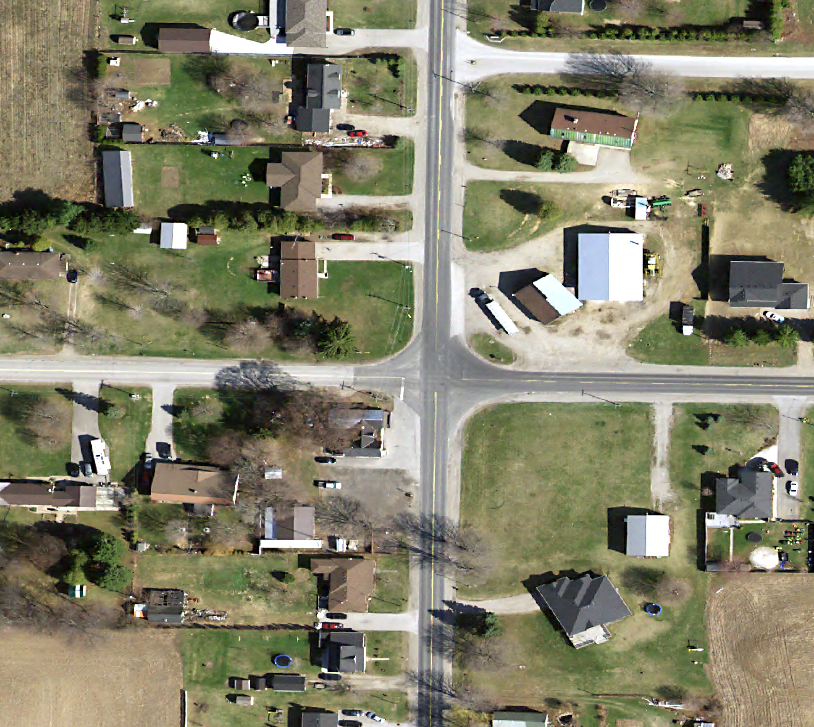
Data Courtesy of the Ministry of Natural Resources