Description
Esri ArcCanada version 3.0 is a collection of geospatial datasets designed for use in schools. This resource covers a wide variety of features, such as topographic data, census divisions, and statistical data. These datasets are available at a two scales, 1:1 million to 1:3 million. The Esri metadata for this product goes into considerable detail about each available layer.
Spatial reference and data type
These data sets are available in geographic (lat/long) co-ordinates; horizontal datum is North American Datum (NAD) 83. These data are stored as Esri shapefiles. Other data formats can be accommodated, as the Geospatial Centre has access to a number of conversion utilities.
Data access
In order to access this data set, please visit the Geospatial Centre reference desk during reference hours. Library reference staff are available to provide further information about these data sets and to deliver data upon request. Under the terms of the library's license agreement, these data sets are for use by students, faculty, and staff at the University of Waterloo only.
Data manipulation
There are public workstations in the Geospatial Centre that provide access to ArcGIS software programs, program extensions and data manipulation utilities. Patrons may use the Geographic Information System (GIS) and image processing software in the library to view and manipulate the data. UWaterloo faculty, students and staff may copy these data to other media (for example: CD, DVD or Zip disc) for use elsewhere.
Data output
This image may be exported from ArcGIS in a choice of bitmapped formats (also known as raster graphics) including JPG, TIFF, GIF, and BMP or in a choice of vector graphics formats including Adobe Illustator (AI), Encapsulated Postscript (EPS), and Scalable Vector Graphics (SVG). Yet another option is PDF.
Use restrictions/licensing/copyright
These data are provided for personal use for academic, research, and/or teaching purposes. A data release agreement must be agreed to before these licensed data can be released. Esri must be acknowledged on any derivative product, whether printed or electronic, including for example, a printed map, a raster or vector graphic, a web-based application, etc. Patrons are advised to fully respect the provisions of Canada's Copyright Act as well as terms and conditions imposed by the data provider.
Citation
Esri Arc Canada Version 3.1 [computer file]. Redlands, California: Environmental Systems Research Institute, [2001].
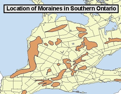
Sample view of the data
Data courtesy of Environmental Systems Research Institute Canada (Esri)