Description
This digital orthomosaic covers the entire Grand River watershed. The watershed extends from the headwaters of the Grand River near Luther Marsh Reservoir to the mouth of the Grand River at Port Maitland on Lake Erie. Aerial photography was flown in the Spring of 2006. The pixel resolution of the orthomosaic is 30cm.
The mosaic is made up of 2 km tiles (PDF). The file size of each tile is approximately 3,200 kb.
Spatial reference and data type
This geoferenced orthomosaic is in JPEG 2000 format and can be used with Geographic Information System (GIS) or Global Positioning System (GPS).
Data access
In order to access this electronic resource, please visit the Grand River Conservation Authority web site. Also, during reference hours, library reference staff are available to provide further assistance with downloading this data.
Data manipulation
There are public workstations in the Geospatial Centre that provide access to ArcGIS, program extensions and data manipulation utilities. Patrons may use the GIS and image processing software in the library to view and manipulate the data. University of Waterloo faculty, students and staff may copy these data to other media (for example: CD, DVD or Zip disc) for use elsewhere.
Data output
ArcGIS may be used to export small sections of the mosaic in a choice of bitmapped formats (also known as raster graphics) including JPG, TIFF, GIF, and BMP or in a choice of vector graphics formats including Adobe Illustrator (AI), Encapsulated Postscript (EPS), and Scalable Vector Graphics (SVG). Yet another option is PDF. The user defines the output resolution.
User restrictions/licensing/copyright
These data are provided for personal use for academic, research, and/or teaching purposes. A data release agreement must be agreed to before these licensed data can be released. The GRCA (Grand River Conservation Authority) must be acknowledged on any derivative product, whether printed or electronic, including for example, a printed map, a raster or vector graphic, a web-based application, etc. Patrons are advised to fully respect the provisions of Canada's Copyright Act as well as terms and conditions imposed by the data provider.
Citation
Grand River Watershed Orthomosaic 2006 [computer file]. Cambridge, Ontario: Grand River Conservation Authority, [2006].
Sample view of the data
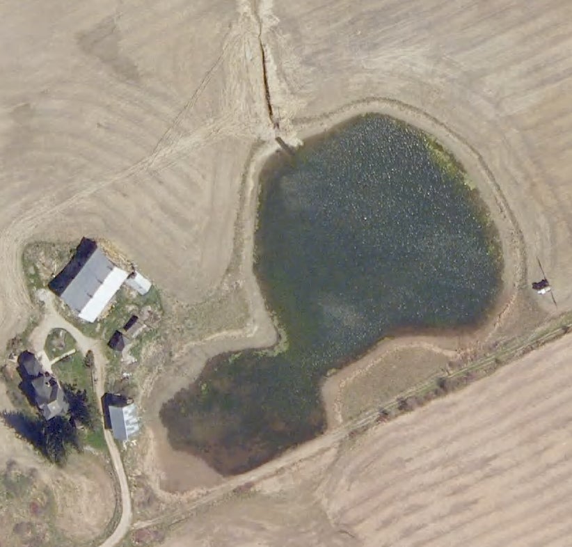
Data courtesy of the Grand River Conservation Authority