Data access
Full access to our resources is available to current students, faculty, and staff of the University of Waterloo. To request access, please complete the Ask-Us form indicating the specific layers (shapefiles) you require. Upon completion of the data release agreement form, the dataset will be provided to you via OneDrive.
In-person consultations may also be requested through the Ask-Us form.
Description
This collection of data products provides topographic and municipal planning information for the area encompassed by the City of Toronto. This data were provided to the Geospatial Centre by the City of Toronto, Geospatial Competency Centre between 2003 -2025. The City of Toronto also has current open data available from their website.
Data resources and data type
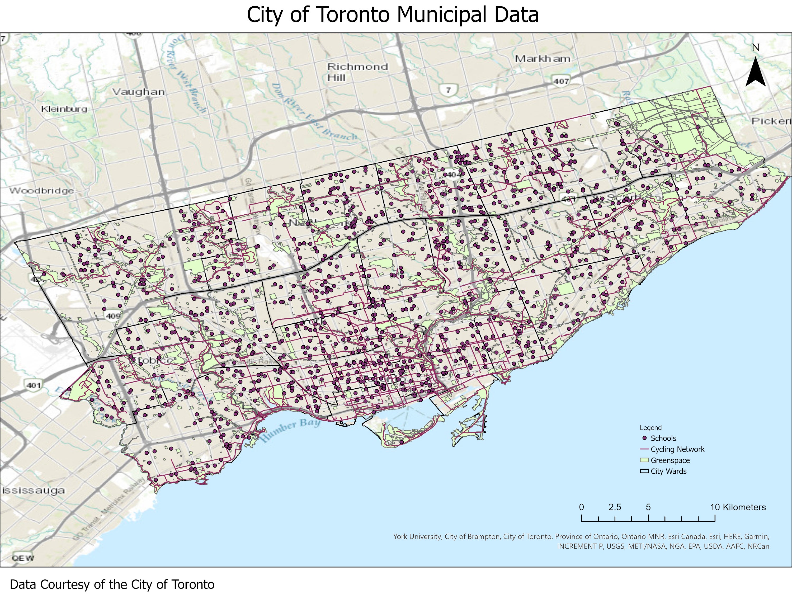
- Automated speed enforcement locations
- Buildings with Heights (2023)
- Bicycle parking racks
- Cycling network
- Business Improvement Areas
- Environmentally Significant areas
- Municipality boundaries
- Homicide data
- Major crime indicators
- Motor vehicle collisions
- Address points
- Neighbourhood crime rates
- Street bicycle parking
- On-street permit parking areas
- Pedestrian network
- Red light cameras
- contours (data type: shapefiles)
- city wards
- fire stations
- health services
- neighbourhoods
- generalized Digital Terrain Model (DTM) (data type: AutoCAD DWG and ASCII)
- property parcels (data type: shapefile)
- street trees
- Property Data Maps (PDM) 2011 - 2018 (data type: AutoCAD DWG)
- centre line streets (includes streets, rivers, creeks, ramps, hydro lines, laneways, railways, shorelines, trails, walkways) (data type: shapefiles)
- zoning
Spatial reference and data type
These data sets are available in Universal Transverse Mercator (UTM) co-ordinates; horizontal datum is North American Datum (NAD) 83. Centre line streets are also available in Modified Transverse Mercator (MTM) zone 10, (NAD) 27. Other data formats can be accommodated, as the Geospatial Centre has access to a number of conversion utilities.
Use restrictions/licensing/copyright
These data are provided for personal use for academic, research, and/or teaching purposes. A data release agreement must be agreed to before these licensed data can be released. The City of Toronto Geospatial Competency Centre must be acknowledged on any derivative product, whether printed or electronic, including for example, a printed map, a raster or vector graphic, a web-based application, etc. Patrons are advised to fully respect the provisions of Canada's Copyright Act as well as terms and conditions imposed by the data provider.
Citation
City of Toronto Municipal Data [computer file]. Toronto, Ontario: City of Toronto, Geospatial Competency Centre. [2018].
Sample views of the data