Description
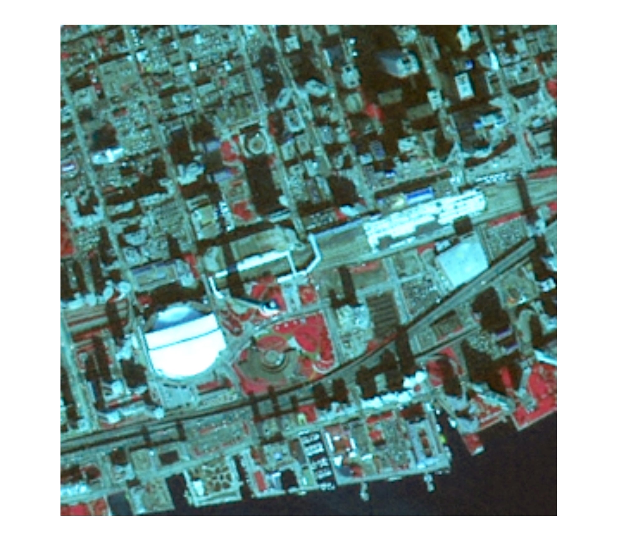
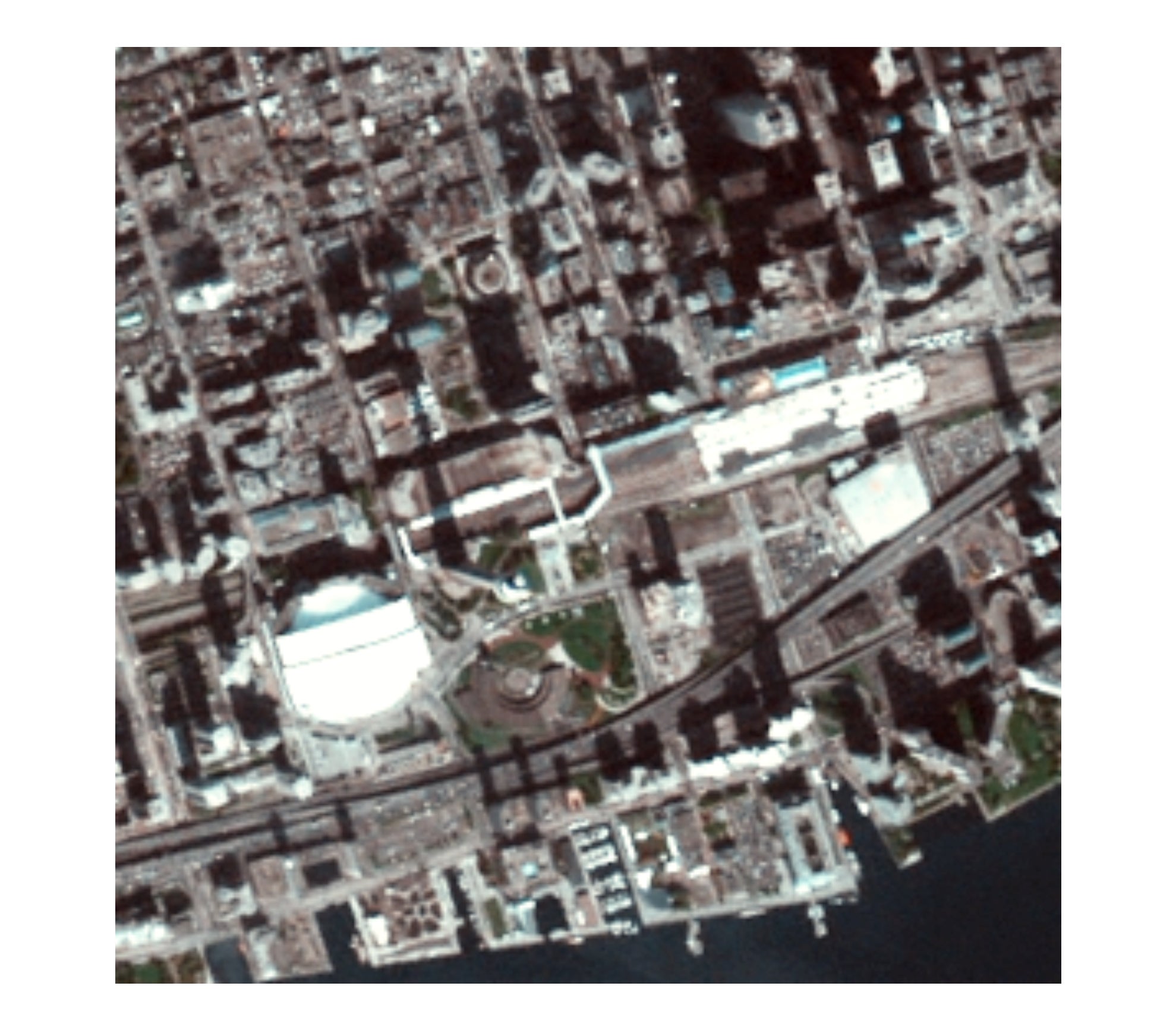
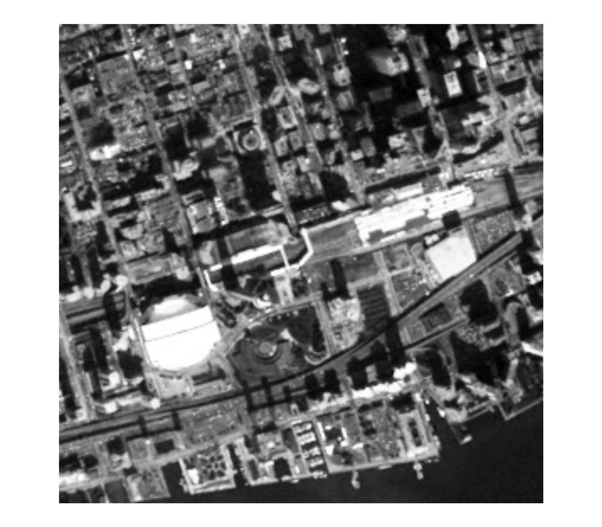
Received from Toronto, 2006 infrared, colour and panchromatic imagery covering the entire city of Toronto. Imagery was captured in October 2006, and processed at a ground resolution of 5 metres.
Spatial reference and data type
These georeferenced and mosaicked TIFF image files are available in Universal Transverse Mercator (UTM) zone 17, North American Datum (NAD) 83 coordinate system. Colour and infrared TIFFs are 169 megabytes (MB) each, while the panchromatic TIFF is 56 MB.
Data access
To request this data, please fill out the Ask-Us form and include which layers (shapefiles) you are interested in obtaining. The dataset will be shared with you via OneDrive upon completion of the data release agreement form. You may also make an in-person appointment using the same form.
Use restrictions/licensing/copyright
These data are provided for personal use for academic, research, and/or teaching purposes. Library staff will ask patrons to read and sign a data release agreement before these licensed data can be released. The City of Toronto, Geospatial Competency Centre must be acknowledged on any derivative product, whether printed or electronic, including, for example, a printed map, a raster or vector graphic, a web-based application, etc. Patrons are advised to fully respect the provisions of Canada's Copyright Act as well as the terms and conditions imposed by the data provider.
Citation
City of Toronto 2006 orthoimagery [computer file]. Toronto, Ontario: City of Toronto Geospatial Competency Centre. [2006].
| infrared | colour | panchromatic |
|---|---|---|
 |
 |
 |