Description
These data were received from Brock University on April 28, 2009 under the terms of a license agreement between Niagara Region and University of Waterloo.
These data consist of 12 orthomosaics, one for each of the 12 municipalities in the Niagara Region: St. Catharines, Niagara-on-the-Lake, Niagara Falls, Fort Erie, Pelham, Port Colborne, Welland, Thorold, Grimsby, West Lincoln, Wainfleet and Lincoln. These pan-sharpened images have a 10 cm pixel resolution and are derived from black and white photos flown in the spring of 2006. Aerial photography scale is: 1:10,000.
The imagery can also be viewed publicly using the Niagara Navigator site at: http://maps.niagararegion.ca/Navigator/
Spatial reference and data type
These georeferenced images are available in Universal Transverse Mercator (UTM) zone 17, North American Datum (NAD) 83 coordinate system. They are stored as compressed MrSID data files. Average file size for each of the 12 mosaics is approximately 1 GB.
Data access
In order to access these data sets, please visit the Geospatial Centre reference desk during reference hours. Library reference staff are available to provide further information about these data sets and to deliver data upon request. Under the terms of the library's license agreement, these data sets are for use by students, faculty, and staff at the University of Waterloo only.
Data manipulation and storage
There are public workstations in the Geospatial Centre that provide access to both ArcGIS and ArcView software programs, program extensions and data manipulation utilities. Patrons may use the Geographic Information System (GIS) and image processing software in the library to view and manipulate the data. UWaterloo faculty, students and staff may copy these data to other media (for example: CD, DVD or Zip disc) for use elsewhere.
Data output
These images may be exported from ArcGIS in a choice of bitmapped formats (also known as raster graphics) including JPG, TIFF, GIF, and BMP or in a choice of vector graphics formats including Adobe Illustrator (AI), Encapsulated Postscript (EPS), and Scalable Vector Graphics (SVG). Yet another option is PDF.
Use restrictions/licensing/copyright
These data are provided for personal use for academic, research, and/or teaching purposes. A data release agreement must be agreed to before these licensed data can be released. The Niagara Public Works Department must be acknowledged on any derivative product, whether printed or electronic, including for example, a printed map, a raster or vector graphic, a web-based application, etc. Patrons are advised to fully respect the provisions of Canada's Copyright Act as well as terms and conditions imposed by the data provider.
Citation
2006 Orthoimagery of the Niagara Region [computer file]. (2006). Thorold, ON: Regional Municipality of Niagara Public Works Department.
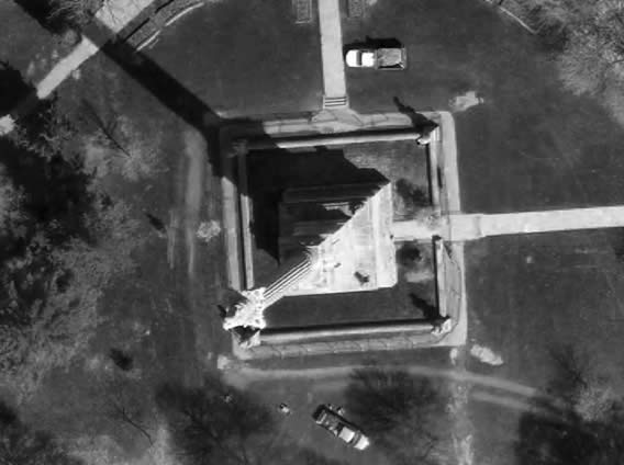
Sample view of the data