Data access
Full access to our resources is available to current students, faculty, and staff of the University of Waterloo. To request access, please complete the Ask-Us form indicating the specific layers (shapefiles) you require. Upon completion of the data release agreement form, the dataset will be provided to you via OneDrive.
In-person consultations may also be requested through the Ask-Us form.
Description
This data covers the entire Niagara Region and was received from the Niagara Region Authority in April 2010 and updated from the Niagara Open Data site in 2024
Niagara Region vector data
- address points
- arenas
- building footprints
- campgrounds
- cemeteries
- chambers of Commerce
- golf Courses
- government Facilities
- libraries
- marinas
- Niagara trails
- places of worship
- roads
- schools
- tourist information centres
- waste management
- waterbodies
- wineries
- woodlands
Spatial reference and data type
This data is in geodatabase format and is in Universal Transverse Mercator (UTM) zone 17, North American Datum (NAD) 83 coordinate system. The file size for the geodatabase is 86 MB.
Use restrictions/licensing/copyright
These data are provided for personal use for academic, research, and/or teaching purposes. A data release agreement must be agreed to before these licensed data can be released. The Niagara Region must be acknowledged on any derivative product, whether printed or electronic, including for example, a printed map, a raster or vector graphic, a web-based application, etc. Patrons are advised to fully respect the provisions of Canada's Copyright Act as well as terms and conditions imposed by the data provider.
Citation
Niagara Region Data [computer file]. Niagara Region (2010).
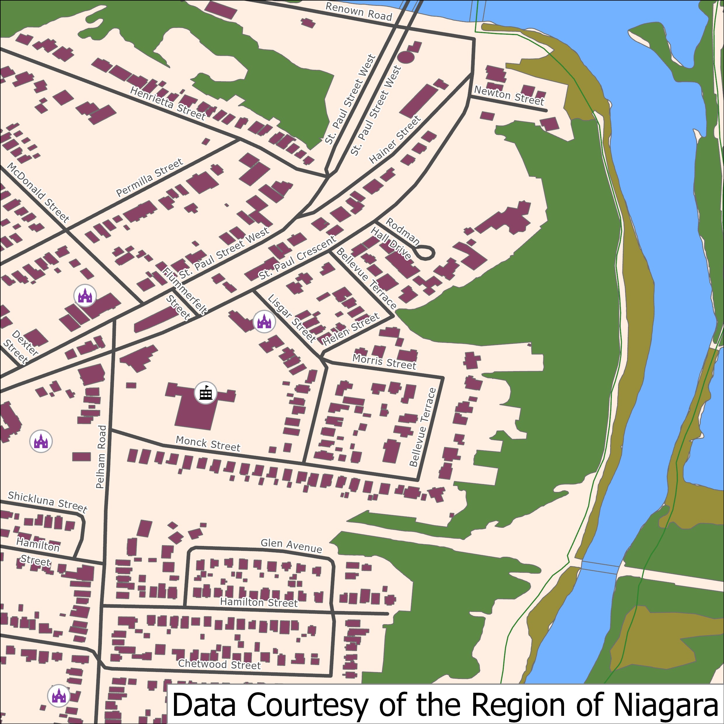
Sample view of the data