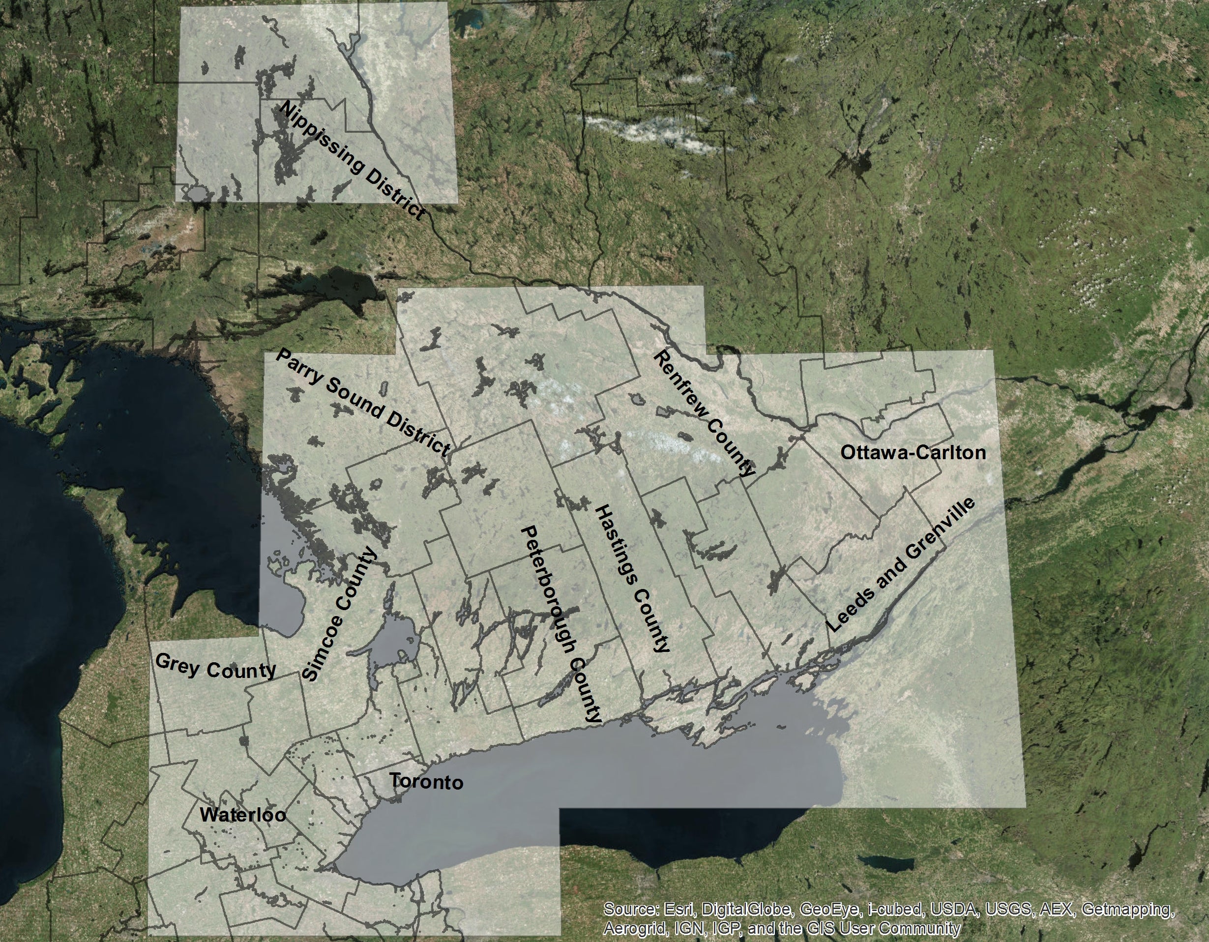
This metamap is a comprehensive database of pre-settlement vegetation coverage generated by several other cartographic sources including Artus et al (2009), Franscecut (1978), Heidenreich (1973) and Puric-Mladenovic (2003-2013, along with various co-authors/cartographers). Please reach out to the Geospatial Centre if you'd like to receive the files in KML (Google Earth) format. Return to main project site.
