Description
Received from LandInfo Worldwide Mapping, on June 24, 2011, two sets of 34 Joint Operation Graphic (JOG) maps of Greece, with accompanying index.
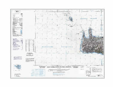
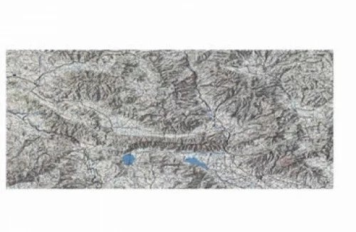
JOG topographic maps are a worldwide series produced by National Geospatial-Intelligence Agency (NGA), U.S. military mapping agency, Defense Mapping Agency (DMA), and National Imagery and Mapping Agency (NIMA). These maps have all of the standard topographic information; contours, power lines, roads, culture, etc. Some also have aeronautical information overlaid on the topographic map. The JOG series is the U.S. equivalent to the Soviet military series at 1:200,000.
The first set consists of 30 full scanned maps which includes the border and legend (non-georeferenced), with index. Maps NK 35-7b, NK 35-10b, NJ 35-2, NJ-35-15 are not included with this set, but are included with the georeferenced and cropped set.
The second set consists of 34 georeferenced and cropped scans (not including border and legend), with index.
Spatial reference and data type
The cropped and georeferenced data sets are available in geographic co-ordinates; horizontal datum is World Geodetic System 1984 (WGS84). Data files are in TFW (tif World File) format with average file size of 40 MB.
The non-georeferenced data files are in tif format with average file size of 60 MB. Other data formats can be accommodated, as the Geospatial Centre has access to a number of conversion utilities.
Data access
In order to access these data sets, please visit the Geospatial Centre Reference Desk during reference hours. Library reference staff are available to provide further information about these data sets and to deliver data upon request. Under the terms of the library's license agreement, these data sets are for use by students, faculty, and staff at the University of Waterloo only.
Data manipulation and storage
There are public workstations in the Geospatial Centre that provide access to both ArcGIS and ArcView software programs, program extensions and data manipulation utilities. Patrons may use the Geographic Information System (GIS) software in the library to view and manipulate the data. UWaterloo faculty, students and staff may copy these data to other media (for example: CD, DVD or Zip disc) for use elsewhere.
Data output
These files may be exported from ArcGIS in a choice of bitmapped formats (also known as raster graphics) including JPG, TIFF, GIF, and BMP or in a choice of vector graphics formats including Adobe Illustrator (AI), Encapsulated Postscript (EPS), and Scalable Vector Graphics (SVG). Yet another option is PDF.
Use restrictions/licensing/copyright
These data are provided for personal use for academic, research, and/or teaching purposes. Library staff will ask patrons to read and sign a data release agreement before these licensed data can be released. Landinfo Worldwide Mapping must be acknowledged on any derivative product, whether printed or electronic, including for example, a printed map, a raster or vector graphic, a web-based application, etc. Patrons are advised to fully respect the provisions of Canada's Copyright Act as well as terms and conditions imposed by the data provider.
Citation
Joint Operation Graphic (JOG) Maps of Greece [computer file], Landinfo Worldwide Mapping. [2011]
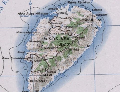
Sample view of data
Nisos Kea, Greece