GIS Data for Download
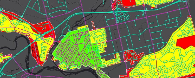
The table below consists of the historical street files available in both Esri Shapefile for GIS software use, as well as the Keyhole Markup Language (KML) file, available for viewing in Google Earth. To view the files in Google Earth, you will need to have Google Earth installed on your computer. Click on the KML file of interest and select 'open'. This file will automatically open for you in Google Earth.
| Description | Esri Shapefile | KML - in Firefox right click on the file name and "Save Link As" |
| 1955 Regional Municipality of Waterloo Street Network (RMOW) | RMOW | RMOW |
| 1955 Cities of Kitchener, Waterloo and Cambridge Street Network | ||
| Extent of Urban Built-up Area | ||
| Change in Street Names |
These data are copyright Geospatial Centre
Esri Shapefiles are available in NAD83 UTM Zone 17.
Please email any questions, comments or suggestions to :
Eva Dodsworth, Geospatial Data Services Librarian
University Map Library, 2011