Story Map "Swipe" and "Spyglass" is an ArcGIS online application that enables users to interact with two web maps or two layers. A vertical bar or spyglass is used to alternate between two map interfaces, giving a visual comparison and also a useful tool for illustrating change over time.
By utilizing historical maps in the Geospatial Centre's collection, the "Spyglass" application vividly shows change over time.
* For best results view in firefox
•
Dundas
1851
and
Today:
http://arcg.is/2jRscUm
•
Galt
1867
and
Today:
http://arcg.is/2jR7u7c
•
Ottawa
1911
and
Today:
http://arcg.is/2jRvLKn
•
Toronto
1857
and
Today:
http://arcg.is/2jRaAbw
•
Toronto
1888
and
Today:
http://arcg.is/2jRs5bv
•
Toronto
1912
and
Today:
http://arcg.is/2jRt8s7
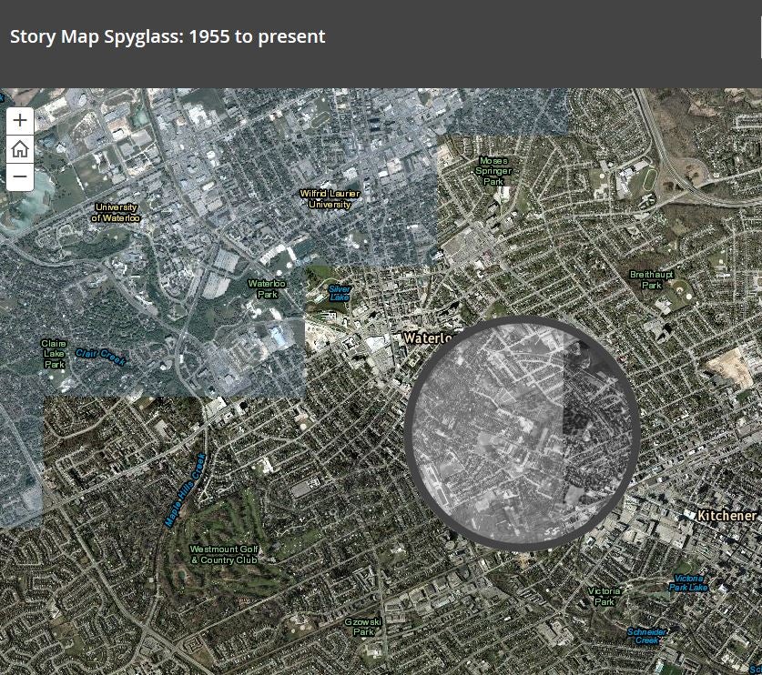
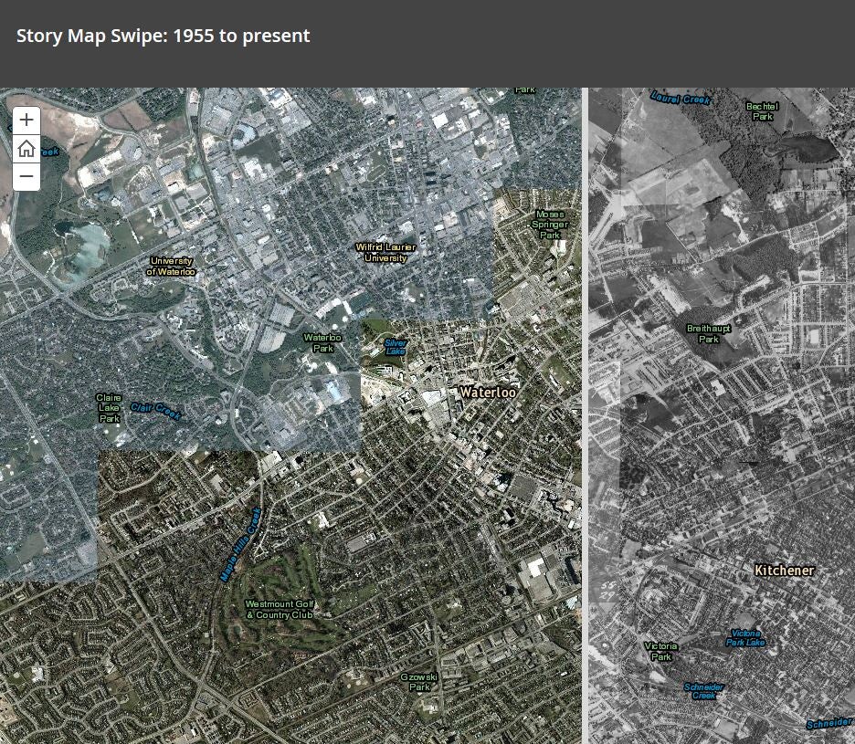
To illustrate Kitchener-Waterloo (1955 to present), the Geospatial Centre's 1955 air-photo collection is utilized for both the Story Map "Swipe" and Story Map "Spyglass" applications in ArcGIS online.
Story Map Swipe: 1955 to present (click on image)
Story Map Spyglass: 1955 to present (click on image)