Justin Murfitt, PhD student in the Department of Geography and Environmental Management and recipient of the prestigious Vanier Canada Graduate Scholarship, is focussing his research on understanding the interaction between radar signals and lake ice in Canada, and how we can better monitor changes in the timing of lake ice cover and ice thickness.
“Successfully developing methods to extract this type of data from radar images would be very beneficial for communities across North America – particularly at northern latitudes – where there is a reliance on the presence of lake ice for the transportation of supplies, travel, and recreation,” said Murfitt, supervised by Water Institute member Claude Duguay. “Knowledge of ice thickness is particularly important as people who use these ice roads need to know whether or not it is safe to travel.”
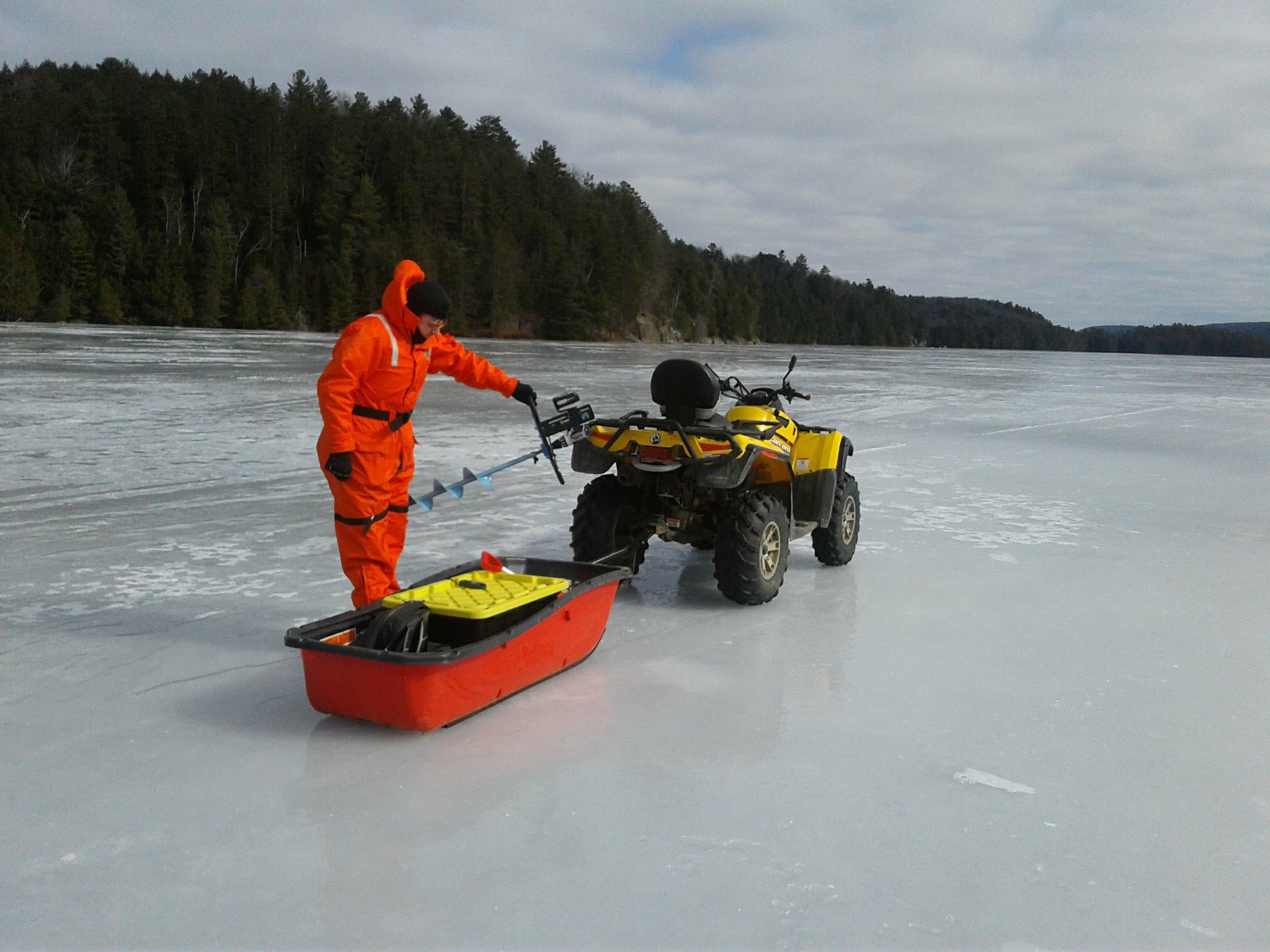
Whether you drive to cottage country, or fly across the country, lakes make up a major component of Canada’s landscape. Because of Canada's weather, many of these lakes are frozen from anywhere between five months to, in some cases in the High Arctic, all year. Gathering field data on the timing of when lakes freeze or the maximum ice thickness for all lakes in Canada is simply not possible, and the amount of data collected has been declining since the 1980s. This is why remote sensing is so important.
“Using satellites we can capture large volumes of lakes in a single image, and with the time decreasing between when a satellite views the same location it is now possible to get more frequent observations of changing ice conditions,” said Murfitt. “Understanding why lakes appear as they do in these images, and developing new methods using that understanding to gather information on lake ice timing and thickness, will be essential as the climate continues to change.”
Murfitt’s research is part of the Claude Duguay's Lake-atmosphere interactions at northern high latitudes: Remote sensing and process studies project.