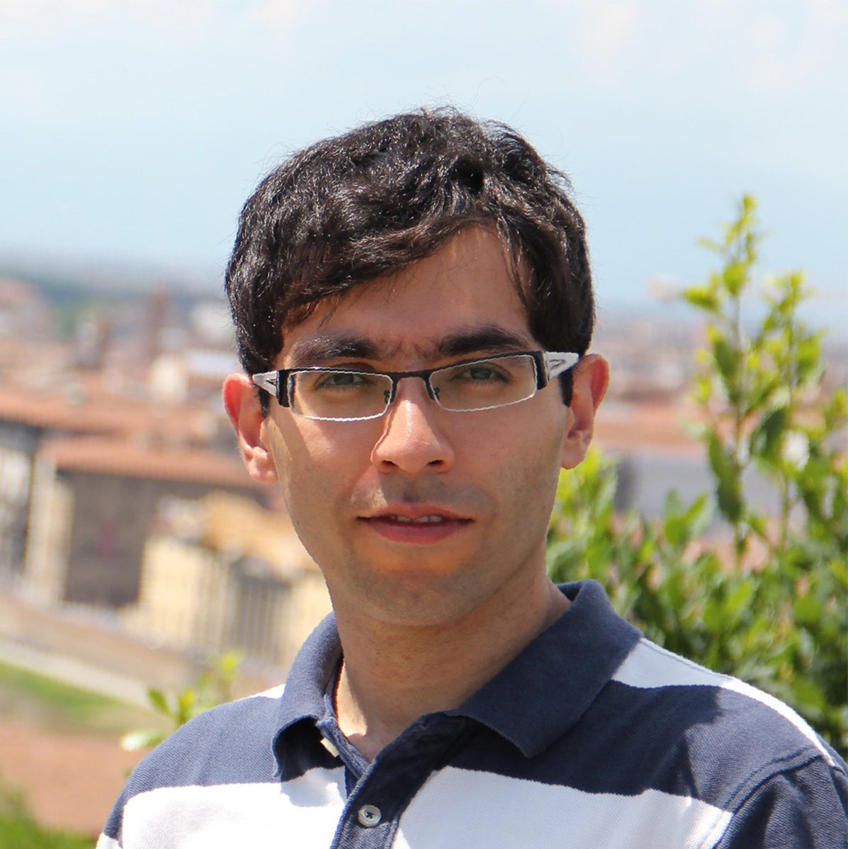
In 2011, he was awarded the European Union Erasmus Mundus fellowship and returned to university to continue his studies in the field of GIScience and remote sensing at the University of Twente in The Netherlands. Focusing on the role of the rail transportation system, he carried out his MSc research project on "Measuring Transit Oriented Development" by developing a geographic information system (GIS)-based analytical tool and employing spatial multi-criteria analysis in conjunction with spatial statistical methods. The result of this research was published in the Journal of Transport Geography in 2014.
Since 2014, Pedram has been a research assistant for the "Light Rail Transit and Core-Area Intensification: Unpacking Causal Relationships" project, and was a teaching assistant co-ordinator for ENVS 178 (Introduction to Environmental Research Methods), where he received the Excellence Award for Teaching Assistance from the School of Planning. Aside from his occasional exploration through cities and hiking trails with his wife, he enjoys playing city building computer games in his spare time.
Pedram is being supervised by Jeff Casello.
Project
Development and implementation of a spatial-temporal analytical framework to investigate land use and transportation system interactions, the case of Waterloo Region light rail transit (LRT) development
In Pedram's research, through development of combined statistical data-driven methodologies, he studies spatial and temporal patterns of land use changes induced by introduction of LRT as a major public transit intervention. He aims to better investigate land use and transportation system interactions, specifically by understanding the impacts of transportation accessibility profile changes at both local and regional scales. This ultimately helps to make more informed urban development decisions for metropolitan areas.